Home
All Products
Historic Maps
American Indian Maps
Birds Eye View Maps
Civil War Maps
Panoramic Maps
Railroad Maps
Revolutionary War Maps
State Maps
Historic Prints
Civil War Prints
Civil War Posters
Historic Portraits
Presidential Portraits
Contact Us
0
0
Search Product or SKU
×
press
Enter
to search
Showing all results:
No products found.
Home
/
Civil War Maps
/
West Virginia
/
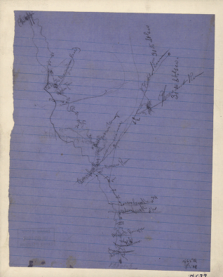
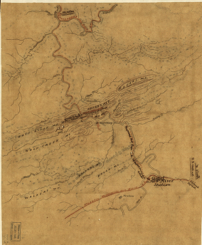
Rough sketch of the roads between Beverly, W. Va., Leadsville, Bealington, and Philippi, and Bealington and Meadowville, in the Rich Mountain area
$
17.95
–
$
47.95
SKU: cwwv0020
Paper Size
Choose an option
Choose an option
12" x 18"
18" x 24"
24" x 36"
Choose an option
12" x 18"
18" x 24"
24" x 36"
Clear
Quantity
Qty
Add to cart
Description
CREATED/PUBLISHED [1861]
SKU:
cwwv0020
Category:
West Virginia
Related products
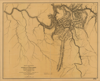
Military reconnaissance in the vicinity of Gauley Bridge
$
17.95
–
$
47.95
Route of the New River R.R.
$
17.95
–
$
47.95
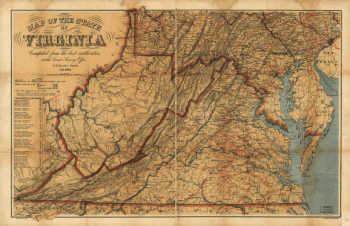
Map of the State of Virginia
$
17.95
–
$
47.95
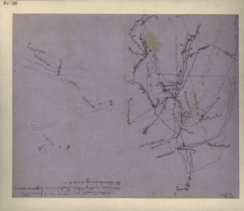
Rough sketch of the Rich Mountain battle area
$
17.95
–
$
47.95
Search Product or SKU
×
Home
All Products
Historic Maps
American Indian Maps
Birds Eye View Maps
Civil War Maps
Panoramic Maps
Railroad Maps
Revolutionary War Maps
State Maps
Historic Prints
Civil War Prints
Civil War Posters
Historic Portraits
Presidential Portraits
Contact Us
Cart
0
Cart
Close
Updating…
No products in the cart.
Continue shopping