West Virginia
-

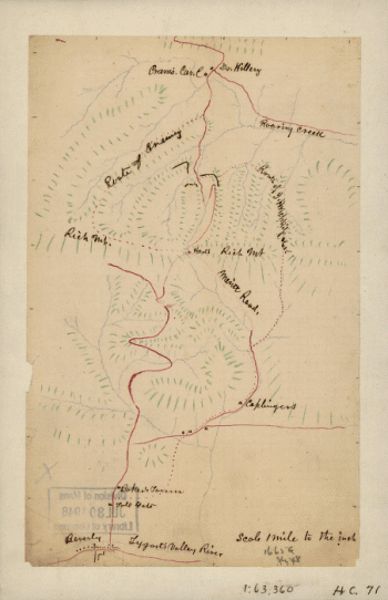
Area of the battle of Rich Mountain
$17.95 – $47.95 -
Battle of Rich Mt.
$17.95 – $47.95 -
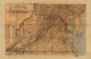
Map of the State of Virginia
$17.95 – $47.95 -
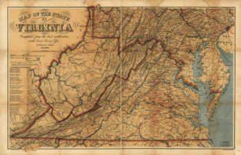
Map of the State of Virginia
$17.95 – $47.95 -
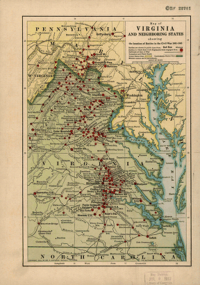
Map of Virginia and neighboring states
$17.95 – $47.95 -
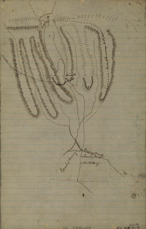
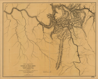
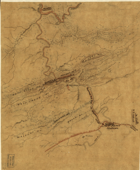
Military reconnaissance in the vicinity of Gauley Bridge
$17.95 – $47.95 -
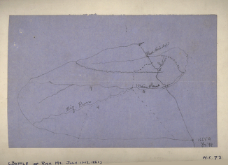
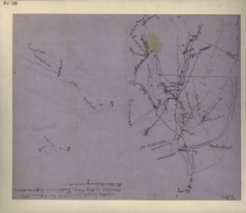
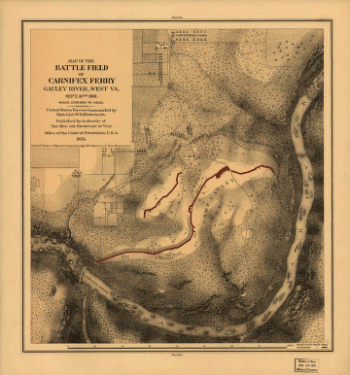
Rich Mountain battlefield, July 11-12, 1861
$17.95 – $47.95 -
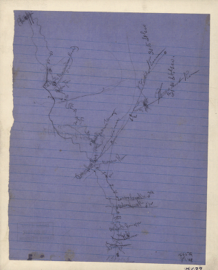
Rough sketch of the Rich Mountain battle area
$17.95 – $47.95 -
Route of the New River R.R.
$17.95 – $47.95 -
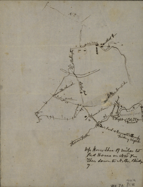
Sketch of the battle of Rich Mountain
$17.95 – $47.95