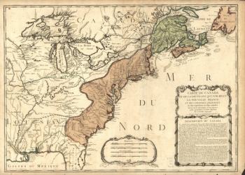
Louisiana
-

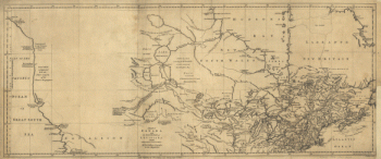
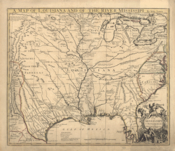
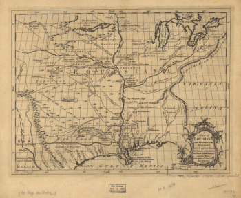
A map of Louisiana and of the river Mississipi
$17.95 – $47.95 -
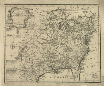
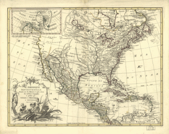
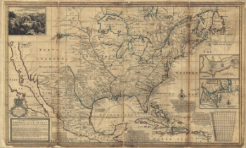
Amplissima regionis Mississipi seu provinciæ Ludovicianæ â R.P.
$17.95 – $47.95 -
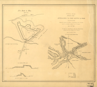
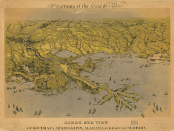
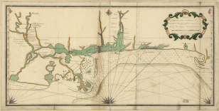
Approaches to Fort Butte La Rose, Louisiana
$17.95 – $47.95 -
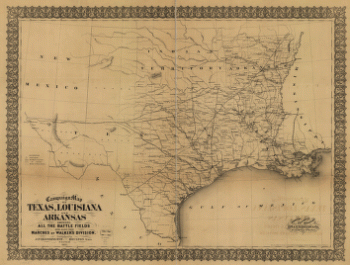
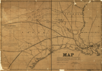
Campaign map of Texas, Louisiana and Arkansas
$17.95 – $47.95 -
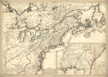
Franquelin's map of Louisiana.
$17.95 – $47.95 -
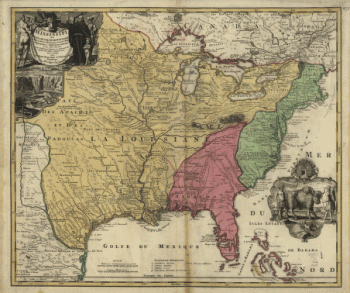
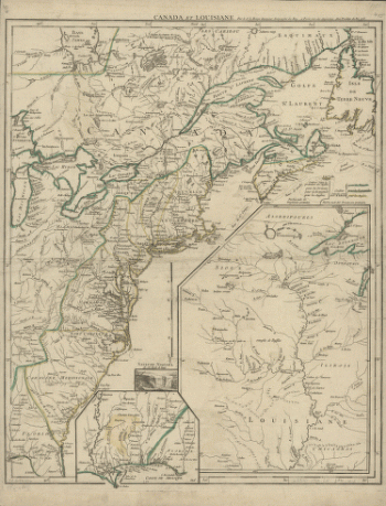
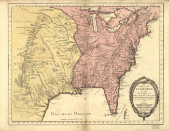
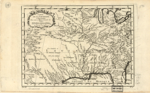
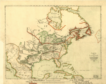
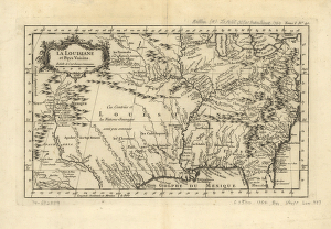
La Louisiane et pays voisins.
$17.95 – $47.95 -
La Luisiana cedida al Rei N. S. por S. M. Christianisima
$17.95 – $47.95 -
Louisiana
$17.95 – $47.95 -
Louisiana
$17.95 – $47.95 -
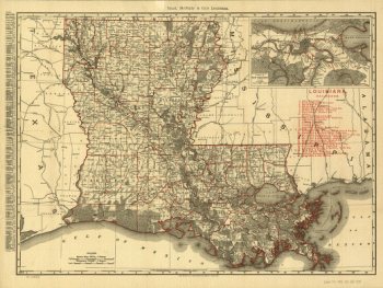
Louisiana from 1896
$17.95 – $47.95 -
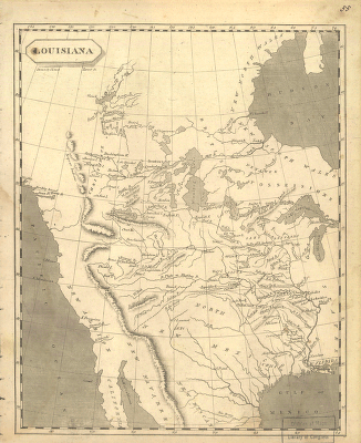
Louisiana.
$17.95 – $47.95 -
Map of Las Ormigas Grant, Sabine and DeSoto Parishes, Louisiana
$17.95 – $47.95 -
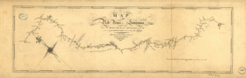
Map of the Red River in Louisiana
$17.95 – $47.95 -
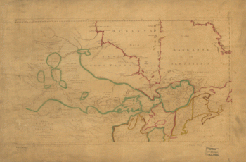
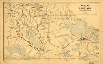
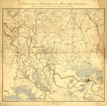
Military map of part of Louisiana
$17.95 – $47.95 -
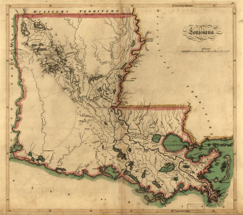
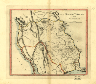
Missouri territory formerly Louisiana.
$17.95 – $47.95 -
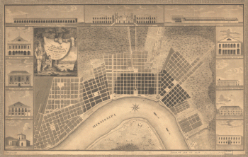
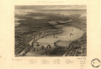
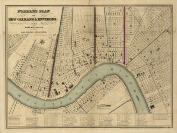
Norman's plan of New Orleans & environs, 1845
$17.95 – $47.95 -
Part of Louisiana and Mississippi
$17.95 – $47.95 -
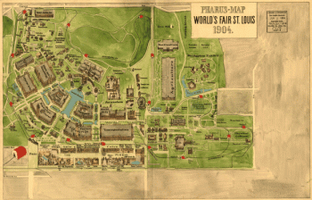
Pharus-map World's Fair St. Louis, 1904.
$17.95 – $47.95 -
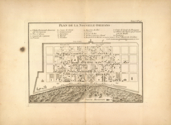
Plan de la Nouvelle Orleans
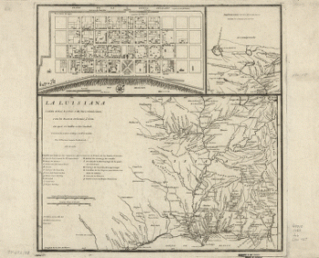
$17.95 – $47.95 -
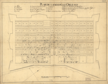
Plan de la Nouvelle Orleans / Anonymous.
$17.95 – $47.95 -
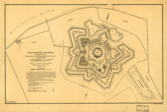
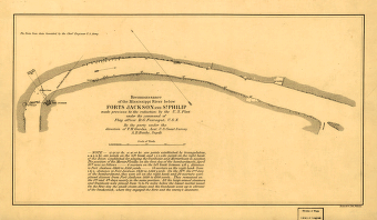
Plan of Fort Jackson
$17.95 – $47.95 -
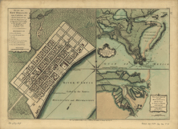
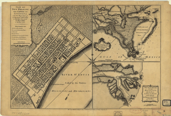
Plan of New Orleans
$17.95 – $47.95 -
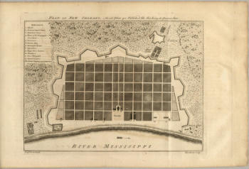
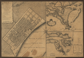
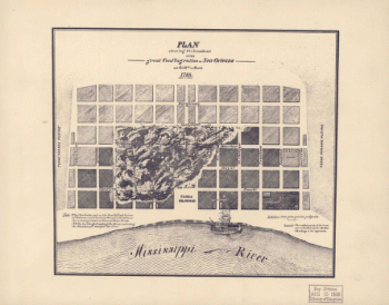
Plan of New Orleans the capital of Louisiana
$17.95 – $47.95 -
Plan of New Orleans the capital of Louisiana
$17.95 – $47.95 -
Plan of the city and suburbs of New Orleans
$17.95 – $47.95 -
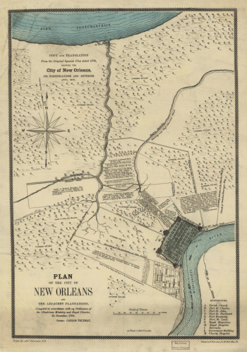
Plan of the City of New Orleans and adjacent plantations
$17.95 – $47.95 -
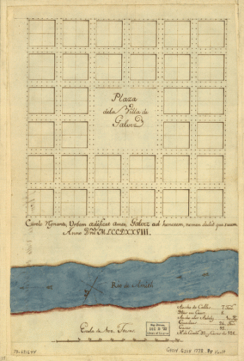
Plaza de la villa de Galvez.
$17.95 – $47.95 -
Port Hudson
$17.95 – $47.95 -
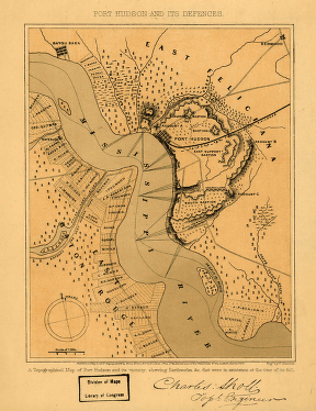
Port Hudson and its defences
$17.95 – $47.95
![Plan général du Fort Septentrional du Detour des Anglois, tel qu'il est présentement : [Louisiana]](https://www.ushistoricalarchive.com/wp-content/uploads/nc/data/products/im/sm/la/b14-350x178.gif)