Map of the Chester, Iron Mountain & Western Railroad and its connections. Map of Missouri, Illinois, and vicinity. Shows drainage, cities and towns, the railroad network, coalfields, and iron and lead mines. G.W. & C.B. Colton & Co. CREATED/PUBLISHED New York, 1881. Scale 1:1,267,200.
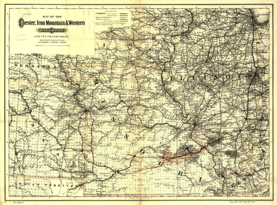
Chester, Iron Mountain, and Western Railroad
$17.95 – $47.95
SKU: rrac52
Related products
-

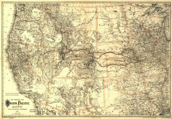
Union Pacific Railway Company
$17.95 – $47.95 -
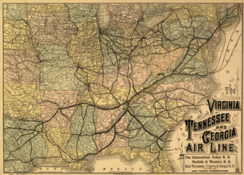
Virginia, Tennessee, and Georgia Air Line Railroad
$17.95 – $47.95 -
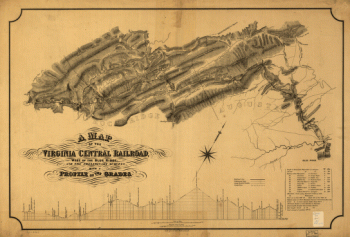
Virginia Central Railroad Company
$17.95 – $47.95 -
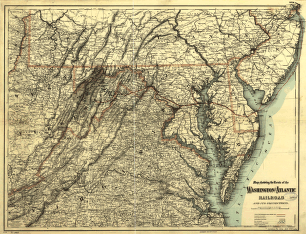
Washington and Atlantic Railroad
$17.95 – $47.95