Map of New York & Erie Rail Road and its connections; the most direct route from New York to all western cities and towns. Outline map of the northeastern and north-central United States with the railroad network overprinted in red. A red border is printed around the map simulating a wooden frame. Colton, J. H. (Joseph Hutchins), 1800-1893. CREATED/PUBLISHED N[ew] Y[ork] J.H. Colton & Co., 1855. Scale ca. 1:3,250,000.
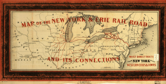
New York and Erie Railroad Company
$17.95 – $47.95
SKU: rrlo52
Related products
-

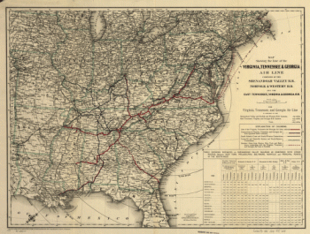
Virginia, Tennessee, and Georgia Air Line Railroad
$17.95 – $47.95 -
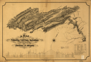
Virginia Central Railroad Company
$17.95 – $47.95 -
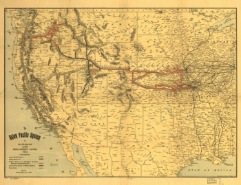
Union Pacific Railroad Company
$17.95 – $47.95 -
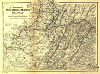
West Virginia Midland Railroad
$17.95 – $47.95