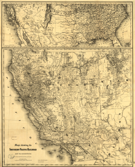
Maps showing the Southern Pacific Railroad and its connections. in map shows western states and includes relief by hachures, drainage, cities and towns, township and ranges, counties, railroads, and proposed railroads. General map, at top of sheet, covers the United States and shows the railroad network. First section, the Central Pacific linked California with Ogden, Utah, in 1869. The merging of the Central with the Southern Pacific was the inspiration of Leland Stanford, Collis P. Huntington, Mark Hopkins, and Charles Crocker. G.W. & C.B. Colton & Co. CREATED/PUBLISHED New York, 1875. Scale 1:2,090,880 and ca. 1:8,000,000.
Southern Pacific Railroad Company
$17.95 – $47.95
SKU: rrsz20
Related products
-

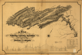
Virginia Central Railroad Company
$17.95 – $47.95 -
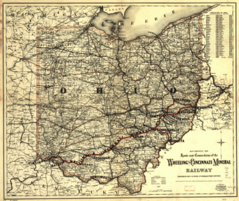
Wheeling and Cincinnati Mineral Railway
$17.95 – $47.95 -
Union Pacific Railroad Company
$17.95 – $47.95 -
Union Pacific Railroad Company
$17.95 – $47.95