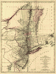
With part of Pensilvania and the province of Quebec. Drawn by Major Holland, Surveyor General of the Northern District in America. Corrected and improved, from the original materials, by Governr. Pownall. Hen. Contger, Sculp. Mog. Pownall, Thomas, 1722-1805. CREATED/PUBLISHED Frankfort upon the Mayn, Harry Lodowick Broenner, 1777. NOTES Scale ca. 1:650,000. Hand colored. Relief shown pictorially. Prime meridian: London. Insets: A chart of the mouth of Hudsons River, from Sandy Hook to New York.–Plan of Amboy with its environs from an actual survey.–A plan of the city of New York.

The provinces of New York, and New Jersey
$17.95 – $47.95
SKU: rwnjar104600
Related products
-

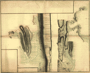
New York Island and East Jersey
$17.95 – $47.95 -
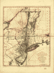
A map of the Province of New-York
$17.95 – $47.95 -
A map of the provinces of New-York and New-Yersey
$17.95 – $47.95 -
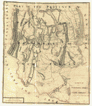
A sketch of the northern parts of New Jersey
$17.95 – $47.95