Home
All Products
Historic Maps
American Indian Maps
Birds Eye View Maps
Civil War Maps
Panoramic Maps
Railroad Maps
Revolutionary War Maps
State Maps
Historic Prints
Civil War Prints
Civil War Posters
Historic Portraits
Presidential Portraits
Contact Us
0
0
press
Enter
to search
Showing all results:
No products found.
Home
/
Revolutionary War Maps
/
South
/
[Zehn Karten und Ansichten den Schlachtfelden des amerikanischen Unabhangigkeitskreiges in den Staaten Pennsylvanien und New York]
[Zehn Karten und Ansichten den Schlachtfelden des amerikanischen Unabhangigkeitskreiges in den Staaten Pennsylvanien und New York]
$
17.95
–
$
47.95
SKU: rwso44
Paper Size
Choose an option
12" x 18"
18" x 24"
24" x 36"
Clear
Quantity
Qty
Add to cart
Description
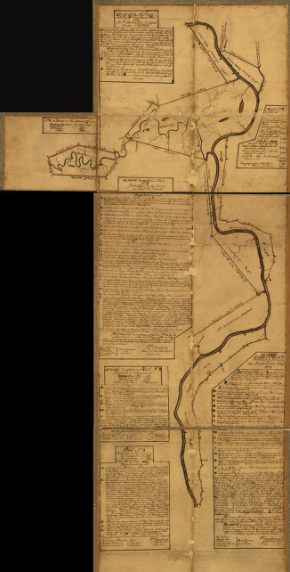
Bataille am Brandywyne Fluss d. 11 Sept. 1777 [map]
SKU:
rwso44
Category:
South
Related products
Eight survey tracts along the Kanawha River, WVa showing land granted to George Washington and others
$
17.95
–
$
47.95
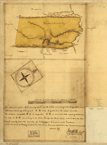
Map of the county of Frederick, 1769 Drawn by J Moffett
$
17.95
–
$
47.95
Plan of the city of New York , An exact prospect of Charlestown : the metropolis of the province of South Carolina
$
17.95
–
$
47.95
Plat of a survey for William Hughes, Jr of 460 acres in Frederick County, Va on the Cacapon River
$
17.95
–
$
47.95
Search Product or SKU
×
Home
All Products
Historic Maps
American Indian Maps
Birds Eye View Maps
Civil War Maps
Panoramic Maps
Railroad Maps
Revolutionary War Maps
State Maps
Historic Prints
Civil War Prints
Civil War Posters
Historic Portraits
Presidential Portraits
Contact Us
Cart
0
Cart
Close
Updating…
No products in the cart.
Continue shopping