Prepared under direction of Capt. P. C. Hains, U.S.A., Act. Chief, Engineer Dept. of the GulfDrawn for stone by Helmuth Holtz. Hains, Peter C. 1840-1921. (Peter Conover), CREATED/PUBLISHED [S.l.], Printed by W. Pro[bert, 1864?] NOTES Scale 1:380,160. General map of southern Alabama and West Florida showing roads, railroads, towns, drainage, and a few names of residents along the Tensaw River.
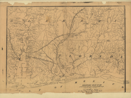
Military map no. 54, prepared as basis for additional surveys
$17.95 – $47.95
SKU: smal17
Related products
-

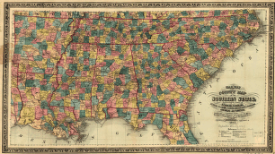
Railway and county map of the Southern States
$17.95 – $47.95 -
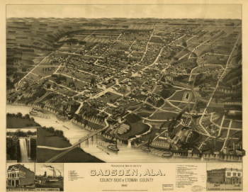
Perspective map of the city of Gadsden, Ala
$17.95 – $47.95 -
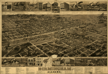
Birmingham, Alabama. H. Wellge, del. Beck & Pauli, litho.
$17.95 – $47.95 -
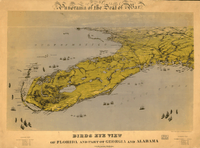
Birds eye view of Florida and part of Georgia and Alabama
$17.95 – $47.95