Embracing the States of N. Carolina, S. Carolina, Georgia, Alabama, Florida, Mississippi, Louisiana, Arkansas, and Tennessee exhibiting all the towns, villages, stations, & landings; the rivers, railways, common roads, canals throughout these states. Engraved by Jos. Beuther.Mendenhall, Edward. CREATED/PUBLISHED Cincinnati, E. Mendenhall, 1864. SUMMARY Map of the southern United States showing drainage, county boundaries, cities and towns, canals, roads, and the railroad network. NOTES Scale ca. 1:1,950,000.
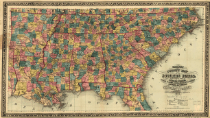
Railway and county map of the Southern States
$17.95 – $47.95
SKU: smal40
Related products
-

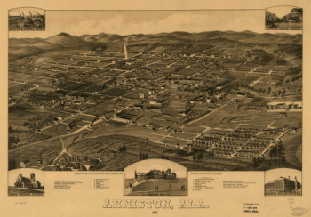
Anniston, Ala. 1887. Beck & Pauli Lith. Co.
$17.95 – $47.95 -
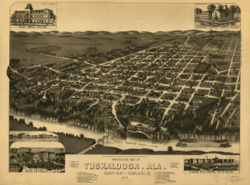
Perspective map of Tuskaloosa, Ala.
$17.95 – $47.95