Orchard Knob, 23d, Lookout Mountain, 24th, Missionary Ridge, 25th. Norwood, Charles W. CREATED/PUBLISHED Chattanooga, c1898. NOTES Scale ca. 1:63,360. The Chattanooga map is divided 'into half-mile sections, numbered 1 to 19 on the west and east sides, and lettered A to L on the north and south.' The map includes positions of 'troops only in their critical situations,' relief by hachures, drainage, railroads, and the outline of the streets of Chattanooga.
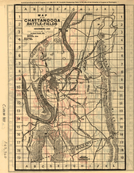
Chattanooga battle-fields, November, 1863
$17.95 – $47.95
SKU: smga65
Related products
-

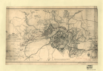
Map illustrating the siege of Atlanta, Ga.
$17.95 – $47.95 -
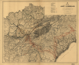
Army of the Cumberland campaigns during the War of the Rebellion
$17.95 – $47.95 -
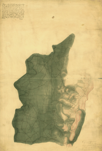
Map of the Confederate States of America. [1861-65]
$17.95 – $47.95
![Map of the Confederate States of America. [1861-65]](https://www.ushistoricalarchive.com/wp-content/uploads/nc/data/products/im/sm/ga/b75-350x492.gif)