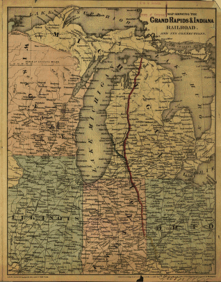
G.W. & C.B. Colton & Co. CREATED/PUBLISHED New York, 1871. NOTES Scale ca. 1:4,000,000. SUMMARY Advertising map covering Michigan and vicinity. Shows drainage, cities and towns, railroad land grant, and the railroad network emphasizing the main line. Information on bond sale by Winslow, Lanier & Co., N.Y., on the verso. Under construction by Continental Improvement Company, George W. Cass, President.


