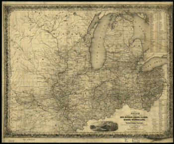
G.W. & C.B. Colton & Co. CREATED/PUBLISHED New York, 1883. NOTES Scale ca. 1:750,000. Map of Ohio showing drainage, township and county boundaries, cities and towns, railroads, and a table of population for the 1880 census.

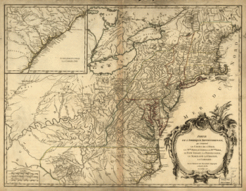
Map showing the route and connections of the Bellaire, Zanesville and Cincinnati Railway.
$17.95 – $47.95
SKU: smoh44
Related products
-

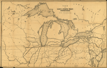
View of the lake & north west-connections with Philadelphia.
$17.95 – $47.95 -
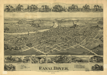
Canal Dover, Tuscarawas County, Ohio 1899. Drawn by A. E. Downs.
$17.95 – $47.95