CREATED/PUBLISHED [1899?] NOTES 'Contour interval 1000 feet.' Pen-and-ink on base map: Map of Texas and parts of adjoining territories / compiled by and under the direction of Robert T. Hill ; drawn by Henry S. Selden and Willard D. Johnson, 1899 ; Andrew B. Graham Co., photo-lithographers, Washington, D.C.
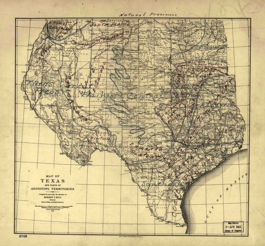
Natural provinces : Texas
$17.95 – $47.95
SKU: smtx6
Related products
-

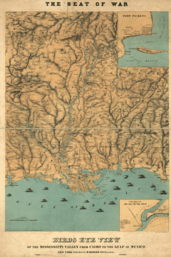
Birds eye view of the Mississippi Valley
$17.95 – $47.95 -
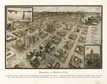
Houston – A modern city
$17.95 – $47.95 -
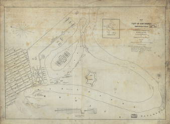
Map of the post of Fort Brown, Brownsville, Texas
$17.95 – $47.95