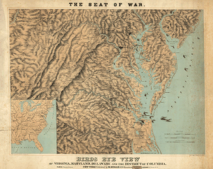
Magnus, Charles. CREATED/PUBLISHED New York, Chs. Magnus, [1861?] NOTES Scale ca. 1:270,000. Reference: LC Civil War Maps (2nd ed.), 451 Indicates Union and Confederate positions at 'battle of Bull Run, July 21st 1861,' Union encampments, towns, roads, the street pattern of Washington, railroads, rivers, and relief by hachures. Inset: Leesburg to Harpers Ferry. 'Panoramic view of the fortifications around Washington' appears above the map.

Topographical map of Virginia between Washington and Manassas Junction.
$17.95 – $47.95
SKU: smdc38
Related products
-

Topography of the federal city, 1791 : Washington D.C.
$17.95 – $47.95 -
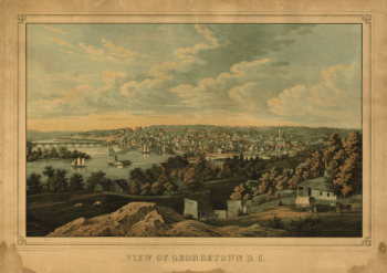
Georgetown D.C.
$17.95 – $47.95