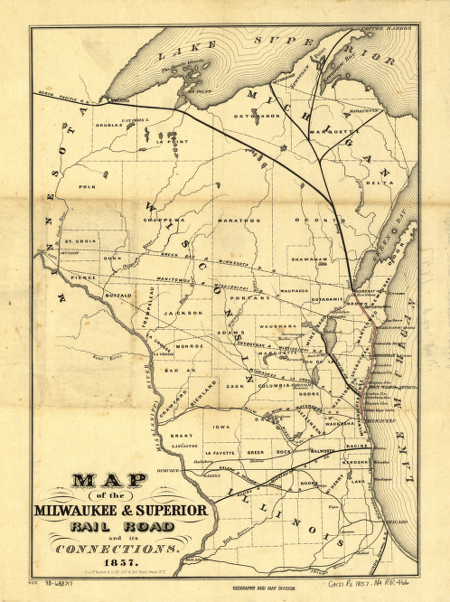
Map of the Milwaukee & Superior Rail Road and its connections. Map of Wisconsin and parts of Illinois and Michigan showing drainage, county boundaries, larger cities, and the railroad network. The main line is in red, and the Milwaukee and Chicago Railroad is in blue. Nesbitt (Geo. F.) & Company. CREATED/PUBLISHED New York, 1857. Scale ca. 1:1,625,000.


