The state of Texas, Reclamation Department ; topographic surveying, leveling, and mapping by Dixon B. Penick … [et al.] ; primary traverse by R.G. Tyler, J.P. Murray, and J.B. Upchurch. Texas. Reclamation Dept. OTHER TITLES Title at bottom: Trinity River, Fort Worth sheet CREATED/PUBLISHED Austin : Engraved and printed by the U.S. Geological Survey, 1915. NOTES Does not cover all of Tarrant County. Relief shown by contours. Depths shown by soundings. Selected buildings shown pictorially. Shows boundary lines and points of interest in Trinity River region. In upper left margin: Arthur Alvord Stiles, state reclamation engineer.
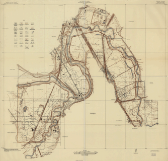
Tarrant County, Trinity River, Fort Worth sheet
$17.95 – $47.95
SKU: smtx13
Related products
-

Southern states
$17.95 – $47.95 -
A new map of Texas, Oregon and California.
$17.95 – $47.95