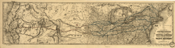
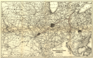
Louis Railroad Company. Maps showing the Toledo, Cincinnati, & St. Louis Railroad and its connections, 1881. Midwestern states showing drainage, cities and towns, township and county boundaries, coal in Illinois, Indiana, and Ohio. Includes the railroad system with emphasis on the main line. G.W. & C.B. Colton & Co. CREATED/PUBLISHED New York, 1881. Scale 1:1,267,200.
Toledo, Cincinnati, and St
$17.95 – $47.95
SKU: rrsz38
Related products
-

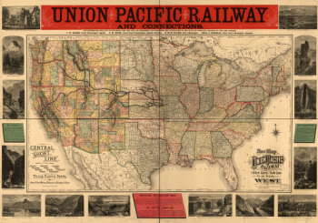
Union Pacific Railroad Company
$17.95 – $47.95 -
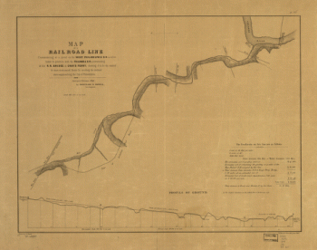
West Philadelphia Rail Road Company
$17.95 – $47.95 -
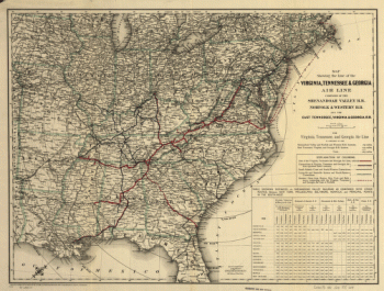
Virginia, Tennessee, and Georgia Air Line Railroad
$17.95 – $47.95 -
Union Pacific Railway Company
$17.95 – $47.95