Fort Constitution [view]
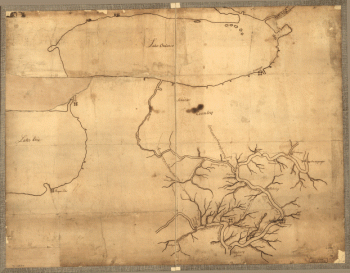
![[Zehn Karten und Ansichten den Schlachtfelden des amerikanischen Unabhangigkeitskreiges in den Staaten Pennsylvanien und New York]](https://www.ushistoricalarchive.com/wp-content/uploads/nc/data/products/im/rw/south/b51.gif)
[Zehn Karten und Ansichten den Schlachtfelden des amerikanischen Unabhangigkeitskreiges in den Staaten Pennsylvanien und New York]
$17.95 – $47.95
SKU: rwso51
Related products
-

Plan of part of western front
$17.95 – $47.95
![[Zehn Karten und Ansichten den Schlachtfelden des amerikanischen Unabhangigkeitskreiges in den Staaten Pennsylvanien und New York]](https://www.ushistoricalarchive.com/wp-content/uploads/nc/data/products/im/rw/south/b44-350x243.gif)
![British camp at Trudruffrin from [sic] with the attack made by Major General Grey against the rebels near White Horse Tavern](https://www.ushistoricalarchive.com/wp-content/uploads/nc/data/products/im/rw/south/b41.gif)