American Indian Photos
-

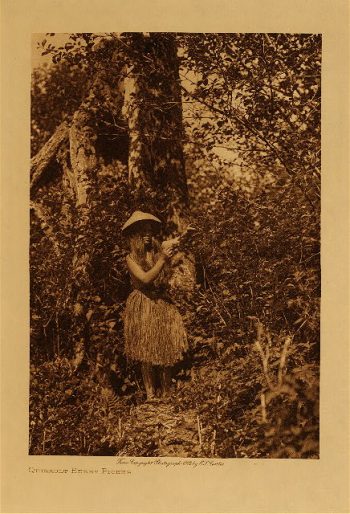
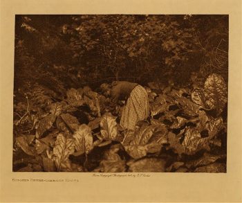
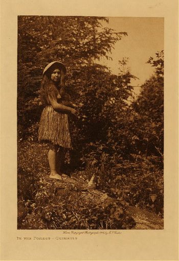
Quinault berry picker 1912
$17.95 -
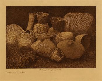
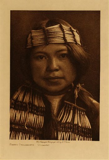
Quinault handiwork 1912
$17.95 -
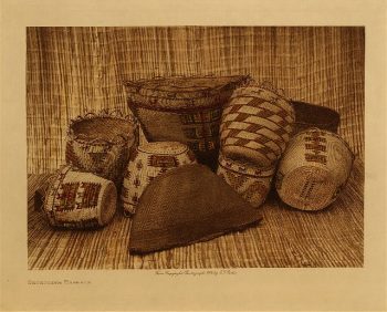
Skokomish baskets 1912
$17.95 -
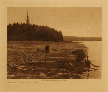
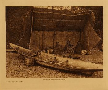
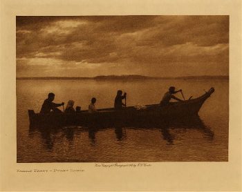
Puget Sound camp 1912
$17.95 -
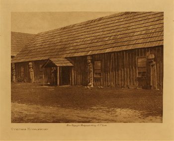
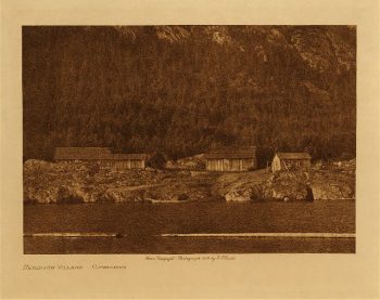
Cowichan housefront 1912
$17.95 -
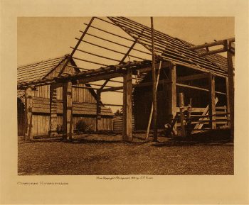
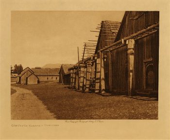
Cowichan houseframe 1912
$17.95 -
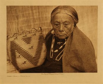
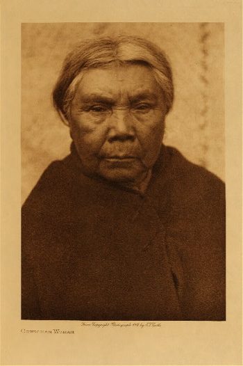
Cowichan woman 1912
$17.95 -
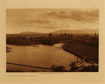
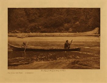
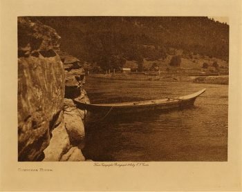
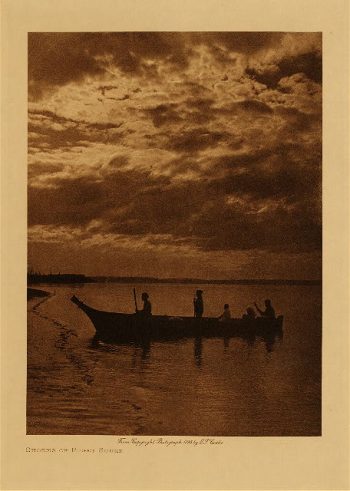
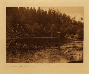
Cowichan River 1912
$17.95 -
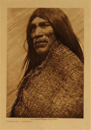
Yalqablu (Skokomish) 1912
$17.95 -
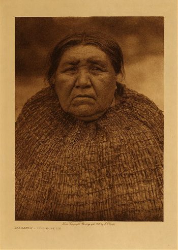
Bahlkabuh (Skokomish) 1912
$17.95 -
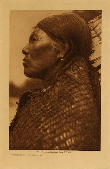
Kalasetsah (Skokomish) 1912
$17.95 -
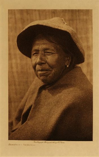
Lahkeudup (Skokomish) 1912
$17.95 -
Shoalwater Bay profile 1912
$17.95 -
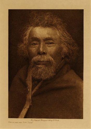
Shoalwater Bay type 1912
$17.95 -
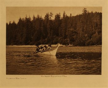
Quinault war canoe 1912
$17.95 -
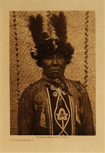
Cowichan warrior 1912
$17.95 -
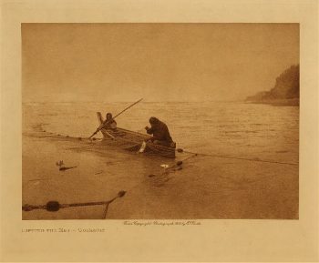
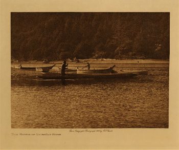
On Skokomish River 1912
$17.95 -
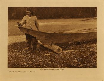
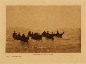
On Shoalwater Bay 1912
$17.95 -
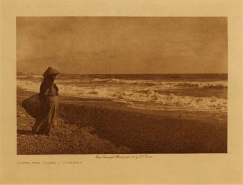
Shores of Puget Sound 1898
$17.95 -
Map of Chinookan territory
$17.95 -
Caches at Celilo 1909
$17.95 -
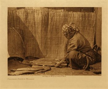
Wishham handicraft 1909
$17.95 -
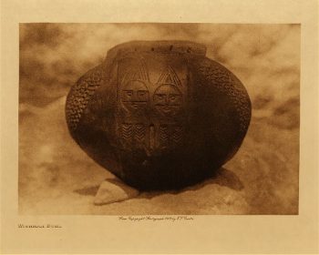
Wishham bowl 1909
$17.95 -
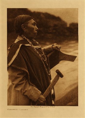
Kamagwaih (Cascade) 1910
$17.95 -
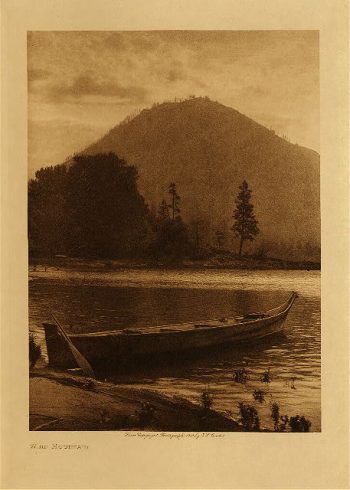
Wind Mountain 1910
$17.95 -
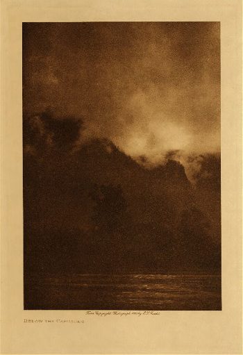
Below the cascades 1910
$17.95