Virginia
-

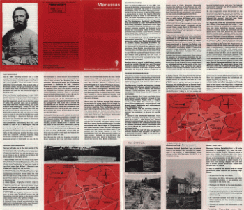
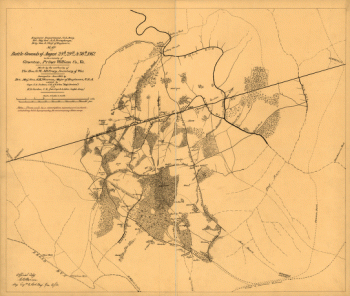
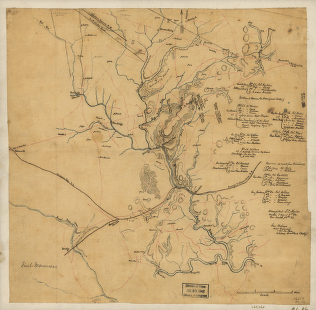
First Manassas
$17.95 – $47.95 -
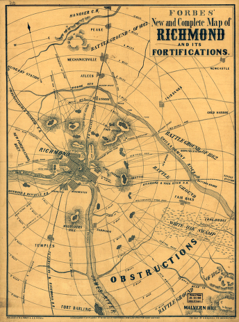
Forbes' new and complete map of Richmond and its fortifications
$17.95 – $47.95 -
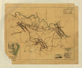
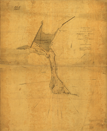
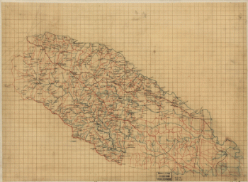
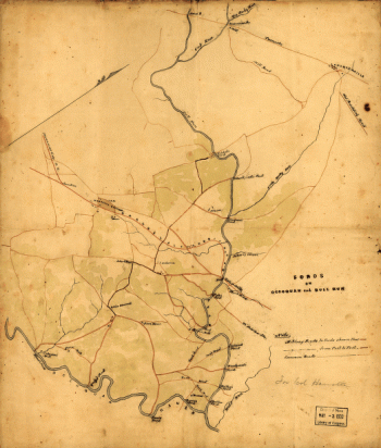
Fords on Occoquan and Bull Run
$17.95 – $47.95 -
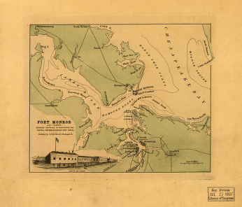
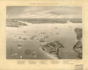
Fort Monroe and vicinity
$17.95 – $47.95 -
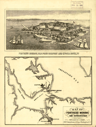
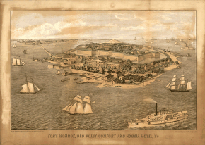
Fort Monroe, Old Point Comfort and Hygeia Hotel
$17.95 – $47.95 -
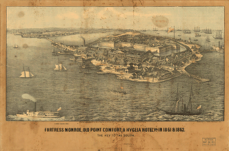
Fortress Monroe, Va. and its vicinity
$17.95 – $47.95 -
Frederick County from from Wood's map
$17.95 – $47.95 -
Fredericksburg
$17.95 – $47.95 -
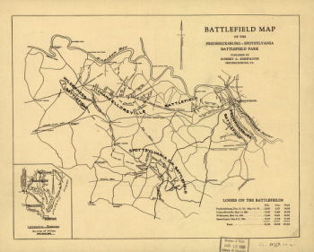
Fredericksburg and Spotsylvania National Military Park
$17.95 – $47.95 -
Fredericksburg in Dec. 1862
$17.95 – $47.95 -
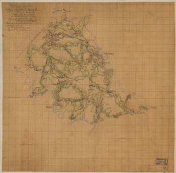
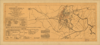
General map of the battle-field of Manassas
$17.95 – $47.95 -
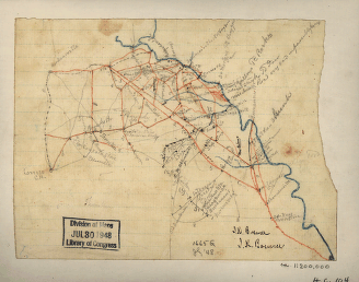
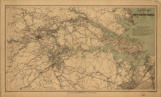
Grant's and Sheridan's campaigns, 1864 and 1865
$17.95 – $47.95 -
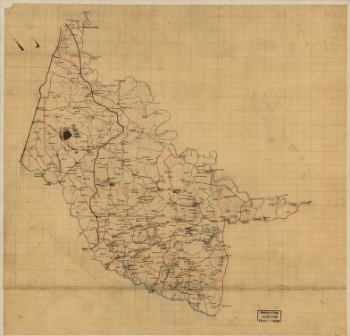
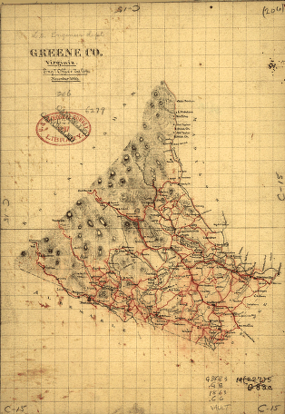
Greene County, Virginia
$17.95 – $47.95 -
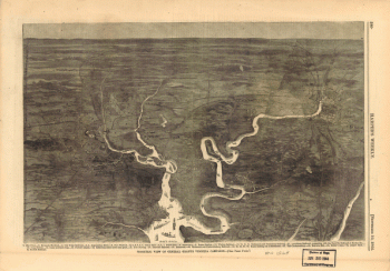
High Bridge and Farmville. [1865]
$17.95 – $47.95 -
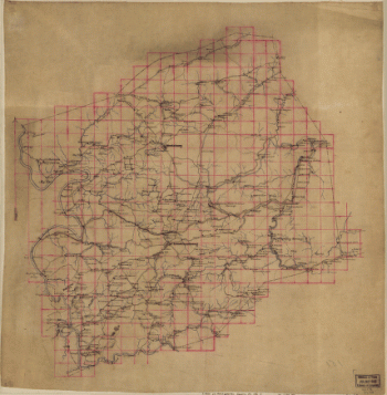
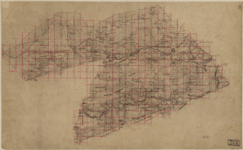
Index sheet of battlefield maps
$17.95 – $47.95 -
Isometric view of General Grant's Virginia campaign
$17.95 – $47.95 -
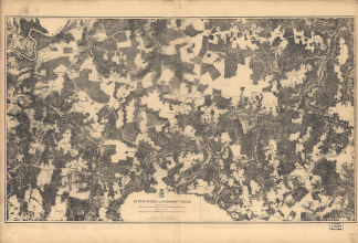
Jetersville and Sailors Creek
$17.95 – $47.95 -
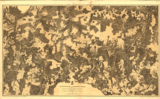
Jetersville and Sailors Creek in 1865
$17.95 – $47.95 -
Jones Point, Potomac River, near Alexandria, Virginia
$17.95 – $47.95 -
King William County, Va.
$17.95 – $47.95 -
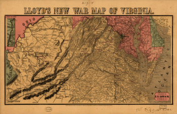
Lloyd's new war map of Virginia
$17.95 – $47.95 -
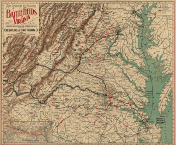
Locations of battle fields of Virginia
$17.95 – $47.95 -
Louisa County and part of Hanover County, Va.
$17.95 – $47.95 -
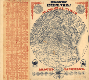
Magnus' historical war map
$17.95 – $47.95 -
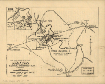
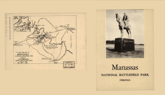
Manassas National Battlefield Park
$17.95 – $47.95 -
Manassas National Battlefield Park
$17.95 – $47.95 -
Manassas National Battlefield Park, Virginia
$17.95 – $47.95 -
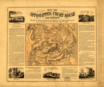
Map of Appomattox Court House and vicinity
$17.95 – $47.95 -
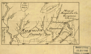
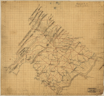
Map of Augusta Co., Virginia, 1738-1770
$17.95 – $47.95 -
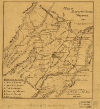
Map of Augusta County, Virginia in 1886
$17.95 – $47.95 -
Map of battle-field of Manassas, Va.
$17.95 – $47.95 -
Map of Fortress Monroe and surroundings
$17.95 – $47.95 -
Map of Hanover County, Va.
$17.95 – $47.95 -
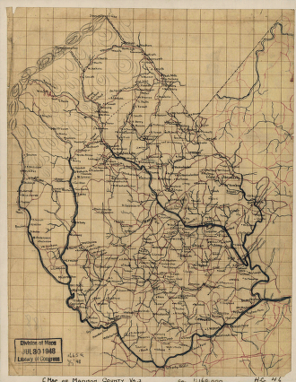
Map of Madison County, Va.
$17.95 – $47.95 -
Map of Manassas battle-grounds
$17.95 – $47.95 -
Map of Montgomery County
$17.95 – $47.95 -
Map of Montgomery County, Va.
$17.95 – $47.95 -
Map of part of Wythe County, Va
$17.95 – $47.95 -
Map of parts of Orange, Louisa, and Spotsylvania counties
$17.95 – $47.95 -
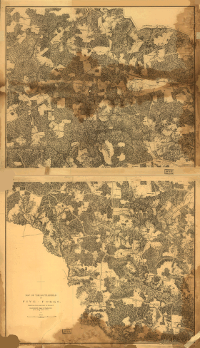
Map of the battlefield of Five-Forks
$17.95 – $47.95 -
Map of the Fredericksburg-Spotsylvania Battlefield Park
$17.95 – $47.95 -
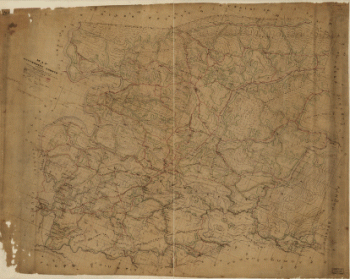
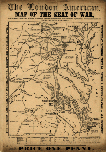
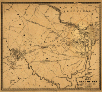
Map of the seat of war
$17.95 – $47.95 -
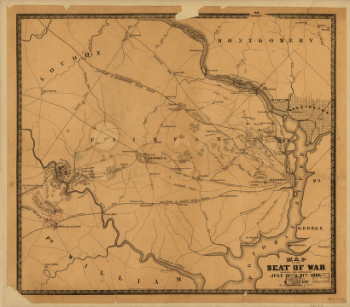
Map of the seat of war
$17.95 – $47.95 -
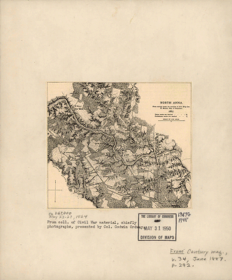
Map of the seat of war
$17.95 – $47.95 -
Michler, N. (Nathaniel), 1827-1881
$17.95 – $47.95 -
Military map of south-eastern Virginia
$17.95 – $47.95 -
Military map of south-eastern Virginia
$17.95 – $47.95

![High Bridge and Farmville. [1865]](https://www.ushistoricalarchive.com/wp-content/uploads/nc/data/products/im/cw/va1/b57.gif)