Virginia
-

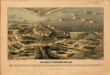
The siege of Yorktown, April 1862
$17.95 – $47.95 -
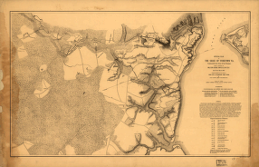
Official plan of the siege of Yorktown, Va
$17.95 – $47.95 -
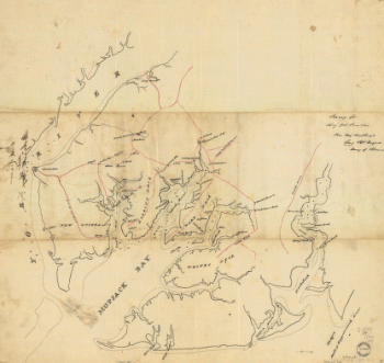
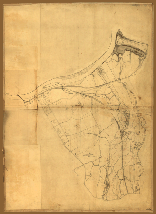
York River and Mobjack Bay, Va
$17.95 – $47.95 -
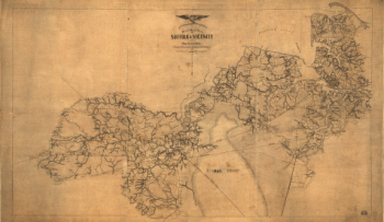
Military map of Suffolk & vicinity
$17.95 – $47.95 -
Stafford County
$17.95 – $47.95 -
Battlefields of Virginia
$17.95 – $47.95 -
Spotsylvania County
$17.95 – $47.95 -
Spotsylvania and Caroline Counties
$17.95 – $47.95 -
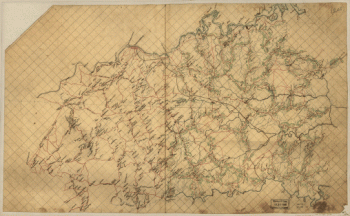
Rockbridge County
$17.95 – $47.95 -
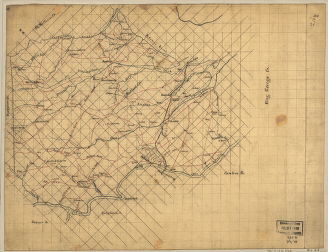
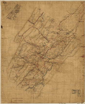
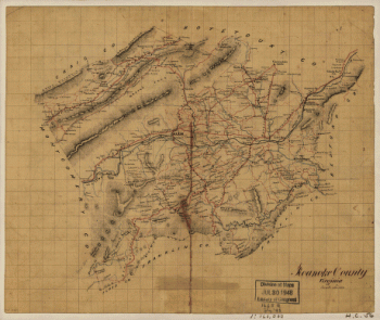
Roanoke County, Virginia
$17.95 – $47.95 -
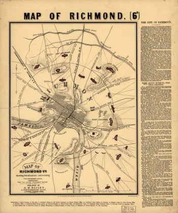
Richmond [1862-1865]
$17.95 – $47.95 -
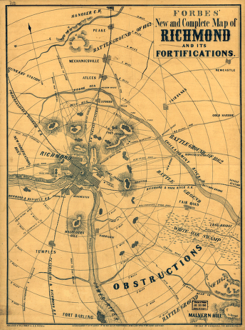
Forbes' new and complete map of Richmond and its fortifications
$17.95 – $47.95 -
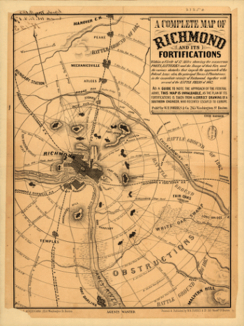
Richmond and its fortifications
$17.95 – $47.95 -
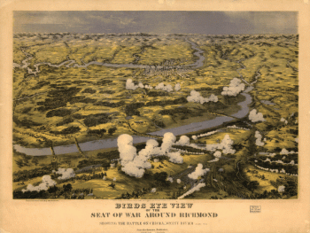
Birds eye view of the seat of war around Richmond
$17.95 – $47.95 -
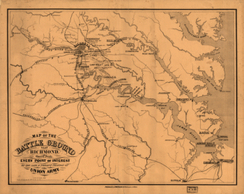
Battle ground near Richmond
$17.95 – $47.95 -
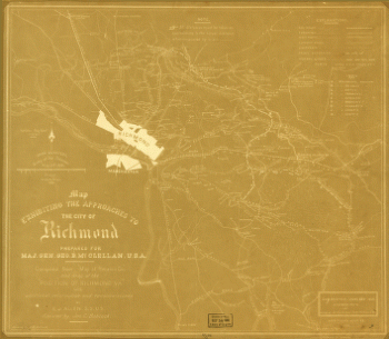
The approaches to the city of Richmond
$17.95 – $47.95 -
Richmond, Va
$17.95 – $47.95 -
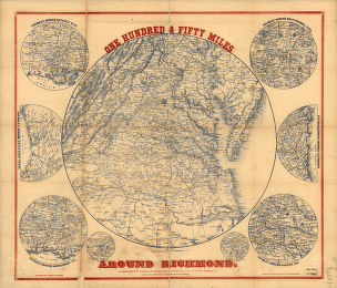
One hundred & fifty miles around Richmond – Map 1
$17.95 – $47.95 -
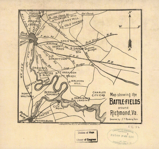
The battle-fields around Richmond, Va
$17.95 – $47.95 -
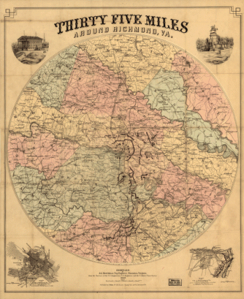
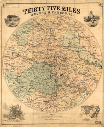
Thirty five miles around Richmond, Va – Map 2
$17.95 – $47.95 -
Thirty five miles around Richmond, Va – Map 1
$17.95 – $47.95 -
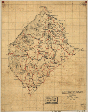
Rappahannock River from Port Royal to Richards Ferry
$17.95 – $47.95 -
Rappahannock County
$17.95 – $47.95 -
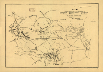
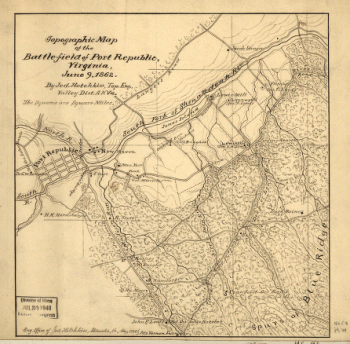
Topographic map of the battle-field of Port Republic
$17.95 – $47.95 -
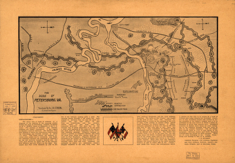
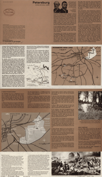
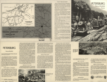
The seige of Petersburg, Va.
$17.95 – $47.95 -
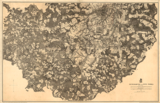
Petersburg and Five Forks in 1864-1865
$17.95 – $47.95 -
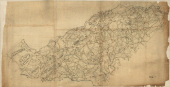
The defenses of Petersburg, Virginia
$17.95 – $47.95 -
Overlay to the map of the siege of Petersburg, 1864-5
$17.95 – $47.95 -
Petersburg, Va.
$17.95 – $47.95 -
The entrenched lines in the immediate front of Petersburg
$17.95 – $47.95 -
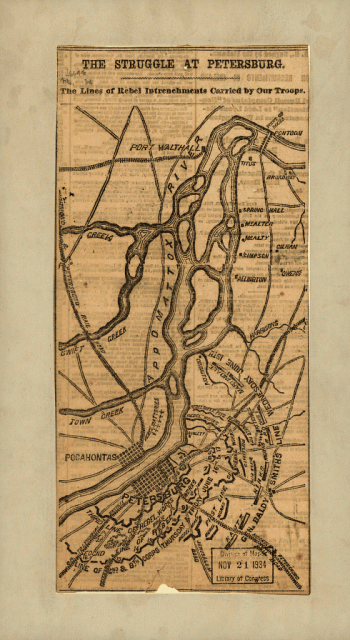
The struggle of Petersburg
$17.95 – $47.95 -
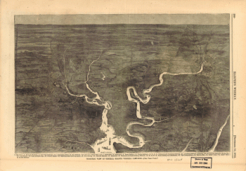
Isometric view of General Grant's Virginia campaign
$17.95 – $47.95 -
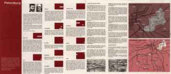
Petersburg National Battlefield
$17.95 – $47.95 -
Petersburg National Battlefield, Mar. 1967
$17.95 – $47.95 -
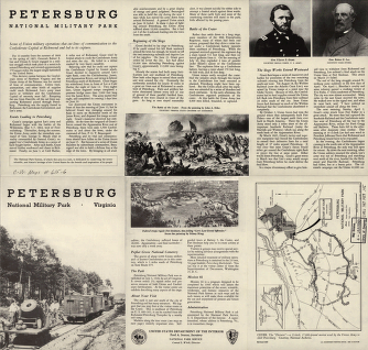
Petersburg National Military Park
$17.95 – $47.95 -
Petersburg National Military Park
$17.95 – $47.95 -
Orange County, Va.
$17.95 – $47.95 -
Map of parts of Orange, Louisa, and Spotsylvania counties
$17.95 – $47.95 -
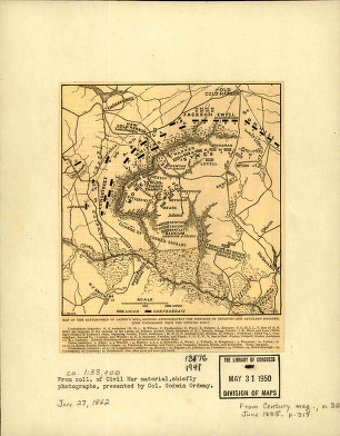
Battle-field of Gaines's Mill
$17.95 – $47.95 -
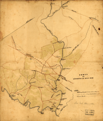
Fords on Occoquan and Bull Run
$17.95 – $47.95 -
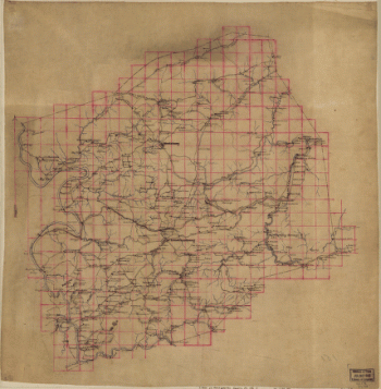
Michler, N. (Nathaniel), 1827-1881
$17.95 – $47.95 -
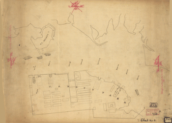
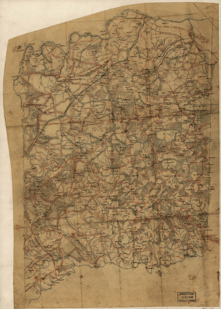
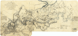
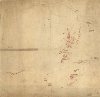
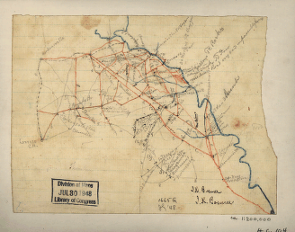
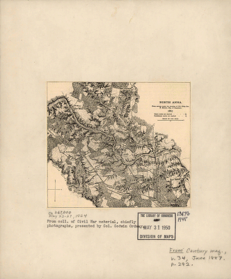
North Anna. [May 1864]
$17.95 – $47.95 -
Vessels destroyed at Norfolk 1861
$17.95 – $47.95 -
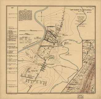
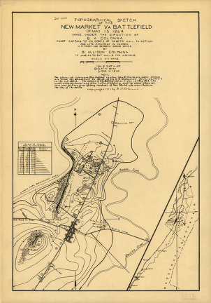
New Market, Va., battlefield May 15, 1864
$17.95 – $47.95 -
Map of Montgomery County, Va.
$17.95 – $47.95 -
Map of Montgomery County
$17.95 – $47.95
![Richmond [1862-1865]](https://www.ushistoricalarchive.com/wp-content/uploads/nc/data/products/im/cw/va3/b10.gif)
![North Anna. [May 1864]](https://www.ushistoricalarchive.com/wp-content/uploads/nc/data/products/im/cw/va2/b63-350x279.gif)