Virginia
-

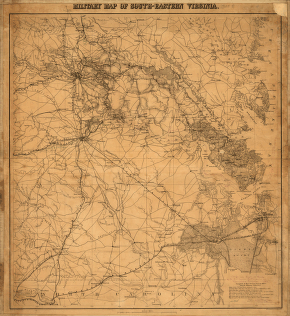
Military map of south-eastern Virginia
$17.95 – $47.95 -
Military map of Suffolk & vicinity
$17.95 – $47.95 -
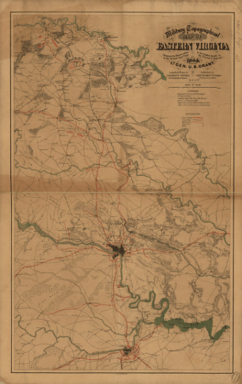
Military topographical map of eastern Virginia
$17.95 – $47.95 -
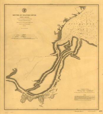
Mouths of Roanoke River, North Carolina
$17.95 – $47.95 -
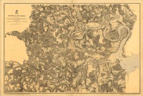
muda Hundred
$17.95 – $47.95 -
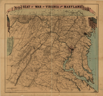
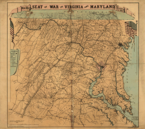
New map of the seat of war in Virginia and Maryland
$17.95 – $47.95 -
New map of the seat of war in Virginia and Maryland
$17.95 – $47.95 -
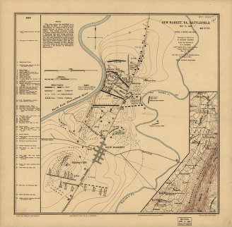
New Market, Va., battlefield May 15, 1864
$17.95 – $47.95 -
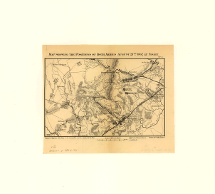
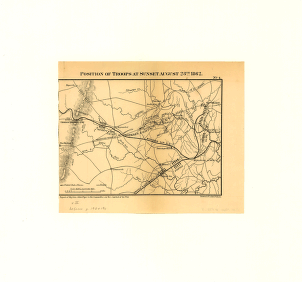
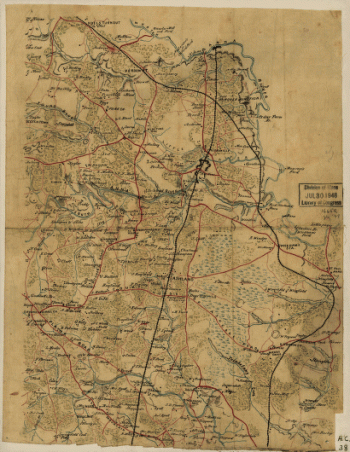
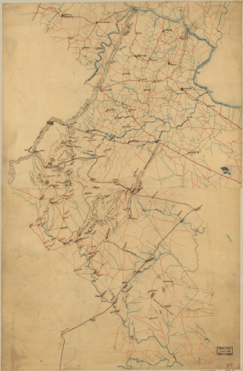
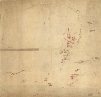
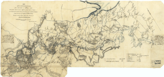
North Anna. [May 1864]
$17.95 – $47.95 -
North eastern Virginia and vicinity of Washington
$17.95 – $47.95 -
Northern portion of Hanover County
$17.95 – $47.95 -
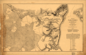
Official plan of the siege of Yorktown, Va
$17.95 – $47.95 -
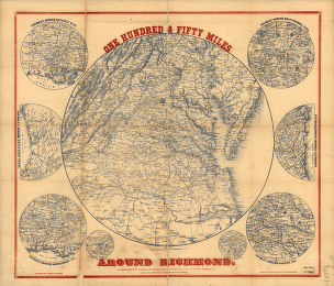
One hundred & fifty miles around Richmond – Map 1
$17.95 – $47.95 -
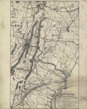
Orange County, Va.
$17.95 – $47.95 -
Overlay to the map of the siege of Petersburg, 1864-5
$17.95 – $47.95 -
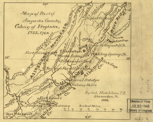
Part of Augusta County, Colony of Virginia
$17.95 – $47.95 -
Parts of Caroline, Hanover, and Henrico counties
$17.95 – $47.95 -
Parts of Fauquier, Prince William, and Rappahannock counties
$17.95 – $47.95 -
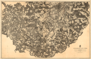
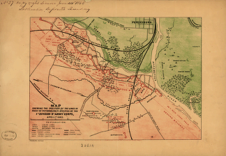
Petersburg and Five Forks in 1864-1865
$17.95 – $47.95 -
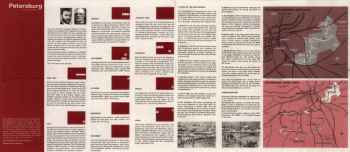
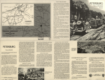
Petersburg National Battlefield
$17.95 – $47.95 -
Petersburg National Battlefield, Mar. 1967
$17.95 – $47.95 -
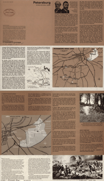
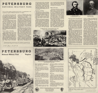
Petersburg National Military Park
$17.95 – $47.95 -
Petersburg National Military Park
$17.95 – $47.95 -
Petersburg, Va.
$17.95 – $47.95 -
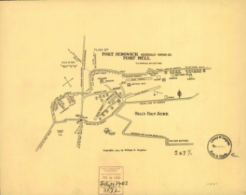
Plan of Fort Sedgwick generally known as Fort Hell
$17.95 – $47.95 -
Plan of the battle of Mechanicsville – June 26, 1862
$17.95 – $47.95 -
Plan of the Bull Run battle-field
$17.95 – $47.95 -
Rappahannock County
$17.95 – $47.95 -
Rappahannock River from Port Royal to Richards Ferry
$17.95 – $47.95 -
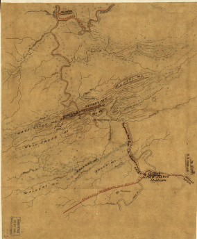
Reconnaissance in advance of Camp Mansfield
$17.95 – $47.95 -
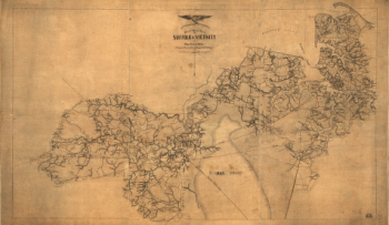
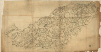
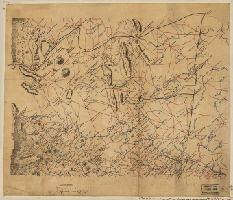
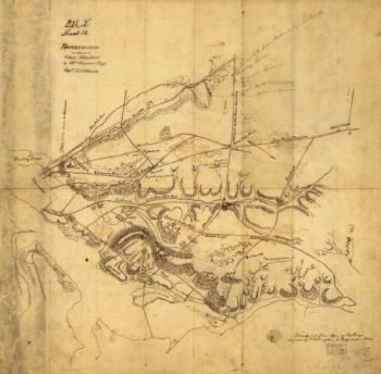
Richmond [1862-1865]
$17.95 – $47.95 -
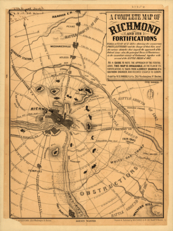
Richmond and its fortifications
$17.95 – $47.95 -
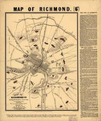
Richmond, Va
$17.95 – $47.95 -
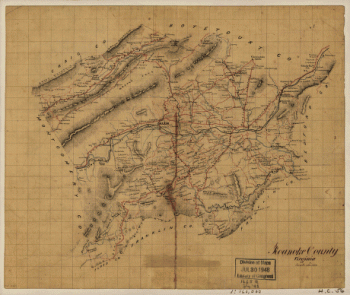
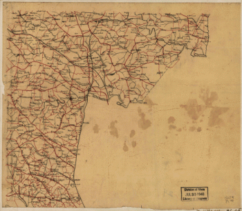
Roanoke County, Virginia
$17.95 – $47.95 -
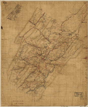
Rockbridge County
$17.95 – $47.95 -
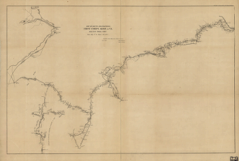
Route and positions, First Corps, Army of Va.
$17.95 – $47.95 -
Route of the New River R.R.
$17.95 – $47.95 -
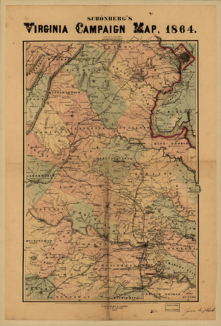
Schonberg's Virginia campaign map, 1864
$17.95 – $47.95 -
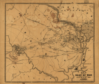
Seat of War
$17.95 – $47.95 -
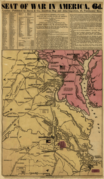
Seat of war in America, 6d
$17.95 – $47.95 -
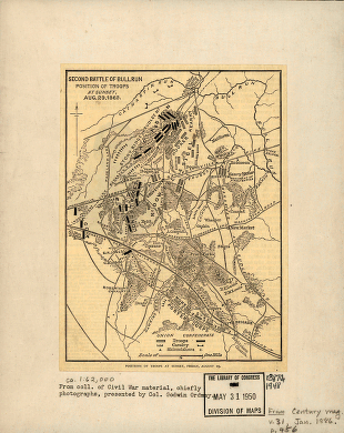
Second battle of Bull Run
$17.95 – $47.95 -
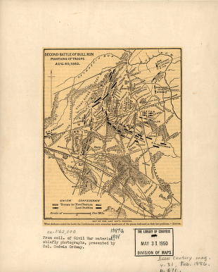
Second battle of Bull Run
$17.95 – $47.95 -
Second Manassas battle
$17.95 – $47.95 -
Second Manassas battle
$17.95 – $47.95
![North Anna. [May 1864]](https://www.ushistoricalarchive.com/wp-content/uploads/nc/data/products/im/cw/va2/b63-350x279.gif)
![Richmond [1862-1865]](https://www.ushistoricalarchive.com/wp-content/uploads/nc/data/products/im/cw/va3/b10.gif)