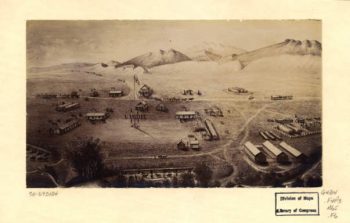
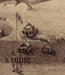
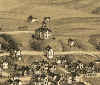
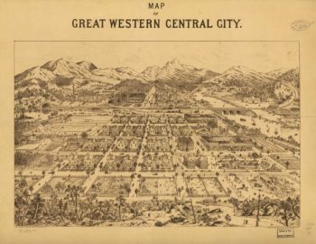
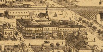
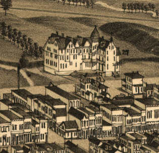
Panoramic Maps
The panoramic map was a popular cartographic form used to depict U.S. and Canadian cities and towns during the late nineteenth and early twentieth centuries (1847 to 1929.) Known also as bird’s-eye views, perspective maps, and aero views, panoramic maps are nonphotographic representations of cities portrayed as if viewed from above at an oblique angle. Although not generally drawn to scale, they show street patterns, individual buildings, and… Read more
-


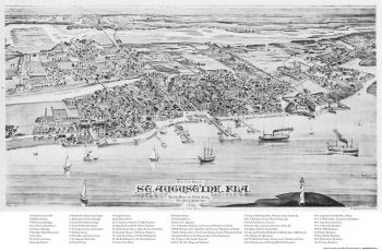
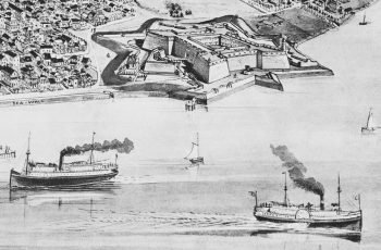
St. Augustine, 1885
$17.95 – $47.95 -
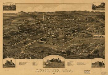
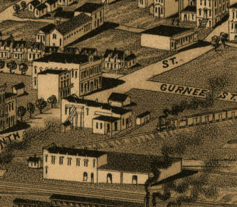
Anniston AL in 1887
$17.95 – $47.95 -
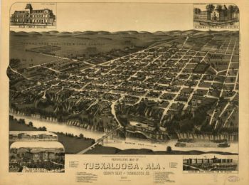
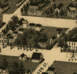
Tuscaloosa AL in 1887
$17.95 – $47.95 -
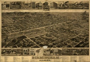
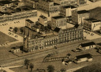
Birmingham AL in 1885
$17.95 – $47.95 -
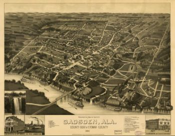
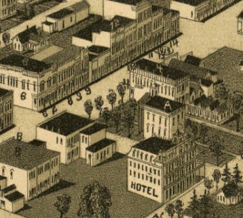
Gadsden AL in 1887
$17.95 – $47.95 -
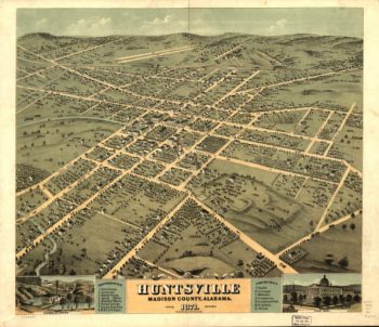
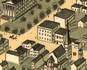
Huntsville AL in 1871
$17.95 – $47.95 -
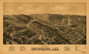
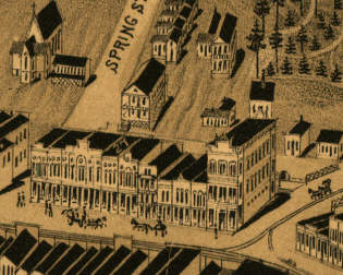
Hot Springs AR in 1888
$17.95 – $47.95 -
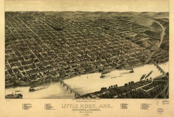
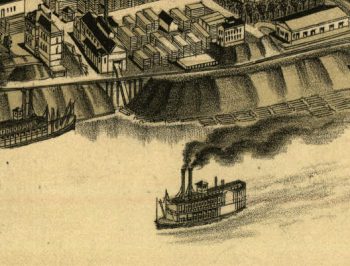
Little Rock AR in 1887
$17.95 – $47.95 -
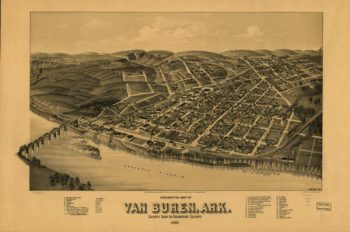
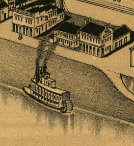
Van Buren AR in 1888
$17.95 – $47.95 -
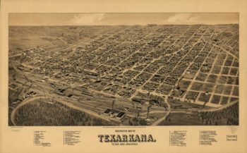
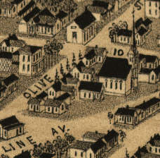
Texarkana AR in 1888
$17.95 – $47.95 -
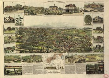
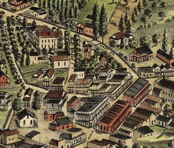
Auburn CA in 1887
$17.95 – $47.95 -
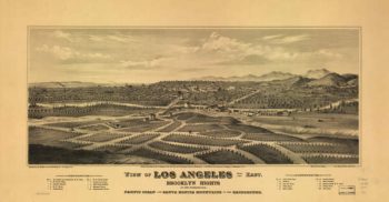
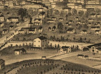
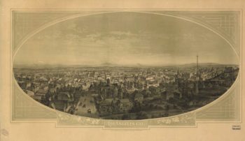
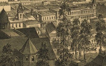
Los Angeles CA in 1877
$17.95 – $47.95 -
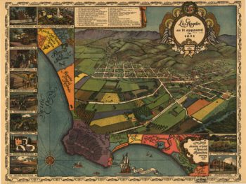
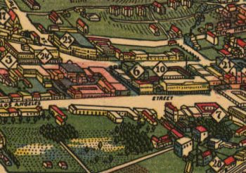
Los Angeles CA in 1888
$17.95 – $47.95 -
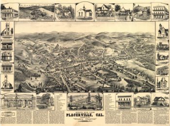
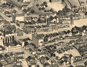
Placerville CA in 1888
$17.95 – $47.95 -
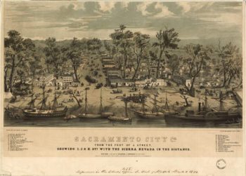
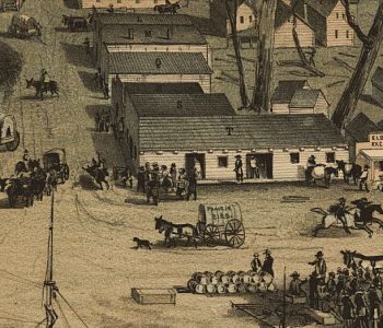
Sacramento CA in 1850
$17.95 – $47.95 -
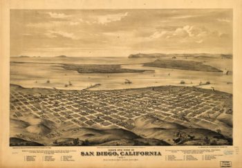
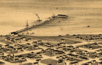
San Diego CA in 1876
$17.95 – $47.95 -
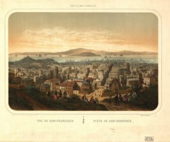
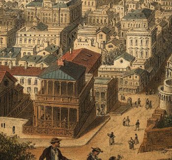
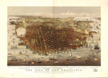
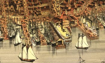
San Francisco CA in 1878
$17.95 – $47.95 -
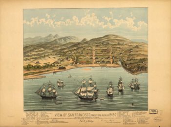
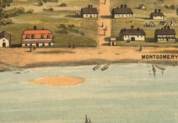
San Francisco CA Color 1846
$17.95 – $47.95 -
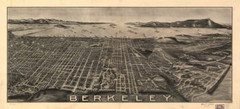
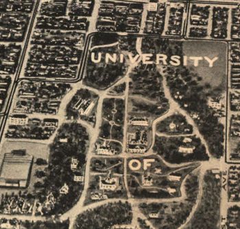
Berkeley CA in 1909
$17.95 – $47.95 -
San Francisco CA in 1860
$17.95 – $47.95 -
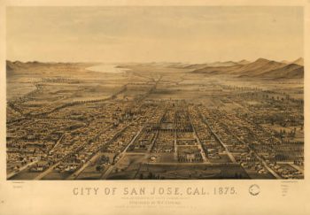
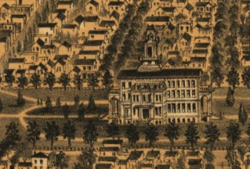
San Jose CA in 1875
$17.95 – $47.95 -
San Pedro CA in 1905
$17.95 – $47.95 -
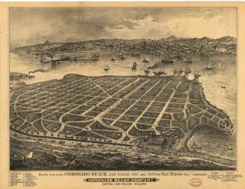
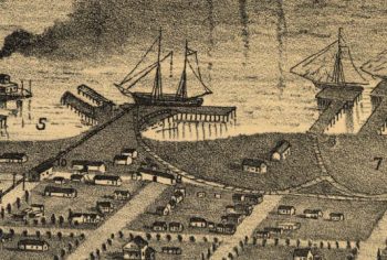
Coronado CA in 1880's
$17.95 – $47.95 -
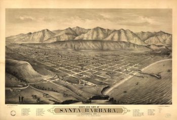
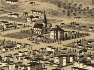
Santa Barbara CA in 1877
$17.95 – $47.95 -
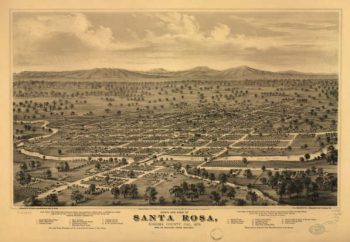
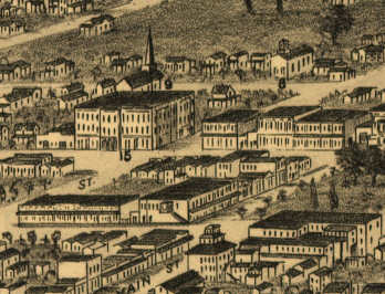
Santa Rosa CA in 1876
$17.95 – $47.95 -
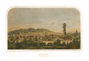
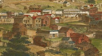
Shasta CA in 1856
$17.95 – $47.95 -
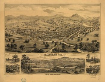
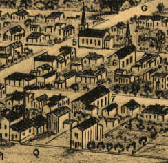
Healdsburg CA in 1876
$17.95 – $47.95 -
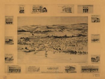
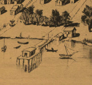
Lakeport CA in 1888
$17.95 – $47.95 -
Los Angeles CA Color 1871
$17.95 – $47.95 -
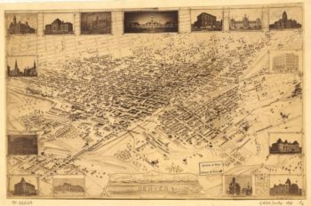
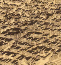
Denver CO in 1881
$17.95 – $47.95 -
Fort Collins CO in 1865
$17.95 – $47.95 -
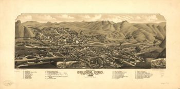
Golden CO in 1882
$17.95 – $47.95 -
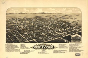
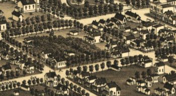
Greeley CO in 1882
$17.95 – $47.95 -
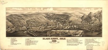
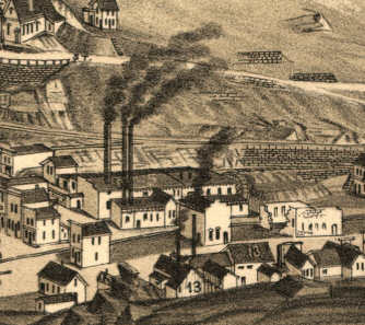
Black Hawk CO in 1882
$17.95 – $47.95 -
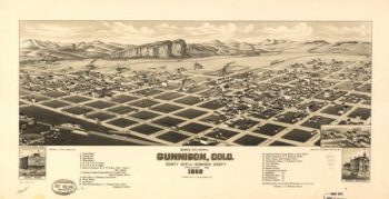
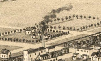
Gunnison CO in 1882
$17.95 – $47.95 -
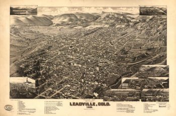
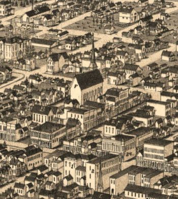
Leadville CO in 1882
$17.95 – $47.95 -
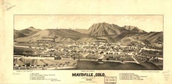
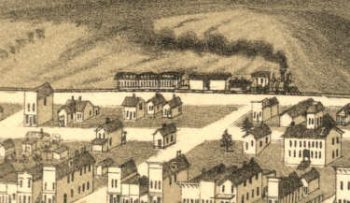
Maysville CO in 1882
$17.95 – $47.95 -
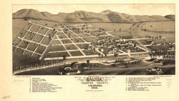
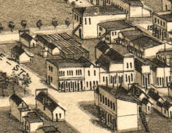
Salida CO in 1882
$17.95 – $47.95 -
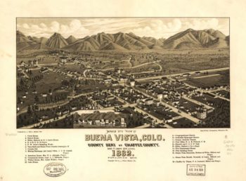
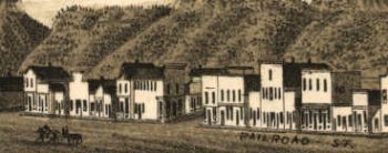
Buena Vista CO in 1882
$17.95 – $47.95 -
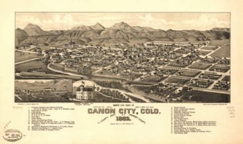
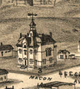
Canon City CO in 1882
$17.95 – $47.95 -
Central City CO in 1887
$17.95 – $47.95 -
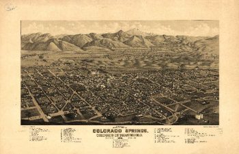
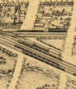
Colorado Springs CO in 1882
$17.95 – $47.95 -
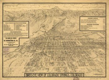
Colorado Spring CO in 1909
$17.95 – $47.95 -
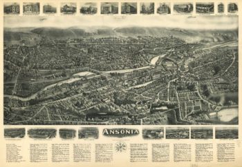
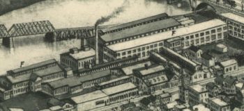
Ansonia CT in 1921
$17.95 – $47.95 -
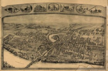
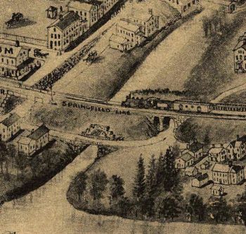
Enfield CT in 1908
$17.95 – $47.95 -
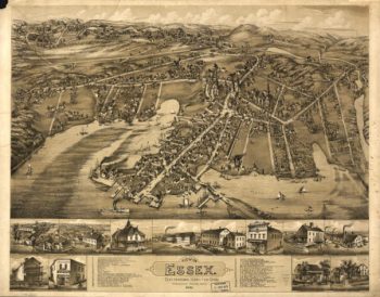
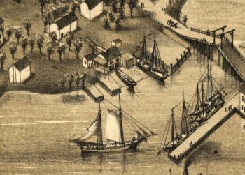
Essex CT in 1881
$17.95 – $47.95 -
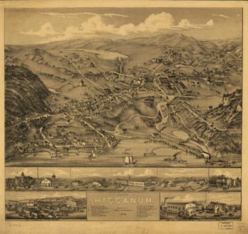
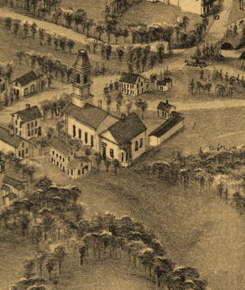
Higganum CT in 1881
$17.95 – $47.95 -
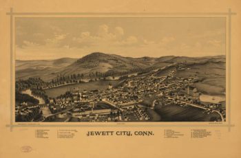
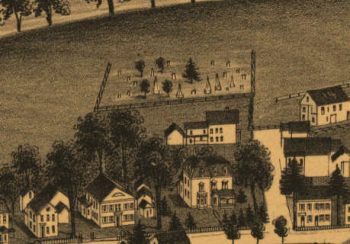
Jewett City CT in 1889
$17.95 – $47.95