Boston
-

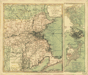
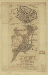
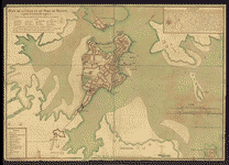
The Seat of war in New England
$17.95 – $47.95 -
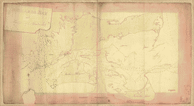
Roxbury to Concord
$17.95 – $47.95 -
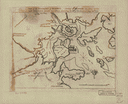
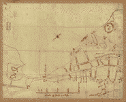
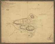
Rough draught of Boston and harbour
$17.95 – $47.95 -
Rough draft of Charlestown, in water colour
$17.95 – $47.95 -
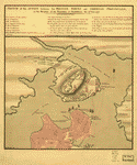
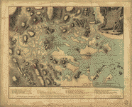
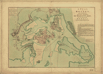
Plan of the town with the attack on Bunkers-Hill
$17.95 – $47.95 -
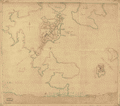
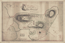
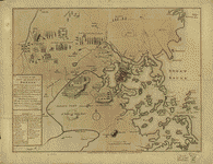
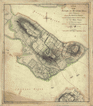
Plan of the peninsula of Charles Town
$17.95 – $47.95 -
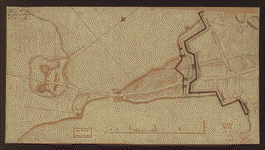
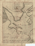
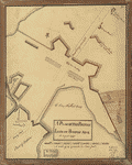
Plan of the Neck and environs
$17.95 – $47.95 -
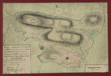
Plan of the heights of Charles Town
$17.95 – $47.95 -
Plan of the 'Neck' and fortifications
$17.95 – $47.95 -
Plan of Charles Town, with the intrenchments
$17.95 – $47.95 -
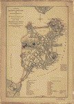
Plan of Boston & vicinity
$17.95 – $47.95 -
Plan de la ville et du port de Boston
$17.95 – $47.95 -
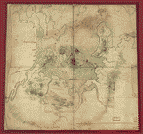
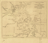
Map of the environs of Roxbury
$17.95 – $47.95 -
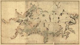
Map of the environs of Boston
$17.95 – $47.95 -
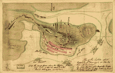
Major Genl Howe's encampment on Bunkers Hill
$17.95 – $47.95 -
Grundriss von der Stadt Boston und ihren Gegenden
$17.95 – $47.95 -
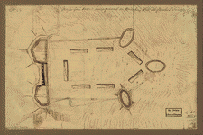
Fort on the first hill in Dorcester
$17.95 – $47.95 -
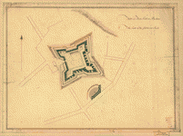
Fort on Fort Hill in Boston
$17.95 – $47.95 -
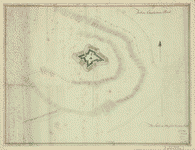
Fort on Dorcester Point
$17.95 – $47.95 -
Fort on Charlestown Point
$17.95 – $47.95 -
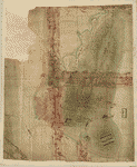
Exact plan of General Gage's lines on Boston Neck in America
$17.95 – $47.95 -
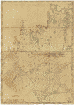
Chart of Buzzards Bay and Vineyard Sound
$17.95 – $47.95 -
Carte von dem Hafen und der Stadt Boston
$17.95 – $47.95 -
Carte du port et havre de Boston
$17.95 – $47.95 -
Buzzards Bay and shoals of Nantucket
$17.95 – $47.95 -
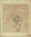
Bunker Hill–rough sketch
$17.95 – $47.95 -
Boston, S West part No 25
$17.95 – $47.95 -
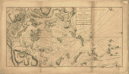
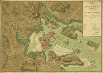
Boston, its environs and harbour
$17.95 – $47.95 -
Boston, its environs and harbour
$17.95 – $47.95 -
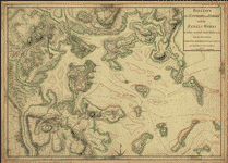
Boston Harbour, with the surroundings
$17.95 – $47.95 -
Battle of Bunker Hill
$17.95 – $47.95 -
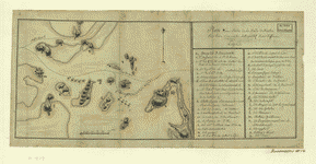
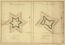
A Temporary project for a star readout to contain 150 men
$17.95 – $47.95 -
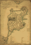
A plan of the town of Boston and its environs
$17.95 – $47.95 -
A plan of the town of Boston
$17.95 – $47.95 -
A plan of the town of Boston
$17.95 – $47.95 -
A plan of the town and harbour of Boston
$17.95 – $47.95 -
A plan of the town and chart of the harbour of Boston
$17.95 – $47.95 -
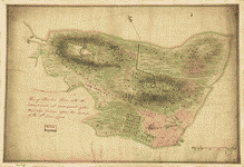
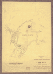
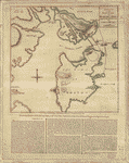
A plan of the harbour and peninsula of Cape Ann
$17.95 – $47.95 -
A Plan of the British lines on Boston Neck in August 1775
$17.95 – $47.95 -
A Plan of the battle, on Bunkers Hill
$17.95 – $47.95 -
A plan of the action at Bunkers-Hill, on the 17th of June, 1775
$17.95 – $47.95 -
A plan of Boston, and its environs
$17.95 – $47.95 -
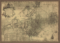
A plan of Boston in New England with its environs
$17.95 – $47.95 -
A new plan of ye great town of Boston
$17.95 – $47.95