Home
All Products
Historic Maps
American Indian Maps
Birds Eye View Maps
Civil War Maps
Panoramic Maps
Railroad Maps
Revolutionary War Maps
State Maps
Historic Prints
Civil War Prints
Civil War Posters
Historic Portraits
Presidential Portraits
Contact Us
0
0
Search Product or SKU
×
press
Enter
to search
Showing all results:
No products found.
South
Search
Search Product or SKU
×
Sort By
Default
Price: Low to High
Price: High to Low
Alphabetical
SKU
Categories
All
American Indian Maps
American Indian Photos
Birds Eye View Maps
CD Collections
Civil War Maps
Civil War Posters
Civil War Prints
Panoramic Maps
Photo-chromes
Presidential Portraits
Railroad Maps
Revolutionary War Maps
Boston
Canada
New England
New Jersey
New York
South
St. Augustine
State Maps
Showing
“South”
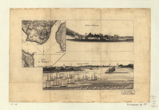
Plan d'Amboy Vues de la rade de Charles-Town et de Fort Sulivan, mai 1780
$
17.95
–
$
47.95
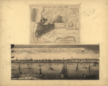
Plan of the city of New York , An exact prospect of Charlestown : the metropolis of the province of South Carolina
$
17.95
–
$
47.95
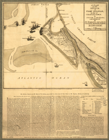
A Plan of the attack of Fort Sulivan, the key of Charlestown, in South Carolina, on the 28th of June 1776 By His Majesty's squadron, commanded by Sir Peter Parker By an officer on the spot
$
17.95
–
$
47.95
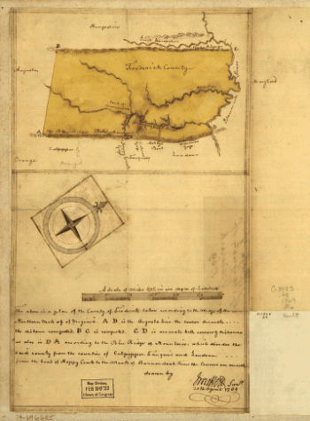
Map of the county of Frederick, 1769 Drawn by J Moffett
$
17.95
–
$
47.95
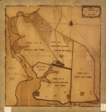
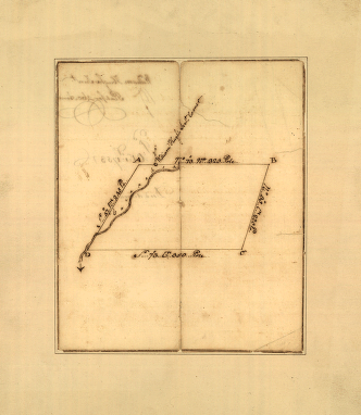
A plan of my farm on Little Huntg Creek & Potomk R G W
$
17.95
–
$
47.95
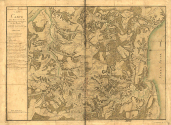
Armee de Rochambeau, 1782 Carte des environs de Williamsburg en Virginie ou les armees francoise et americaine ont campes en Septembre 1781 Desandroüins
$
17.95
–
$
47.95
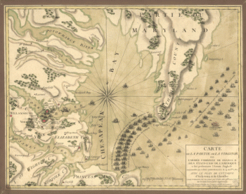
Carte de la partie de la Virginie ou l'armee combinee de France & des etats-Unis de l'Amerique a fait prisonnière l'Armee anglaise commandee par Lord Cornwallis le 19 octobre 1781, avec le plan de l'attaque d'York-town
$
17.95
–
$
47.95
Plat of a survey for William Hughes, Jr of 460 acres in Frederick County, Va on the Cacapon River
$
17.95
–
$
47.95
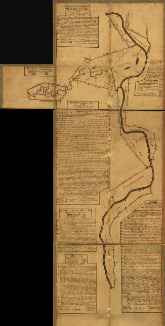
Eight survey tracts along the Kanawha River, WVa showing land granted to George Washington and others
$
17.95
–
$
47.95
1
2
Load More
All products loaded.
Search Product or SKU
×
Home
All Products
Historic Maps
American Indian Maps
Birds Eye View Maps
Civil War Maps
Panoramic Maps
Railroad Maps
Revolutionary War Maps
State Maps
Historic Prints
Civil War Prints
Civil War Posters
Historic Portraits
Presidential Portraits
Contact Us
Cart
0
Cart
Close
Updating…
No products in the cart.
Continue shopping