Home
All Products
Historic Maps
American Indian Maps
Birds Eye View Maps
Civil War Maps
Panoramic Maps
Railroad Maps
Revolutionary War Maps
State Maps
Historic Prints
Civil War Prints
Civil War Posters
Historic Portraits
Presidential Portraits
Contact Us
0
0
Search Product or SKU
×
press
Enter
to search
Showing all results:
No products found.
New York City
Search
Search Product or SKU
×
Sort By
Default
Price: Low to High
Price: High to Low
Alphabetical
SKU
Categories
All
American Indian Maps
American Indian Photos
Birds Eye View Maps
CD Collections
Civil War Maps
Civil War Posters
Civil War Prints
Panoramic Maps
Photo-chromes
Presidential Portraits
Railroad Maps
Revolutionary War Maps
St. Augustine
State Maps
Alabama
California
Canada
Georgia
Louisiana
Michigan
New Hampshire
New Jersey
New York
New York City
North Carolina
Ohio
South Carolina
Tennessee
Texas
Washington DC
Showing
“New York City”
Sketch of the country illustrating the late engagement in Long Island.
$
17.95
–
$
47.95
Map of Long Island showing the Long Island Railroad and its leased lines.
$
17.95
–
$
47.95
A plan of New York Island, with part of Long Island, Staten Island & east New Jersey
$
17.95
–
$
47.95
Plan of the attack the rebels on Long Island, by an officer of the Army.
$
17.95
–
$
47.95
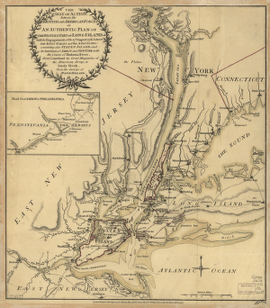
The seat of action, between the British and American forces; or, An authentic plan of the western part of Long Island
$
17.95
–
$
47.95
Plan of New York and Staten Islands with part of Long Island.
$
17.95
–
$
47.95
Reconnoissance, juillet, 1781.
$
17.95
–
$
47.95
Part of Long Island; and the coast eastward to the shoals of Nantucket.
$
17.95
–
$
47.95
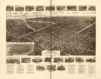
Aero-view of Lindenhurst, Long Island, 1926, New York. Drawn by R. Cinquin.
$
17.95
–
$
47.95
Map of New York City, Brooklyn, and vicinity, shewing [sic] suburban lines of Long Island Railroad and its connections.
$
17.95
–
$
47.95
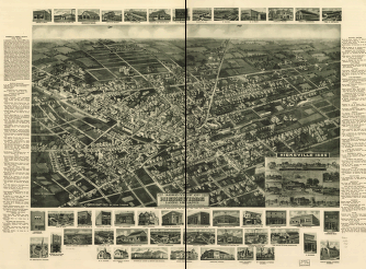
1925 aero-view of Hicksville, Long Island, Nassau County, New York.
$
17.95
–
$
47.95
Aero-view of Amityville, Suffolk County, Long Island, N.Y. 1925.
$
17.95
–
$
47.95
Aero-view of Farmingdale, Nassau County, Long Island, N.Y. 1925.
$
17.95
–
$
47.95
Environs de New-York, de Long-Island, etc.
$
17.95
–
$
47.95
Aero-view of Valley Stream, Long Island 1924.
$
17.95
–
$
47.95
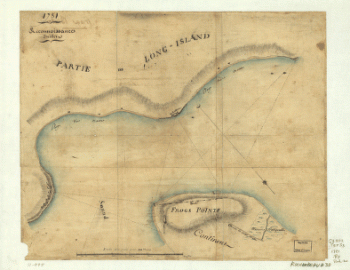
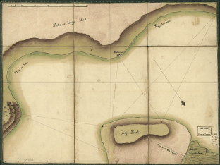
Frog's Point avec batteries de Partie de Longue Island.
$
17.95
–
$
47.95
Birdseye view from South Broadway
$
17.95
–
$
47.95
Map showing the route & connections of the Central Rail Road Extension Company of Long Island.
$
17.95
–
$
47.95
1
2
Load More
All products loaded.
Search Product or SKU
×
Home
All Products
Historic Maps
American Indian Maps
Birds Eye View Maps
Civil War Maps
Panoramic Maps
Railroad Maps
Revolutionary War Maps
State Maps
Historic Prints
Civil War Prints
Civil War Posters
Historic Portraits
Presidential Portraits
Contact Us
Cart
0
Cart
Close
Updating…
No products in the cart.
Continue shopping