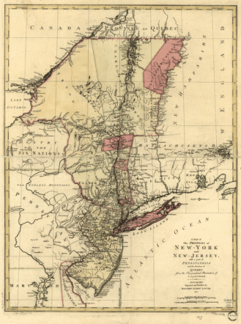
Home
All Products
Historic Maps
American Indian Maps
Birds Eye View Maps
Civil War Maps
Panoramic Maps
Railroad Maps
Revolutionary War Maps
State Maps
Historic Prints
Civil War Prints
Civil War Posters
Historic Portraits
Presidential Portraits
Contact Us
0
0
Search Product or SKU
×
press
Enter
to search
Showing all results:
No products found.
New York
Search
Search Product or SKU
×
Sort By
Default
Price: Low to High
Price: High to Low
Alphabetical
SKU
Categories
All
American Indian Maps
American Indian Photos
Birds Eye View Maps
CD Collections
Civil War Maps
Civil War Posters
Civil War Prints
Panoramic Maps
Photo-chromes
Presidential Portraits
Railroad Maps
Revolutionary War Maps
St. Augustine
State Maps
Alabama
California
Canada
Georgia
Louisiana
Michigan
New Hampshire
New Jersey
New York
New York City
North Carolina
Ohio
South Carolina
Tennessee
Texas
Washington DC
Showing
“New York”
Draft of the lands disputed by Philipse Patent against Beekmans & Rambaults.
$
17.95
–
$
47.95
Disposition of British troops, with fortifications north of Fort Knipehausen, i.e. Fort Washington to Fort Independence.
$
17.95
–
$
47.95
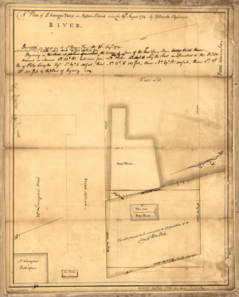
Designs for fortifying Governors Island near New York.
$
17.95
–
$
47.95
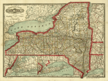
Cram's township and rail road map of New York.
$
17.95
–
$
47.95
Corning, N.Y., 1882 : junction of the New York, Lake Erie, and Western and the Syracuse, Geneva & Corning R.R.'s / C.J. Corbin, field manager.
$
17.95
–
$
47.95
City of New York
$
17.95
–
$
47.95
Carte de l'entrée de la rivière d'Hudson, dépuis Sandy-Hook jusques à New-York avec les bancs, sondes, marques de navigation
$
17.95
–
$
47.95
Bird's-eye-view of Brooklyn] Compliments of Woldmere Realty Co.
$
17.95
–
$
47.95
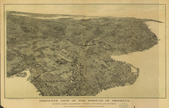
Bird's-eye view of the borough of Brooklyn
$
17.95
–
$
47.95
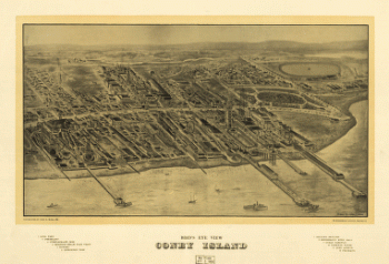
Bird's eye view Coney Island.
$
17.95
–
$
47.95
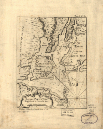
Baye et port d'Yorc, capitale de la Nouvelle Yorc.
$
17.95
–
$
47.95
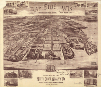
Bay Side Park, 3d ward, borough of Queens, New York City.
$
17.95
–
$
47.95
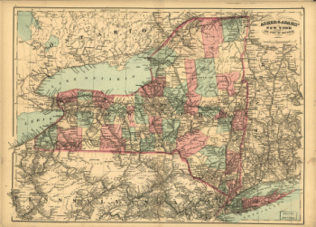
Asher & Adams' New York and part of Ontario.
$
17.95
–
$
47.95
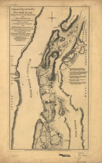
A topographical map of the northn. part of New York Island
$
17.95
–
$
47.95
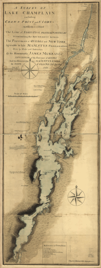
A survey of Lake Champlain including Crown Point and St. Iohn's
$
17.95
–
$
47.95
A Plan of the works on Spikendevil Hill with the ground in front, protracted from a scale of 200 feet to an inch
$
17.95
–
$
47.95
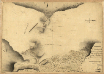
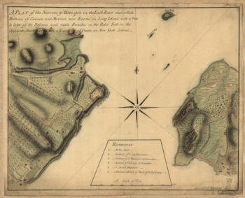
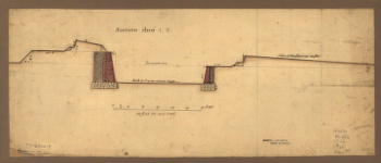
A plan of the Narrows of Hells-gate in the East River
$
17.95
–
$
47.95
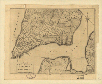
A plan of the city and environs of New York in North America.
$
17.95
–
$
47.95
A plan of St. Georges Ferry on Nassau-Island made the 10th August 1774, by G. Bancker, city surveyor.
$
17.95
–
$
47.95
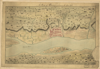
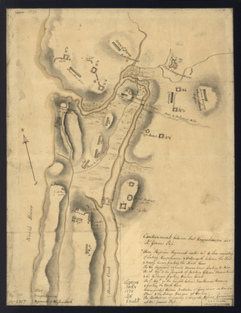
A Plan of Albany, as it was in the year 1758.
$
17.95
–
$
47.95
A map of the provinces of New-York and New Jersey, with a part of Pennsylvania and the Province of Quebec
$
17.95
–
$
47.95
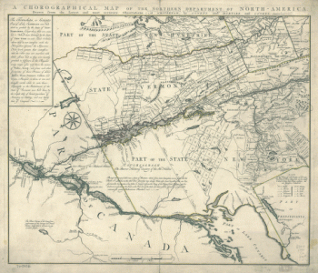
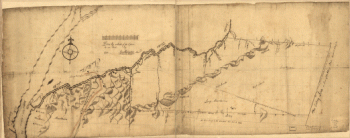
A chorographical map of the Northern Department of North-America
$
17.95
–
$
47.95
1888 Corinth, N.Y. and Palmer Falls. Drawn and published by L. R. Burleigh. Burleigh Lith. Est.
$
17.95
–
$
47.95
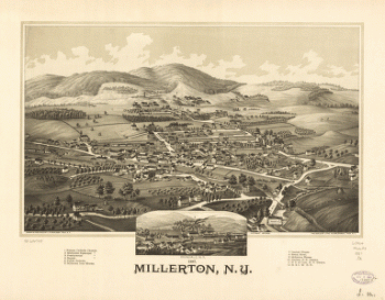
1887 Millerton, N.Y.
$
17.95
–
$
47.95
1
2
Load More
All products loaded.
Search Product or SKU
×
Home
All Products
Historic Maps
American Indian Maps
Birds Eye View Maps
Civil War Maps
Panoramic Maps
Railroad Maps
Revolutionary War Maps
State Maps
Historic Prints
Civil War Prints
Civil War Posters
Historic Portraits
Presidential Portraits
Contact Us
Cart
0
Cart
Close
Updating…
No products in the cart.
Continue shopping