Home
All Products
Historic Maps
American Indian Maps
Birds Eye View Maps
Civil War Maps
Panoramic Maps
Railroad Maps
Revolutionary War Maps
State Maps
Historic Prints
Civil War Prints
Civil War Posters
Historic Portraits
Presidential Portraits
Contact Us
0
0
Search Product or SKU
×
press
Enter
to search
Showing all results:
No products found.
State Maps
Search
Search Product or SKU
×
Sort By
Default
Price: Low to High
Price: High to Low
Alphabetical
SKU
Categories
All
American Indian Maps
American Indian Photos
Birds Eye View Maps
CD Collections
Civil War Maps
Civil War Posters
Civil War Prints
Panoramic Maps
Photo-chromes
Presidential Portraits
Railroad Maps
Revolutionary War Maps
St. Augustine
State Maps
Alabama
California
Canada
Georgia
Louisiana
Michigan
New Hampshire
New Jersey
New York
New York City
North Carolina
Ohio
South Carolina
Tennessee
Texas
Washington DC
Showing
“State Maps”
Mouths of Roanoke River, North Carolina
$
17.95
–
$
47.95
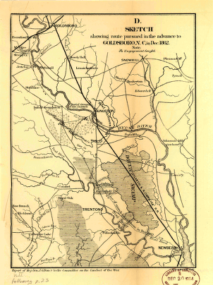
Sketch showing route pursued in the advance to Goldsboro, N.C., in Dec. 1862
$
17.95
–
$
47.95
J. H. Colton's topographical map of North and South Carolina
$
17.95
–
$
47.95
A map of the Tennessee government, formerly part of North Carolina.
$
17.95
–
$
47.95
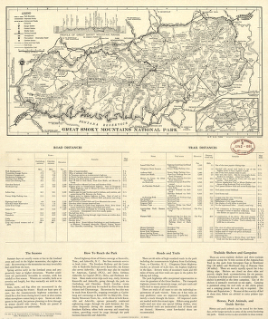
Great Smoky Mountains National Park.
$
17.95
–
$
47.95
Great Smoky Mountains National Park.
$
17.95
–
$
47.95
Great Smoky Mountains National Park and vicinity.
$
17.95
–
$
47.95
Great Smoky Mountains National Park.
$
17.95
–
$
47.95
Preliminary base map, Great Smoky Mountains National Park.
$
17.95
–
$
47.95
Great Smoky Mountains National Park and vicinity.
$
17.95
–
$
47.95
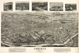
Asheville, Buncombe Co. N.C. 1912.
$
17.95
–
$
47.95
Hendersonville, N.C. 1913.
$
17.95
–
$
47.95
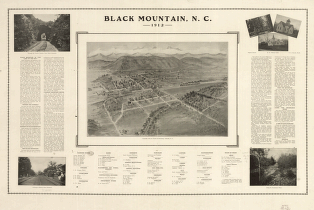
Black Mountain, N.C. 1912.
$
17.95
–
$
47.95
Dominia Anglorum in America Septentrionali. Specialibus mappis Londini primum a Mollio edita, nunc recusa ab Hommanianis Hered.
$
17.95
–
$
47.95
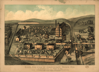
Bird's eye view of Confederate prison pen at Salisbury, N.C., taken in 1864.
$
17.95
–
$
47.95
Property of the South Rocky Mount Land Co. at South Rocky Mount, N.C.
$
17.95
–
$
47.95
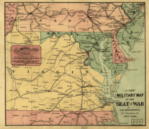
A new military map of the seat of war by J.H. Higginson.
$
17.95
–
$
47.95
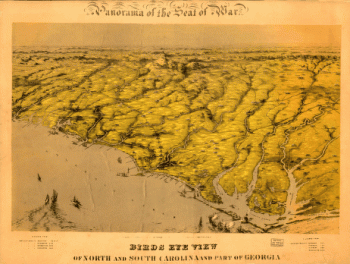
Birds eye view of North and South Carolina and part of Georgia.
$
17.95
–
$
47.95
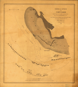
Attack on Fort Fisher
$
17.95
–
$
47.95
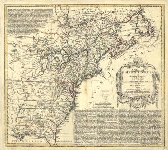
America Septentrionalis a Domino d'Anville in Galliis edita nunc in Anglia
$
17.95
–
$
47.95
Interesting Bird's eye view of the seat of war
$
17.95
–
$
47.95
Western border states
$
17.95
–
$
47.95
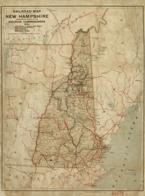
Railroad map of New Hampshire accompanying report of the railroad commissioners, 1894.
$
17.95
–
$
47.95
Bird's eye view of the village of Farmington, Stafford County, New Hampshire 1877.
$
17.95
–
$
47.95
Dover, Stafford County, New Hampshire 1888.
$
17.95
–
$
47.95
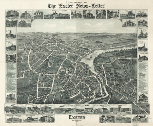
Exeter, New Hampshire, 1896. Compliments of the Exeter News-letter.
$
17.95
–
$
47.95
Salmon Falls, Strafford Co., New Hampshire 1877.
$
17.95
–
$
47.95
Bird's eye view of Rochester, Strafford County, New Hampshire, 1877 : from a position, east of town / pub. by J. J. Stoner ; C. H. Vogt & Co., lith., Milwaukee.
$
17.95
–
$
47.95
Bird's eye view of Dover, Strafford Co., New Hampshire 1877. A. Ruger del.
$
17.95
–
$
47.95
Antrim, N.H. and Clinton Village.
$
17.95
–
$
47.95
Franklin and Franklin Falls, N.H., Merrimack County, 1884. [Drawn by] H. Wellge.
$
17.95
–
$
47.95
Bird's eye view of Portsmouth, Rockingham Co., New Hampshire 1877. A. Ruger del. D. Bremner & Co. Lith.
$
17.95
–
$
47.95
Wolfeborough, N.H., Lake Winnipesaukee. Drawn & published by Geo. E. Norris. Burleigh Lith. Est.
$
17.95
–
$
47.95
Alton and Alton Bay, N.H. 1888. Drawn & published by Geo. E. Norris. The Burleigh Lith. Est.
$
17.95
–
$
47.95
Greenville, N.H. 1886. Burleigh Lith. Establishment.
$
17.95
–
$
47.95
Bird's eye view of Great Falls, Strafford Co., New Hampshire & Berwick, York Co., Maine 1877. A. Ruger del. C.H. Vogt & Co. Lith.
$
17.95
–
$
47.95
The most inhabited part of New England
$
17.95
–
$
47.95
The most inhabited part of New England
$
17.95
–
$
47.95
South-New-Market, Rockingham County, N.H. 1884.
$
17.95
–
$
47.95
Bird's eye view of Laconia, Belknap County, N.H. 1883. Beck & Pauli, lithographers.
$
17.95
–
$
47.95
Concord, N.H. 1899.
$
17.95
–
$
47.95
Tilton, N.H., Belknap County, 1884. H. Wellge, del.
$
17.95
–
$
47.95
Hillsborough-Bridge, Hillsborough County, N.H. 1884. H. W., del.
$
17.95
–
$
47.95
Pittsfield, Merrimackcounty, N.H. 1884. Beck & Pauli, litho.
$
17.95
–
$
47.95
Penacook, N.H. Pub. & drawn by L. R. Burleigh.
$
17.95
–
$
47.95
Bird's eye view of Lake Village, Belknap County, N.H. 1883. Beck & Pauli, lithographers.
$
17.95
–
$
47.95
Meredith Village, N.H. Drawn & published by Geo E. Norris. Burleigh Lith. Est.
$
17.95
–
$
47.95
An Accurate map of New Hampshire in New England, from a late survey.
$
17.95
–
$
47.95
1
2
3
…
7
8
9
10
11
12
13
…
18
19
20
Load More
All products loaded.
Search Product or SKU
×
Home
All Products
Historic Maps
American Indian Maps
Birds Eye View Maps
Civil War Maps
Panoramic Maps
Railroad Maps
Revolutionary War Maps
State Maps
Historic Prints
Civil War Prints
Civil War Posters
Historic Portraits
Presidential Portraits
Contact Us
Cart
0
Cart
Close
Updating…
No products in the cart.
Continue shopping