State Maps
-

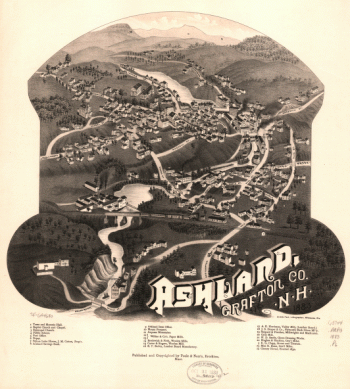
Ashland, Grafton Co., N.H. 1883. Beck & Pauli, lithographers.
$17.95 – $47.95 -
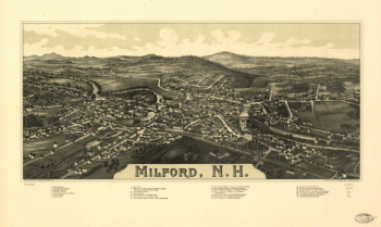
Milford, N.H. Drawn & pub. by L. R. Burleigh. C.H. Vogt.
$17.95 – $47.95 -
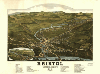
Bristol, Grafton County, N.H. 1884. Beck & Pauli, litho.
$17.95 – $47.95 -
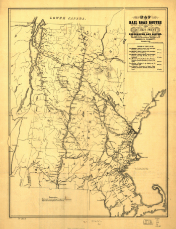
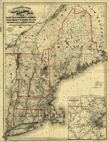
Railroad routes from Rouse's Point to Portsmouth and Boston
$17.95 – $47.95 -
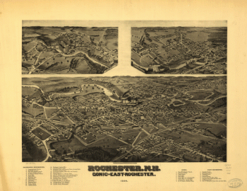
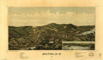
Rochester, N.H., Gonic and East-Rochester, 1884. H. Wellge, del.
$17.95 – $47.95 -
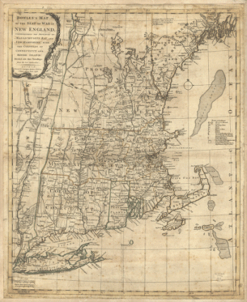
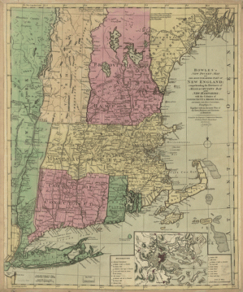
Bowles's map of the seat of war in New England
$17.95 – $47.95 -
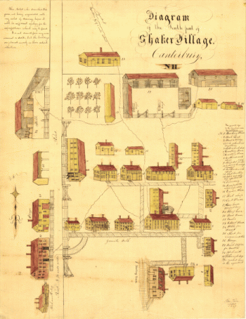
Diagram of the south part of Shaker Village, Canterbury, NH.
$17.95 – $47.95 -
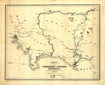
Portsmouth and Concord Railroad
$17.95 – $47.95 -
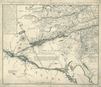
Chorographical map Northern Department of North-America
$17.95 – $47.95 -
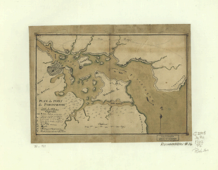
Plan du port de Portsmouth levé à vue.
$17.95 – $47.95 -
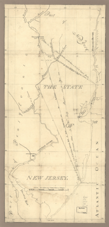
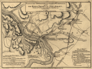
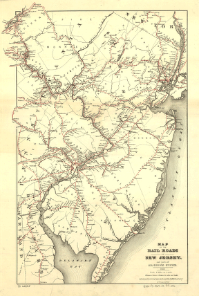
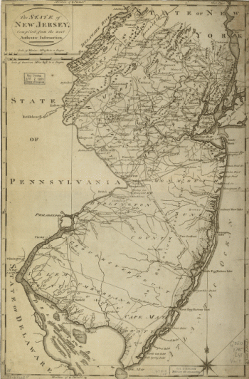
The State of New Jersey
$17.95 – $47.95 -
Map of the coast of New Jersey from Barnegat Inlet to Cape May.
$17.95 – $47.95 -
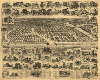
Asbury Park, Ocean Grove and vicinity, New Jersey 1897.
$17.95 – $47.95 -
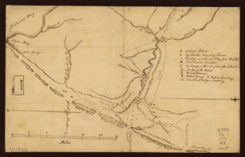
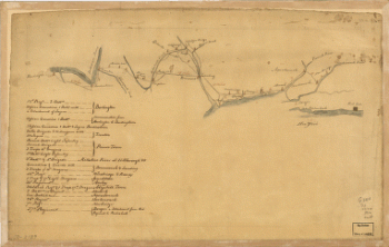
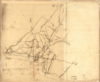
Draft of roads in New Jersey.
$17.95 – $47.95 -
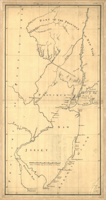
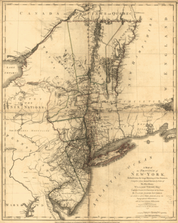
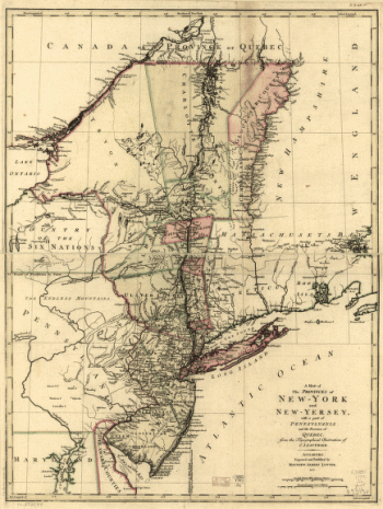
A map of the Province of New-York
$17.95 – $47.95 -
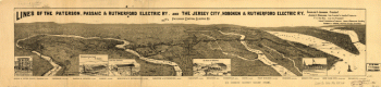
Lines of the Paterson, Passaic, & Rutherford Electric Railway
$17.95 – $47.95 -
A map of the provinces of New-York and New-Yersey
$17.95 – $47.95 -
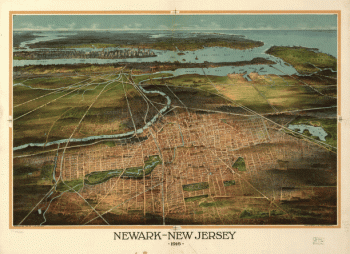
Newark-New Jersey 1916.
$17.95 – $47.95 -
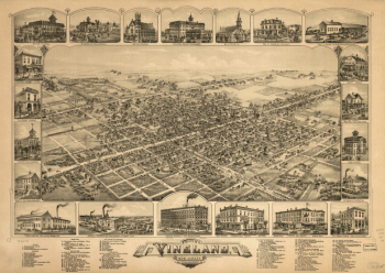
The city of Vineland, New Jersey, 1885.
$17.95 – $47.95
![Bird's eye view of Whitefield, Coos County, N.H., 1883. [Drawn by] A. F. Poole. Beck & Pauli, lithographers.](https://www.ushistoricalarchive.com/wp-content/uploads/nc/data/products/im/sm/nh/b45-350x270.gif)
![Bird's eye view of Littleton, Grafton County, N.H. 1883. [Drawn by] A. Poole. Beck & Pauli, lithographers.](https://www.ushistoricalarchive.com/wp-content/uploads/nc/data/products/im/sm/nh/b48-350x272.gif)
![Bird's eye view of the village of Lancaster, Coos County, N.H. 1883. [Drawn by] A. F. Poole. Beck & Pauli, lithographers.](https://www.ushistoricalarchive.com/wp-content/uploads/nc/data/products/im/sm/nh/b52-350x265.gif)