State Maps
-

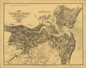
Map of Charleston and its defences
$17.95 – $47.95 -
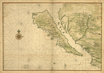
Map of California shown as an island
$17.95 – $47.95 -
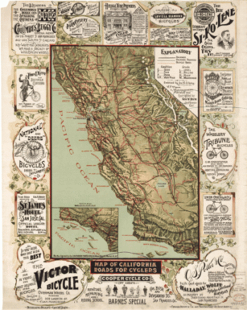
Map of California roads for cyclers.
$17.95 – $47.95 -
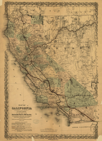
Map of California
$17.95 – $47.95 -
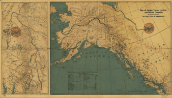
Map of Alaska, Yukon Territory and British Columbia
$17.95 – $47.95 -
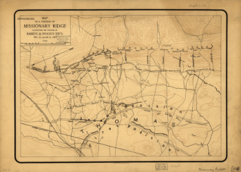
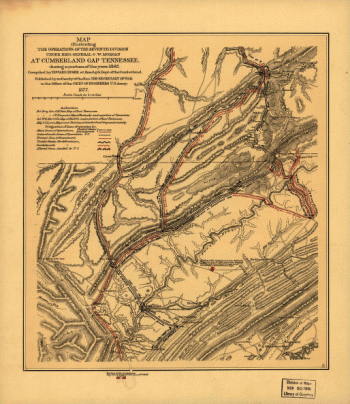
Map of a portion of Missionary Ridge
$17.95 – $47.95 -
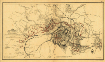
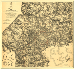
Map illustrating the siege of Atlanta, Ga.
$17.95 – $47.95 -
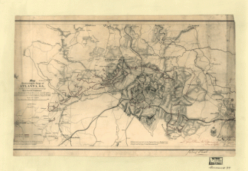
Map illustrating the siege of Atlanta, Ga.
$17.95 – $47.95 -
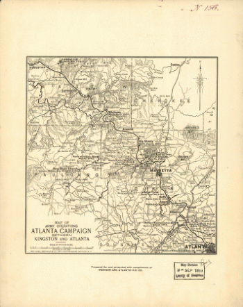
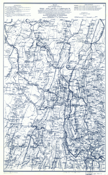
Map illustrating the first epoch of the Atlanta Campaign
$17.95 – $47.95 -
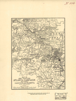
Map illustrating the first epoch of the Atlanta Campaign
$17.95 – $47.95 -
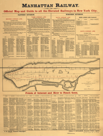
Map and guide of the elevated railroads of New York City.
$17.95 – $47.95 -
Manatvs gelegen op de Noot [sic] Riuier.
$17.95 – $47.95 -
Manatvs gelegen op de Noot [sic] Riuier.
$17.95 – $47.95 -
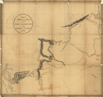
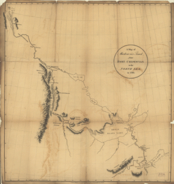
Mackenzie's track from Fort Chipewyan to the north sea in 1789
$17.95 – $47.95 -
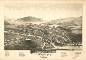
Luzerne, N.Y. and Hadley. Drawn & published by L. R. Burleigh.
$17.95 – $47.95 -
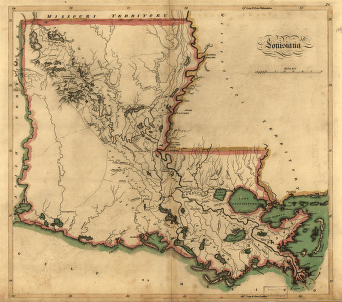
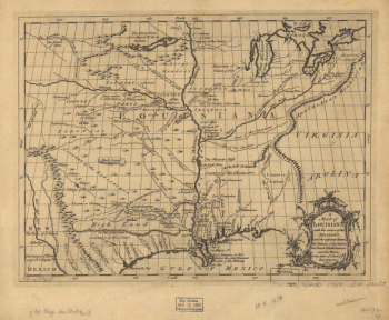
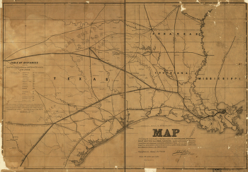
Louisiana.
$17.95 – $47.95 -
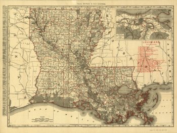
Louisiana from 1896
$17.95 – $47.95 -
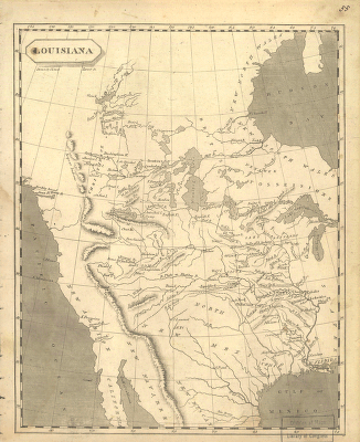
Louisiana
$17.95 – $47.95 -
Louisiana
$17.95 – $47.95 -
Louisiana
$17.95 – $47.95 -
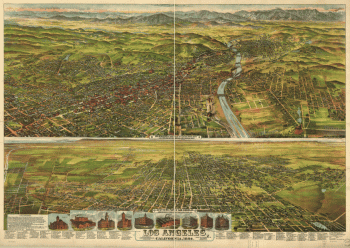
Los Angeles, Cal., population of city and environs 65,000.
$17.95 – $47.95 -
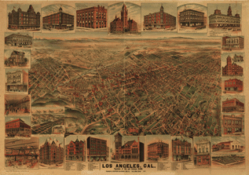
Los Angeles, Cal. S.F. Cook del. ; lith. Britton & Rey, S.F.
$17.95 – $47.95 -
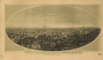
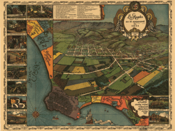
Los Angeles as it appeared in 1871. Gores, fecit.
$17.95 – $47.95 -
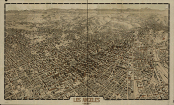
Los Angeles 1909.
$17.95 – $47.95 -
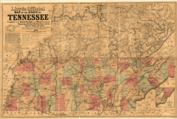
Lloyd's official map of the State of Tennessee
$17.95 – $47.95 -
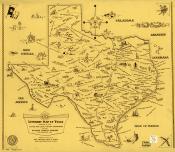
Literary map of Texas. Compiled Sept. 25, 1955
$17.95 – $47.95 -
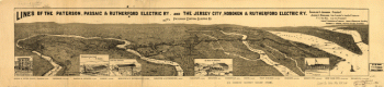
Lines of the Paterson, Passaic, & Rutherford Electric Railway
$17.95 – $47.95 -
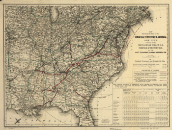
Line of the Virginia, Tennessee, & Georgia Air Line
$17.95 – $47.95 -
Line of the Virginia, Tennessee, & Georgia Air
$17.95 – $47.95 -
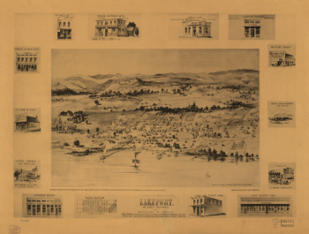
Lakeport, Lake County, California, the Switzerland of America.
$17.95 – $47.95 -
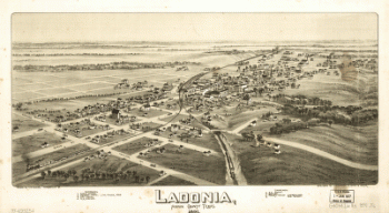
Ladonia, Fannin County, Texas.
$17.95 – $47.95 -
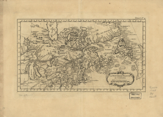
La Nouvelle France où Canada
$17.95 – $47.95 -
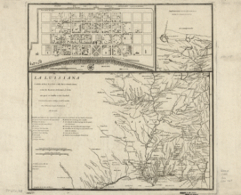
La Luisiana cedida al Rei N. S. por S. M. Christianisima
$17.95 – $47.95 -
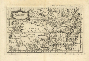
La Louisiane et pays voisins.
$17.95 – $47.95
![Map of Chattanooga and environs. Engraved by Buff[alo] Elec. & Eng. Co.](https://www.ushistoricalarchive.com/wp-content/uploads/nc/data/products/im/sm/tn/b81.gif)

![Manatvs gelegen op de Noot [sic] Riuier.](https://www.ushistoricalarchive.com/wp-content/uploads/nc/data/products/im/sm/ny/b1-350x251.gif)
![Manatvs gelegen op de Noot [sic] Riuier.](https://www.ushistoricalarchive.com/wp-content/uploads/nc/data/products/im/sm/nyc/b13-350x251.gif)