State Maps
-

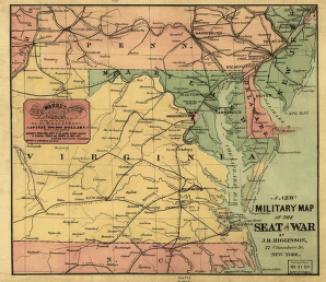
A new military map of the seat of war by J.H. Higginson.
$17.95 – $47.95 -
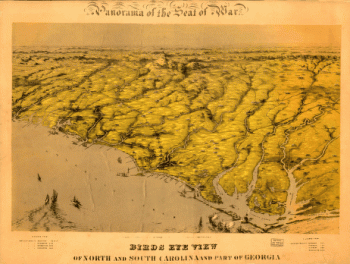
Birds eye view of North and South Carolina and part of Georgia.
$17.95 – $47.95 -
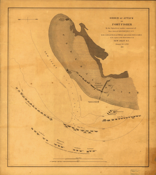
Attack on Fort Fisher
$17.95 – $47.95 -
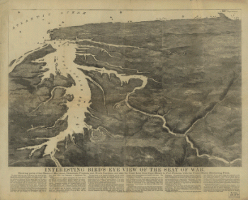
Interesting Bird's eye view of the seat of war
$17.95 – $47.95 -
Western border states
$17.95 – $47.95 -
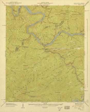
North Carolina. – Tapoco
$17.95 – $47.95 -
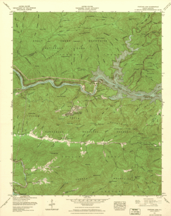
North Carolina. – Fontana Dam
$17.95 – $47.95 -
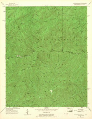
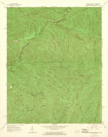
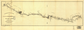
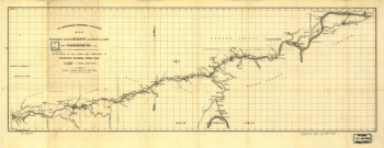
North Carolina. – Thunderhead Mountain
$17.95 – $47.95 -
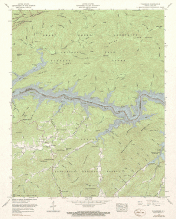
North Carolina. – Tuskeegee
$17.95 – $47.95 -
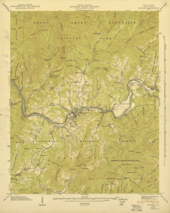
North Carolina. – Bryson
$17.95 – $47.95 -
North Carolina. – Clingmans Dome
$17.95 – $47.95 -
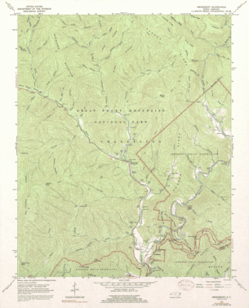
North Carolina. – Smokemont
$17.95 – $47.95 -
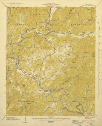
North Carolina. – Whittier
$17.95 – $47.95 -
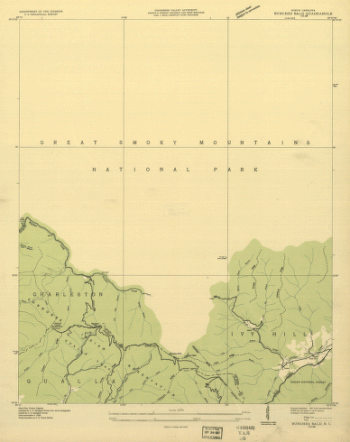
North Carolina. – Bunches Bald
$17.95 – $47.95 -
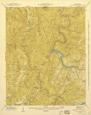
North Carolina. – Cove Creek
$17.95 – $47.95 -
North Carolina. – Luftee Knob
$17.95 – $47.95 -
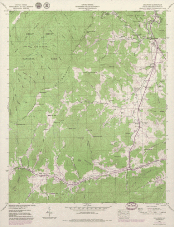
North Carolina. – Dellwood
$17.95 – $47.95 -
Map of Logan county, Ohio
$17.95 – $47.95 -
Map of Logan county, Ohio
$17.95 – $47.95 -
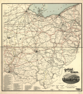
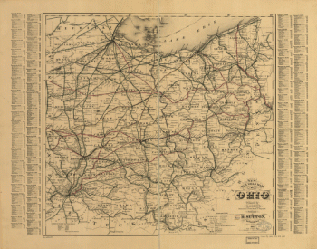
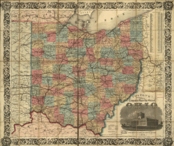
Railroad map of Ohio
$17.95 – $47.95 -
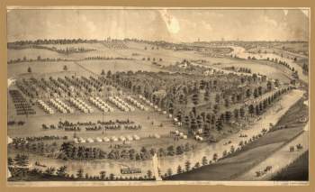
Army camp at Gaylord's Grove, Cuyahoga Falls, Ohio
$17.95 – $47.95 -
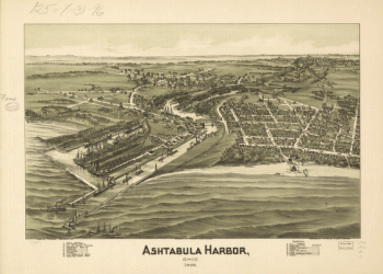
Ashtabula Harbor, Ohio 1896.
$17.95 – $47.95 -
Hillsborough & Cincinnati Rail-road map
$17.95 – $47.95 -
Hillsborough & Cincinnati Railroad map
$17.95 – $47.95 -
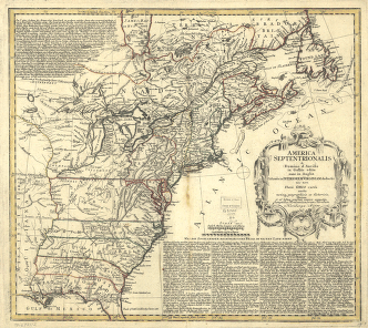
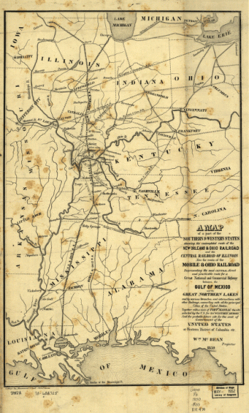
A map of a part of the southern & western states
$17.95 – $47.95 -
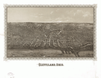
Cleveland, Ohio.
$17.95 – $47.95 -
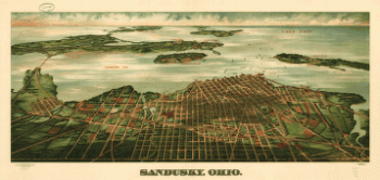
Sandusky, Ohio. Gugler Litho. Co.
$17.95 – $47.95 -
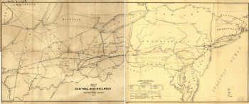
Map of the Central Ohio Railroad and connecting lines.
$17.95 – $47.95 -
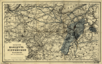
Map of the Marietta and Pittsburgh Railroad and its connections.
$17.95 – $47.95 -
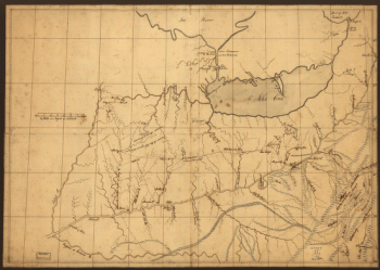
A trader's map of the Ohio country before 1753.
$17.95 – $47.95 -
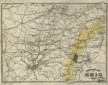
Rail road map of Ohio 1873.
$17.95 – $47.95 -
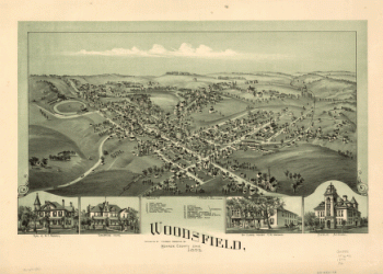
Woodsfield, Monroe County, Ohio, 1899
$17.95 – $47.95 -
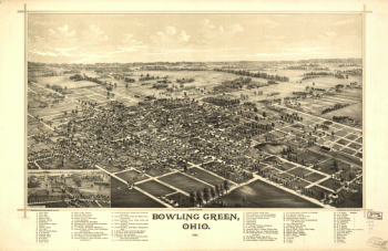
Bowling Green, Ohio 1888. Burleigh Lith. Est.
$17.95 – $47.95 -
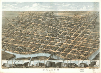
Dayton, Ohio 1870.
$17.95 – $47.95 -
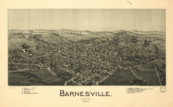
Barnesville, Ohio 1899
$17.95 – $47.95 -
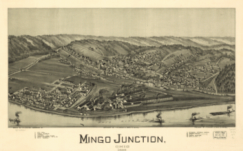
Mingo Junction, Ohio 1899
$17.95 – $47.95 -
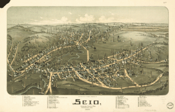
Scio, Harrison County, Ohio
$17.95 – $47.95