State Maps
-

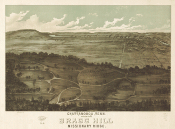
Chattanooga, Tenn. as seen from Bragg Hill, Missionary Ridge
$17.95 – $47.95 -
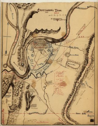
Chattanooga Tenn. 1863 / G.H. Blakeslee, U.S. Top. Eng.
$17.95 – $47.95 -
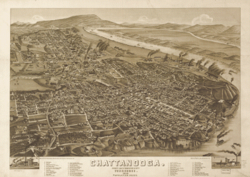
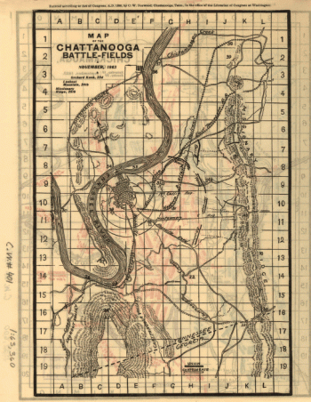
Chattanooga battle-fields, November, 1863
$17.95 – $47.95 -
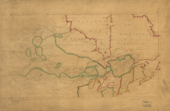
Chattanooga and surrounding battlefields [By Reginald] Purse.
$17.95 – $47.95 -
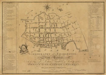
Charleston, South-Carolina
$17.95 – $47.95 -
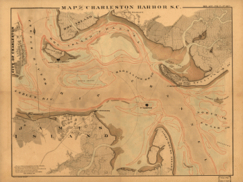
Charleston Harbor, S.C.
$17.95 – $47.95 -
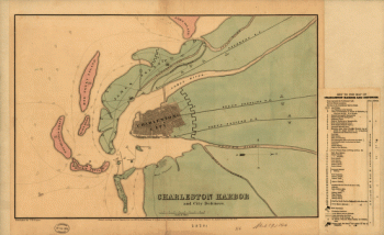
Charleston Harbor and city defences
$17.95 – $47.95 -
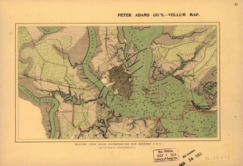
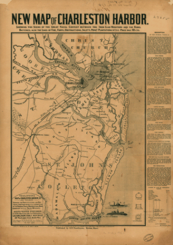
Charleston Harbor
$17.95 – $47.95 -
Charleston Harbor
$17.95 – $47.95 -
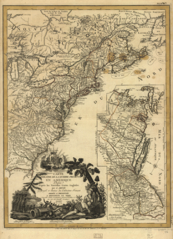
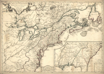
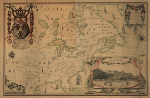
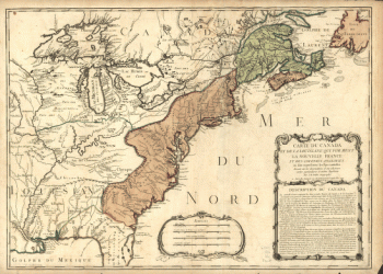
Carte du Canada et des Etats-Unis de l'Amérique Septentrionale
$17.95 – $47.95 -
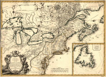
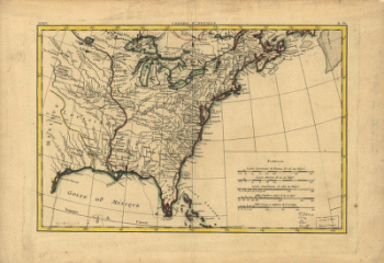
Carte de l'Amerique Septentrionnale
$17.95 – $47.95 -
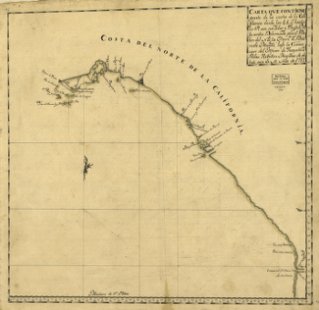
Carta que contiene parte de la costa de la California.
$17.95 – $47.95 -
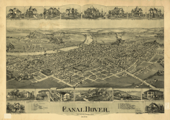
Canal Dover, Tuscarawas County, Ohio 1899. Drawn by A. E. Downs.
$17.95 – $47.95 -
Canada IIe. feuille, XXXV, B 32
$17.95 – $47.95 -
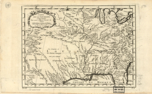
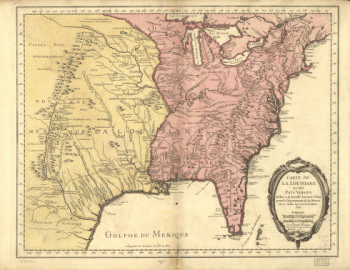
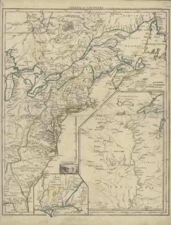
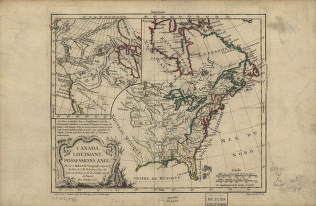
Canada and Louisiane
$17.95 – $47.95 -
Canada and Louisiana
$17.95 – $47.95 -
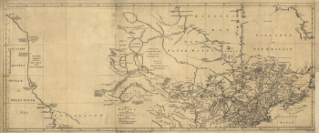
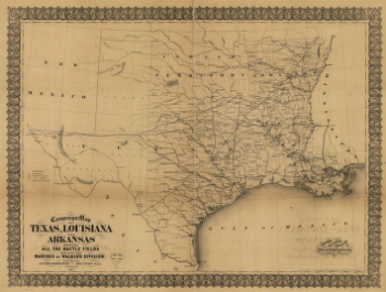
Campaign map of Texas, Louisiana and Arkansas
$17.95 – $47.95 -
Campaign map of Texas, Louisiana and Arkansas
$17.95 – $47.95 -
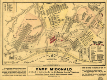
Camp McDonald
$17.95 – $47.95 -
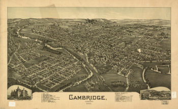
Cambridge, Ohio 1899. Drawn by T. M. Fowler.
$17.95 – $47.95 -
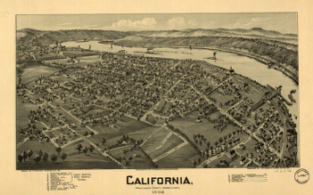
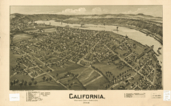
California, Washington County, Pennsylvania, 1902
$17.95 – $47.95 -
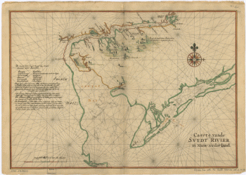
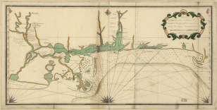
Caert vande Svydt Rivier in Niew Nederland.
$17.95 – $47.95 -
Caert vande Svydt Rivier in Niew Nederland.
$17.95 – $47.95 -
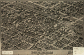
Business section of the city of Birmingham, Alabama.
$17.95 – $47.95 -
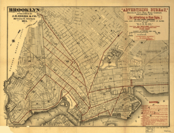
Brooklyn.
$17.95 – $47.95 -
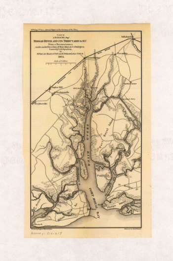
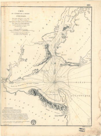
Broad River and its tributaries, S.C.
$17.95 – $47.95
![Chattanooga and surrounding battlefields [By Reginald] Purse.](https://www.ushistoricalarchive.com/wp-content/uploads/nc/data/products/im/sm/tn/b26-350x146.gif)

![Catalogue of points of historic interest : [Washington D.C. and metropolitan area]](https://www.ushistoricalarchive.com/wp-content/uploads/nc/data/products/im/sm/dc/b14-350x247.gif)


![Calumet, Hecla & Red Jacket, Mich. : 1881 / [signed] H. Wellge, Milw. ; Beck & Pauli, lith., Milwaukee, Wis.](https://www.ushistoricalarchive.com/wp-content/uploads/nc/data/products/im/sm/mi/b7-350x213.gif)