State Maps
-

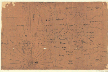
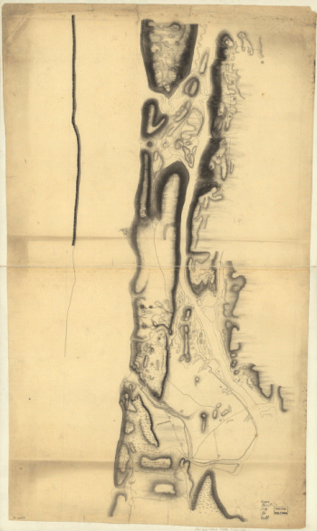
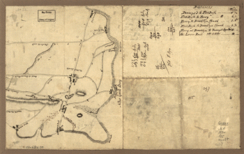
New York Island. Military. Unfinished.
$17.95 – $47.95 -
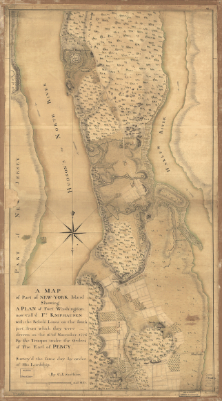
A map of part of New-York Island
$17.95 – $47.95 -
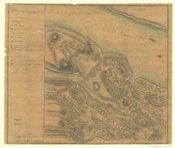
Nord de l'Ile de New-York.
$17.95 – $47.95 -
New York Island. Military; unfinished.
$17.95 – $47.95 -
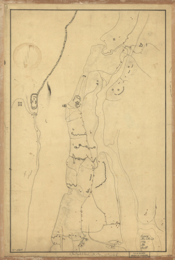
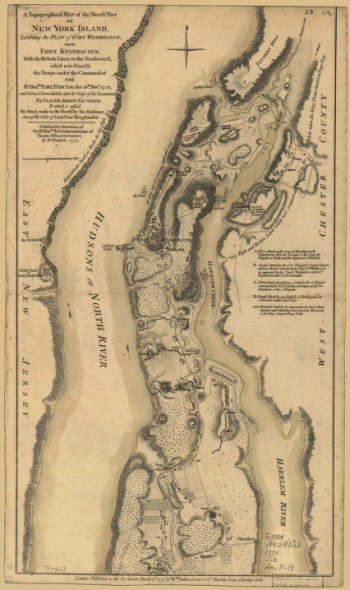
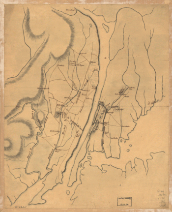
A topographical map of the northn. part of New York Island
$17.95 – $47.95 -
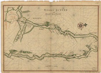
Noort Rivier in Niew Neerlandt.
$17.95 – $47.95 -
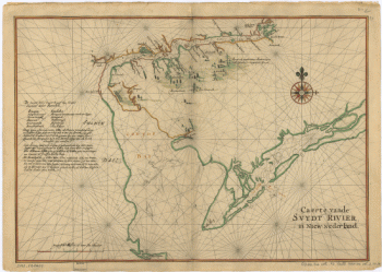
Caert vande Svydt Rivier in Niew Nederland.
$17.95 – $47.95 -
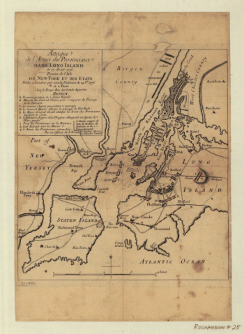
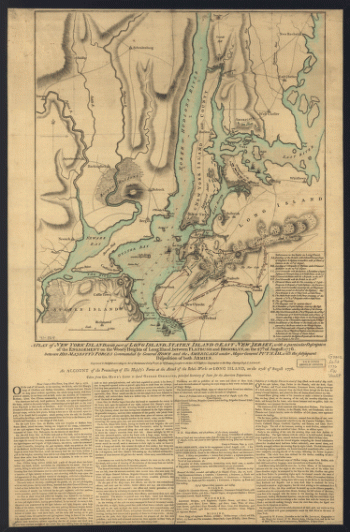
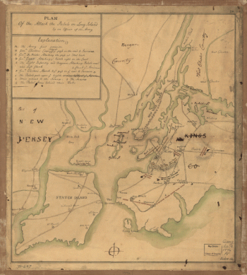
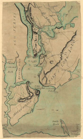
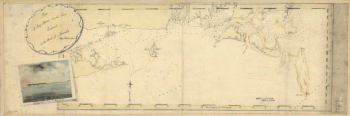
Plan of New York and Staten Islands with part of Long Island.
$17.95 – $47.95 -
Reconnoissance, juillet, 1781.
$17.95 – $47.95 -
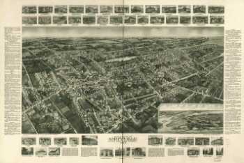
Aero-view of Amityville, Suffolk County, Long Island, N.Y. 1925.
$17.95 – $47.95 -
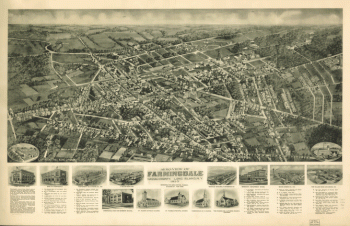
Aero-view of Farmingdale, Nassau County, Long Island, N.Y. 1925.
$17.95 – $47.95 -
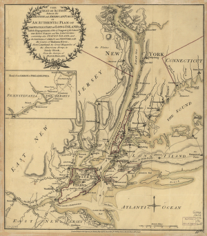
Environs de New-York, de Long-Island, etc.
$17.95 – $47.95 -
Aero-view of Valley Stream, Long Island 1924.
$17.95 – $47.95 -
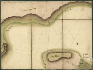
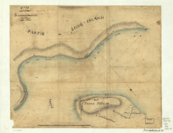
Frog's Point avec batteries de Partie de Longue Island.
$17.95 – $47.95 -
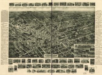
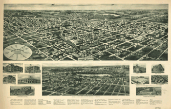
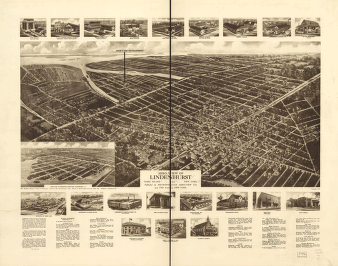
Birdseye view from South Broadway
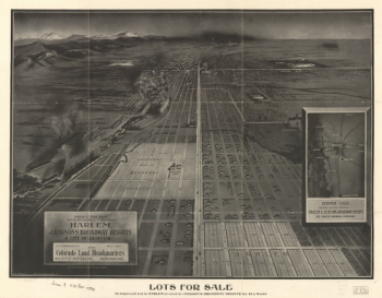
$17.95 – $47.95 -
Map of Logan county, Ohio
$17.95 – $47.95 -
Hillsborough & Cincinnati Railroad map
$17.95 – $47.95 -
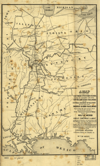
A map of a part of the southern & western states
$17.95 – $47.95 -
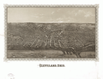
Cleveland, Ohio.
$17.95 – $47.95 -
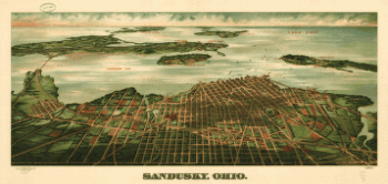
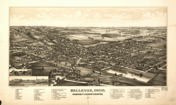
Sandusky, Ohio. Gugler Litho. Co.
$17.95 – $47.95 -
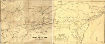
Map of the Central Ohio Railroad and connecting lines.
$17.95 – $47.95 -
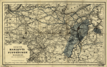
Map of the Marietta and Pittsburgh Railroad and its connections.
$17.95 – $47.95 -
Map of Logan county, Ohio
$17.95 – $47.95 -
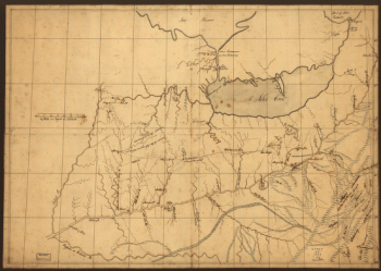
A trader's map of the Ohio country before 1753.
$17.95 – $47.95 -
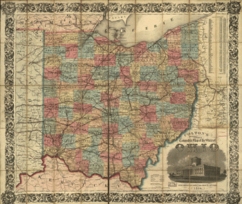
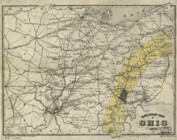
Rail road map of Ohio 1873.
$17.95 – $47.95 -
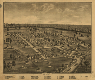
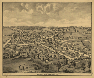
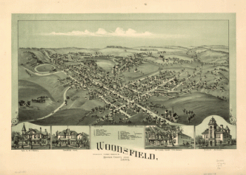
Woodsfield, Monroe County, Ohio, 1899
$17.95 – $47.95 -
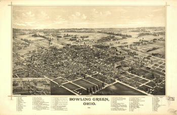
Bowling Green, Ohio 1888. Burleigh Lith. Est.
$17.95 – $47.95
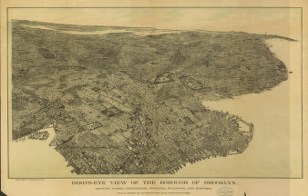

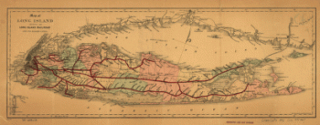
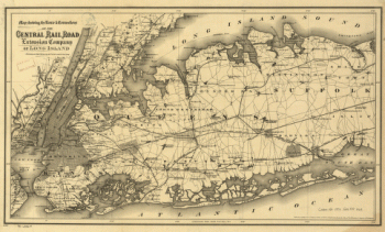
![Map of New York City, Brooklyn, and vicinity, shewing [sic] suburban lines of Long Island Railroad and its connections.](https://www.ushistoricalarchive.com/wp-content/uploads/nc/data/products/im/sm/nyc/b8-350x504.gif)