State Maps
-

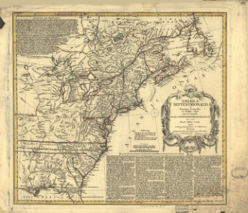
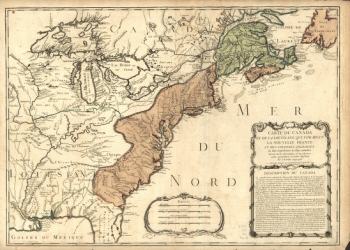
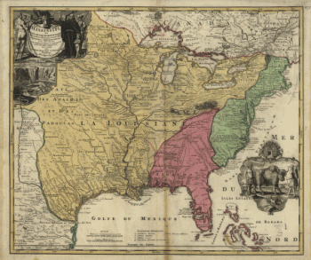
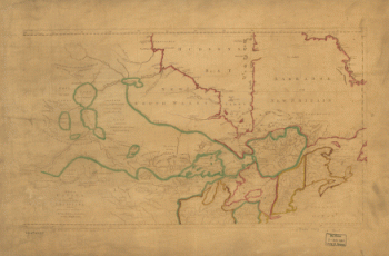
Amplissima regionis Mississipi seu provinciæ Ludovicianæ â R.P.
$17.95 – $47.95 -
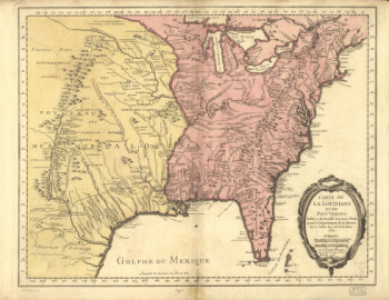
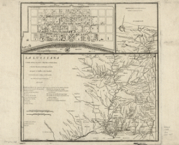
La Luisiana cedida al Rei N. S. por S. M. Christianisima
$17.95 – $47.95 -
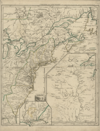
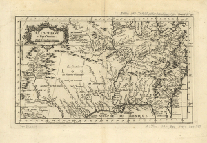
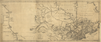
La Louisiane et pays voisins.
$17.95 – $47.95 -
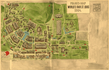
Pharus-map World's Fair St. Louis, 1904.
$17.95 – $47.95 -
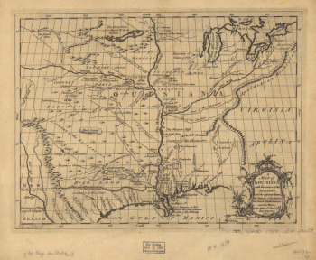
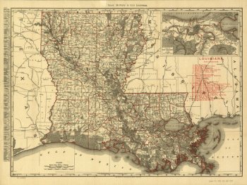
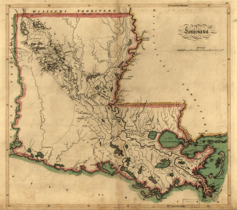
Louisiana
$17.95 – $47.95 -
Louisiana from 1896
$17.95 – $47.95 -
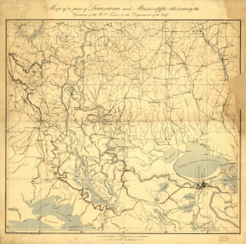
Part of Louisiana and Mississippi
$17.95 – $47.95 -
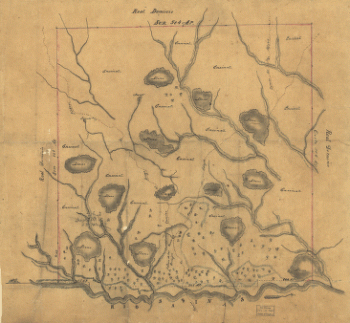
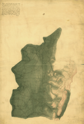
Map of Las Ormigas Grant, Sabine and DeSoto Parishes, Louisiana
$17.95 – $47.95 -
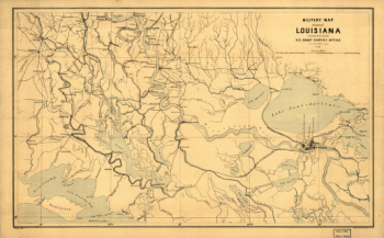
Military map of part of Louisiana
$17.95 – $47.95 -
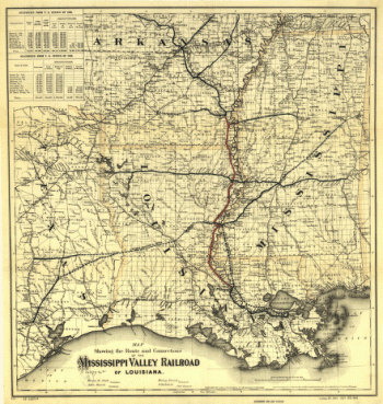
Louisiana.
$17.95 – $47.95 -
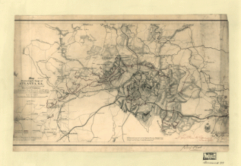
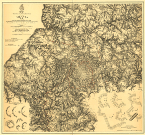
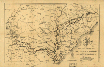
Map illustrating the siege of Atlanta, Ga.
$17.95 – $47.95 -
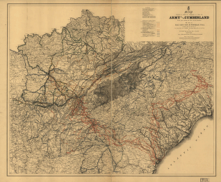
Army of the Cumberland campaigns during the War of the Rebellion
$17.95 – $47.95 -
Map of the Confederate States of America. [1861-65]
$17.95 – $47.95 -
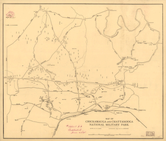
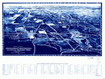
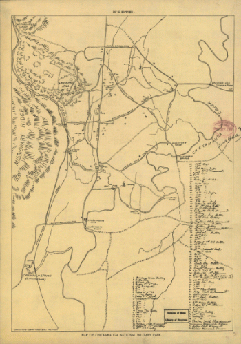
Map of Chickamauga and Chattanooga National Military Park
$17.95 – $47.95 -
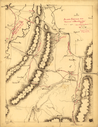
Atlanta campaign-1864. 'Rossville' to 'Snake Creek Gap.'
$17.95 – $47.95 -
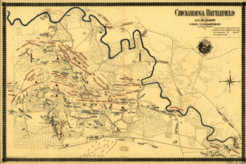
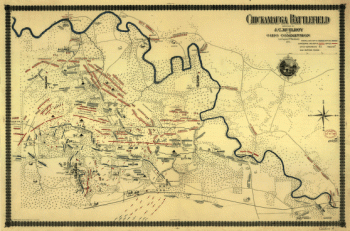
Chickamauga battlefield. Accompanies The battle of Chickamauga
$17.95 – $47.95 -
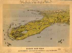
Birds eye view of Florida and part of Georgia and Alabama
$17.95 – $47.95 -
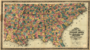
Railway and county map of the Southern States
$17.95 – $47.95 -
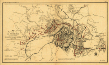
Map illustrating the siege of Atlanta, Ga.
$17.95 – $47.95 -
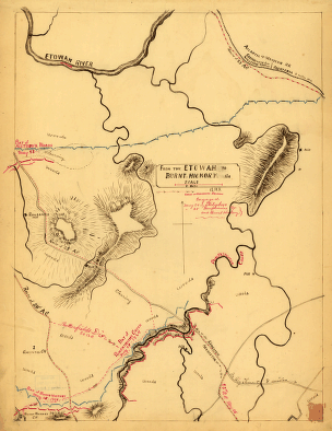
From the Etowah to Burnt-Hickory, Ga.
$17.95 – $47.95 -
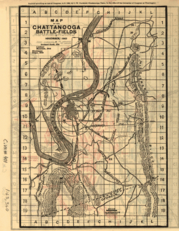
Chattanooga battle-fields, November, 1863
$17.95 – $47.95 -
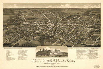
Thomasville, Ga. county-seat of Thomas-County 1885
$17.95 – $47.95 -
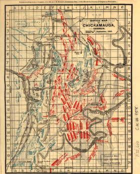
Chickamauga battlefield
$17.95 – $47.95 -
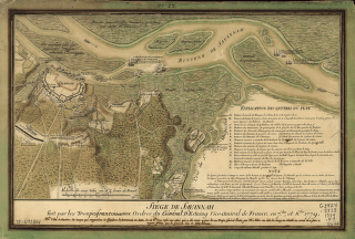
Siège de Savannah
$17.95 – $47.95 -
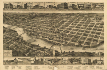
Perspective map of Columbus, Ga.
$17.95 – $47.95 -
Savannah and its environs.
$17.95 – $47.95 -
Map of Chickamauga National Military Park.
$17.95 – $47.95 -
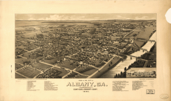
View of the city of Albany, Ga.
$17.95 – $47.95
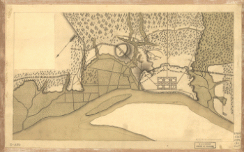
![Plan général du Fort Septentrional du Detour des Anglois, tel qu'il est présentement : [Louisiana]](https://www.ushistoricalarchive.com/wp-content/uploads/nc/data/products/im/sm/la/b14-350x178.gif)
![Map of the Confederate States of America. [1861-65]](https://www.ushistoricalarchive.com/wp-content/uploads/nc/data/products/im/sm/ga/b75-350x492.gif)