State Maps
-

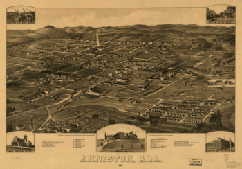
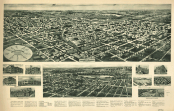
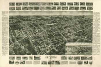
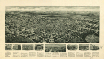
Anniston, Ala. 1887. Beck & Pauli Lith. Co.
$17.95 – $47.95 -
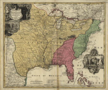
Amplissima regionis Mississipi seu provinciæ Ludovicianæ â R.P.
$17.95 – $47.95 -
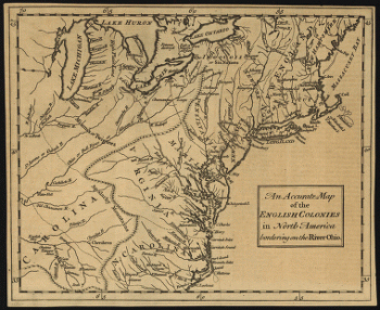
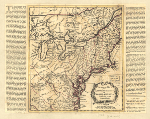
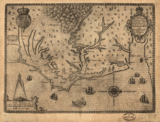
Americæ pars, nunc Virginia dicta : primum ab Anglis inuenta
$17.95 – $47.95 -
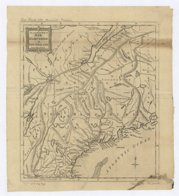
America septentrionalis oder Mitternächtiger Theil von America
$17.95 – $47.95 -
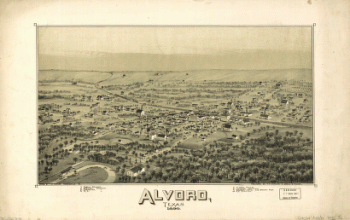
Alvord, Texas
$17.95 – $47.95 -
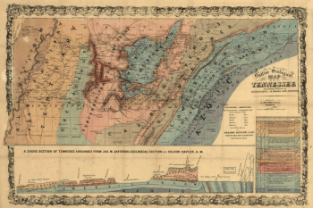
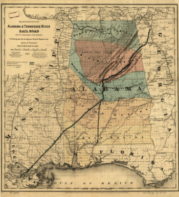
Alabama & Tennessee River Rail Road and its proposed extensions
$17.95 – $47.95 -
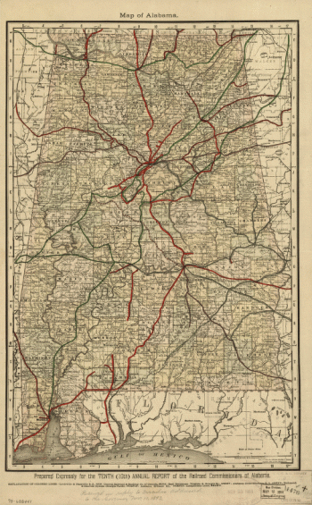
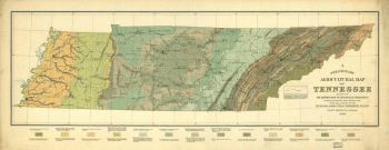
Alabama
$17.95 – $47.95 -
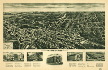
Aeroview of Westwood, New Jersey 1924.
$17.95 – $47.95 -
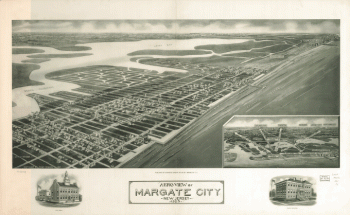
Aeroview of Margate City, New Jersey 1925.
$17.95 – $47.95 -
Aero-view of Valley Stream, Long Island 1924.
$17.95 – $47.95 -
Aero-view of Somers-Point 1925, New Jersey. Drawn by R. Cinquin.
$17.95 – $47.95 -
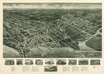
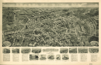
Aero-view of Farmingdale, Nassau County, Long Island, N.Y. 1925.
$17.95 – $47.95 -
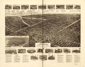
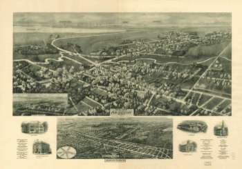
Aero-view of Amityville, Suffolk County, Long Island, N.Y. 1925.
$17.95 – $47.95 -
Aero-view of Absecon, New Jersey 1924.
$17.95 – $47.95 -
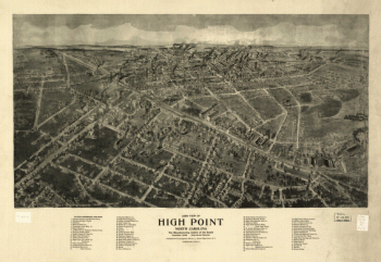
Aero view of High Point, North Carolina by J. J. Farris.
$17.95 – $47.95 -
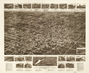
Aero view of Hammonton, New Jersey 1926.
$17.95 – $47.95 -
Aero view of Egg Harbor City, New Jersey.
$17.95 – $47.95 -
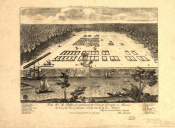
A view of Savannah as it stood the 29th of March 1734.
$17.95 – $47.95 -
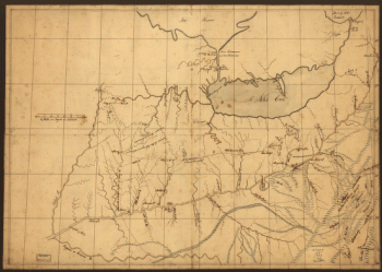
A trader's map of the Ohio country before 1753.
$17.95 – $47.95 -
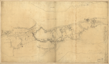
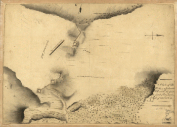
A tracing relating to Fort Washington or Knyphausen.
$17.95 – $47.95 -
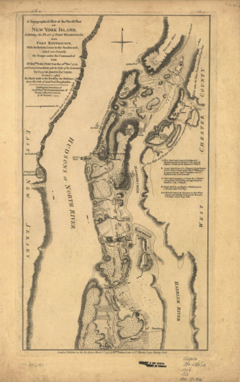
A topographical map of the northn. part of New York Island
$17.95 – $47.95 -
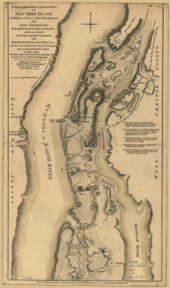
A topographical map of the northn. part of New York Island
$17.95 – $47.95 -
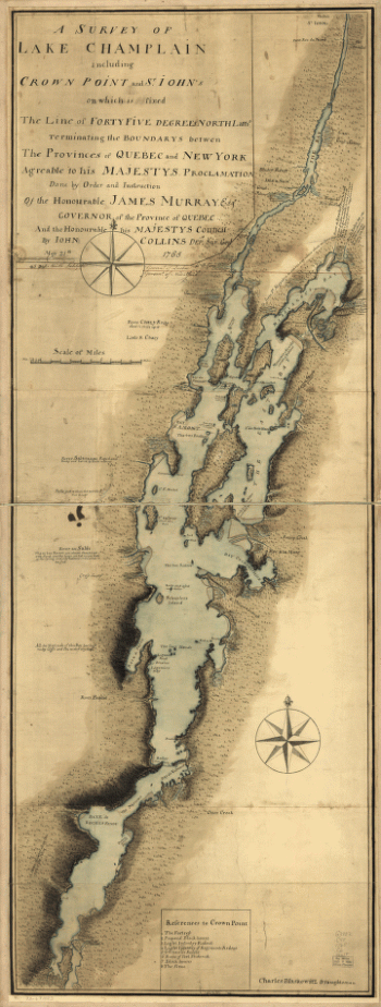
A survey of Lake Champlain including Crown Point and St. Iohn's
$17.95 – $47.95 -
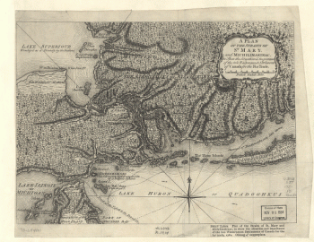
A Plan of the Straits of St. Mary, and Michilimakinac
$17.95 – $47.95 -
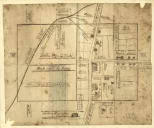
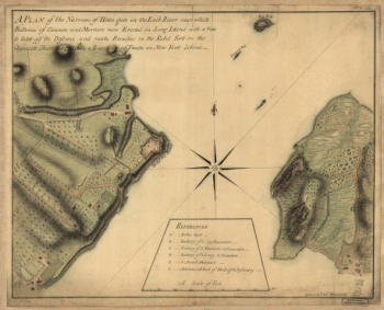
A plan of the Narrows of Hells-gate in the East River
$17.95 – $47.95 -
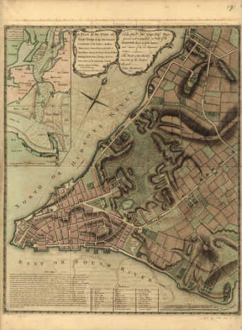
A plan of the city of New-York & its environs to Greenwich
$17.95 – $47.95 -
A plan of the city of New-York & its environs to Greenwich
$17.95 – $47.95 -
A plan of the city of New-York & its environs to Greenwich
$17.95 – $47.95 -
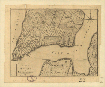
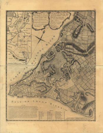
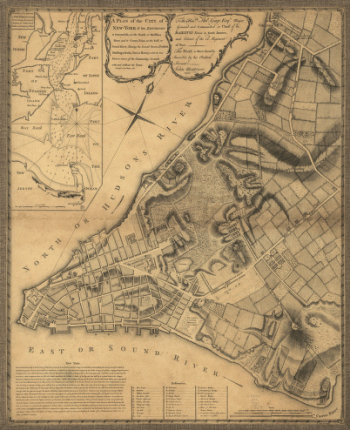
A plan of the city and environs of New York in North America.
$17.95 – $47.95 -
A plan of the city and environs of New York in North America.
$17.95 – $47.95


![A plan of the city of New York from an actual survey, anno Domini, M[D]CC,LV by F. Maerschalck, city surveyor.](https://www.ushistoricalarchive.com/wp-content/uploads/nc/data/products/im/sm/nyc/b16-350x192.gif)