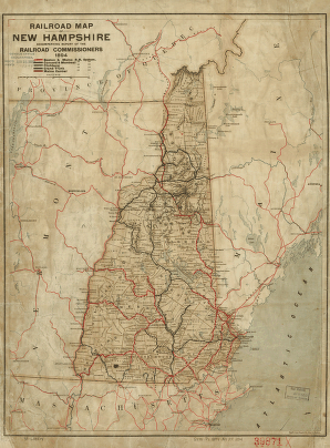
State Maps
-

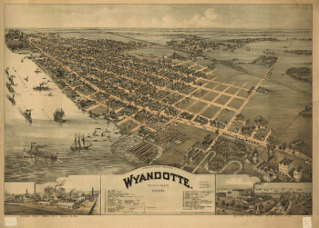
Wyandotte, Michigan 1896. Drawn by T. M. Fowler.
$17.95 – $47.95 -
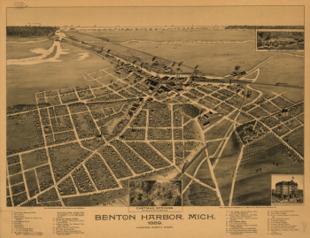
nton Harbor, Mich. 1889.
$17.95 – $47.95 -
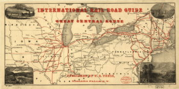
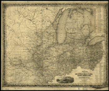
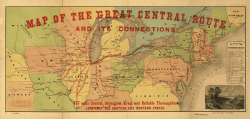
International rail road guide of the Great Central Route.
$17.95 – $47.95 -
Map of the Great Central Route and its connections
$17.95 – $47.95 -
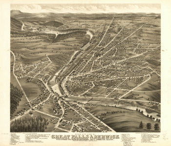
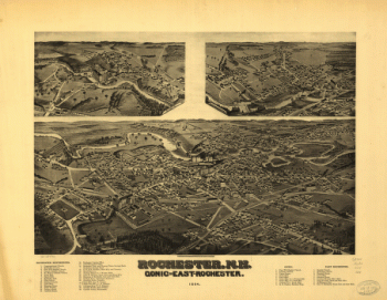
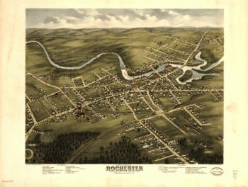
Rochester, N.H., Gonic and East-Rochester, 1884. H. Wellge, del.
$17.95 – $47.95 -
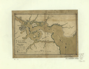
Plan du port de Portsmouth levé à vue.
$17.95 – $47.95 -
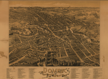
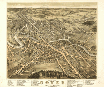
Dover, Stafford County, New Hampshire 1888.
$17.95 – $47.95 -
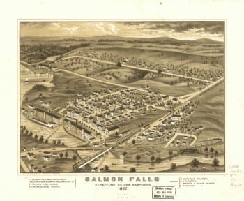
Salmon Falls, Strafford Co., New Hampshire 1877.
$17.95 – $47.95 -
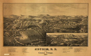
Antrim, N.H. and Clinton Village.
$17.95 – $47.95 -
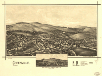
Greenville, N.H. 1886. Burleigh Lith. Establishment.
$17.95 – $47.95 -
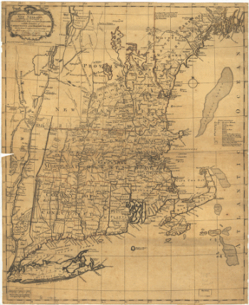
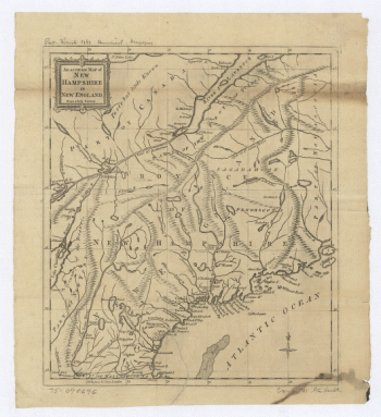
The most inhabited part of New England
$17.95 – $47.95 -
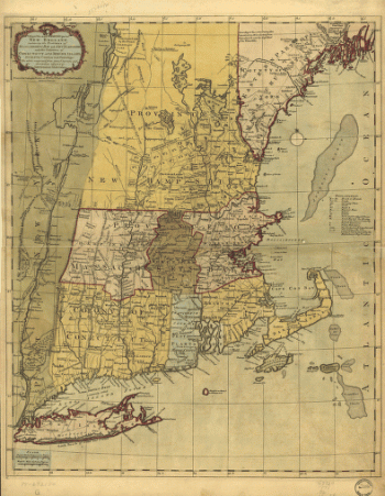
The most inhabited part of New England
$17.95 – $47.95 -
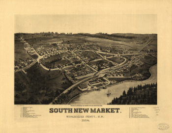
South-New-Market, Rockingham County, N.H. 1884.
$17.95 – $47.95
![Panoramic view of the city of Jackson, Michigan 1881. [By] A. Ruger. Beck & Pauli Lith.](https://www.ushistoricalarchive.com/wp-content/uploads/nc/data/products/im/sm/mi/b36-350x228.gif)

![Franklin and Franklin Falls, N.H., Merrimack County, 1884. [Drawn by] H. Wellge.](https://www.ushistoricalarchive.com/wp-content/uploads/nc/data/products/im/sm/nh/b21-350x263.gif)