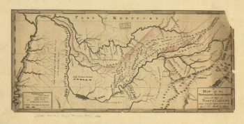
Tennessee
-
![From Mitchelsville [sic] to Gallatin--Sumner Co., Tenn., 1862](https://www.ushistoricalarchive.com/wp-content/themes/savoy/assets/img/placeholder.png)
From Mitchelsville [sic] to Gallatin–Sumner Co., Tenn., 1862
$17.95 – $47.95 -
Franklin, Tennessee
$17.95 – $47.95 -
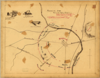
Field works at Franklin, Tenn.
$17.95 – $47.95 -
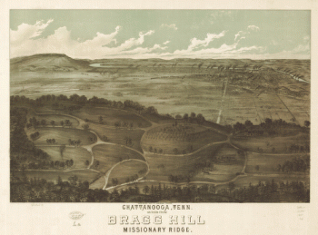
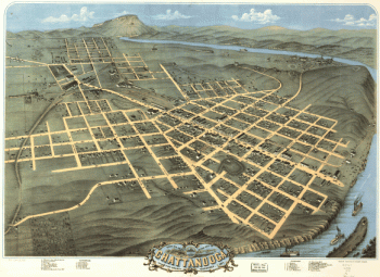
Chattanooga, Tenn. as seen from Bragg Hill, Missionary Ridge
$17.95 – $47.95 -
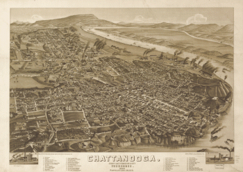
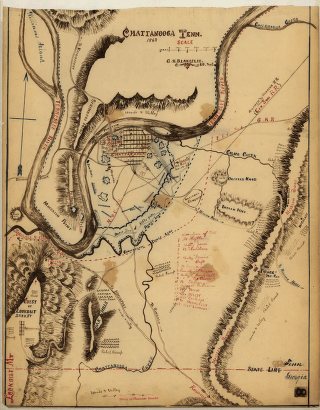
Chattanooga Tenn. 1863 / G.H. Blakeslee, U.S. Top. Eng.
$17.95 – $47.95 -
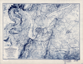
Chattanooga and surrounding battlefields [By Reginald] Purse.
$17.95 – $47.95 -
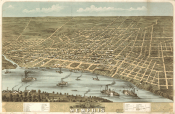
Bird's eye view of the city of Memphis, Tennessee 1870
$17.95 – $47.95 -
Battlefields of Chattanooga, movement against Orchard Knob
$17.95 – $47.95 -
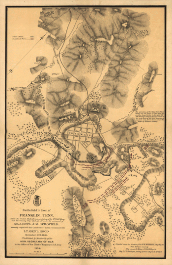
Battlefield in front of Franklin, Ten. November 30th, 1864
$17.95 – $47.95 -
Battlefield in front of Franklin, Ten. November 30th, 1864
$17.95 – $47.95 -
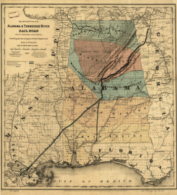
Alabama & Tennessee River Rail Road and its proposed extensions
$17.95 – $47.95 -
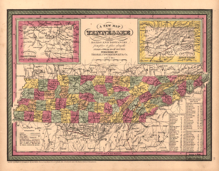
A new map of Tennessee
$17.95 – $47.95
![General Buell's map of the battle-field of Shiloh. [April 6-7, 1862]](https://www.ushistoricalarchive.com/wp-content/uploads/nc/data/products/im/sm/tn/b67-350x287.gif)
![From Mitchelsville [sic] to Gallatin--Sumner Co., Tenn., 1862](https://www.ushistoricalarchive.com/wp-content/uploads/nc/data/products/im/sm/tn/b51-350x273.gif)


![Chattanooga and surrounding battlefields [By Reginald] Purse.](https://www.ushistoricalarchive.com/wp-content/uploads/nc/data/products/im/sm/tn/b26-350x146.gif)

![Battle of Pittsburgh Landing [i.e., Shiloh] Engraved for 'Grant and his campaigns.' [April 6-7, 1862]](https://www.ushistoricalarchive.com/wp-content/uploads/nc/data/products/im/sm/tn/b85.gif)