Texas
-

State of Texas
$17.95 – $47.95 -
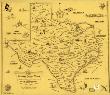
Literary map of Texas. Compiled Sept. 25, 1955
$17.95 – $47.95 -
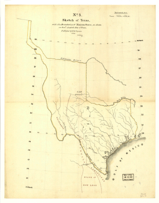
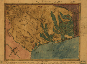
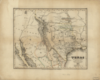
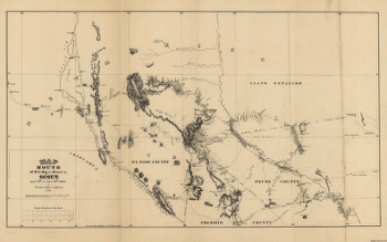
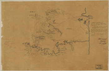
Sketch of Texas with the boundaries of Mexican States
$17.95 – $47.95 -
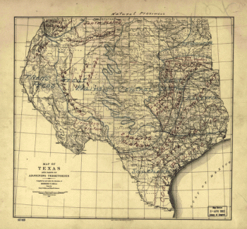
Natural provinces : Texas
$17.95 – $47.95 -
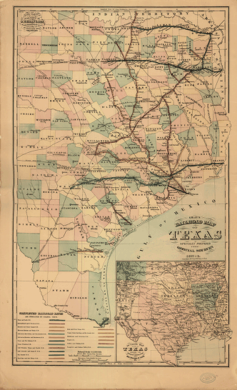
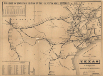
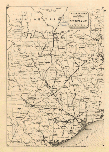
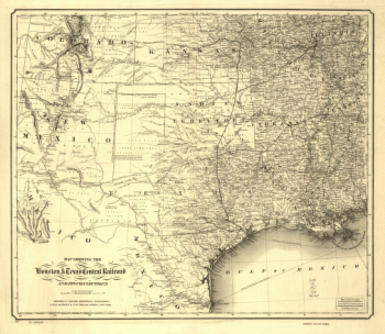
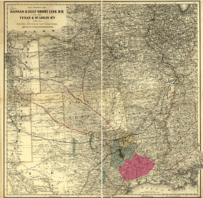
Texas railroads
$17.95 – $47.95 -
Gray's railroad map of Texas
$17.95 – $47.95 -
Mapa topográfico de la provincia de Texas
$17.95 – $47.95 -
Neue Karte de Staates Texas für 1881
$17.95 – $47.95 -
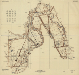
Tarrant County, Trinity River, Fort Worth sheet
$17.95 – $47.95 -
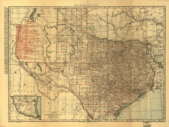
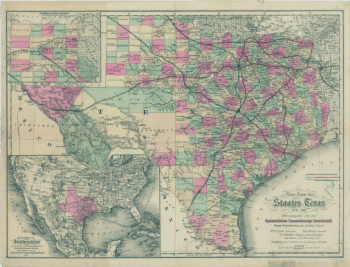
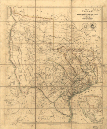
Map of Texas
$17.95 – $47.95 -
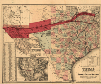
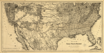
Texas and Pacific Railway and its connections
$17.95 – $47.95 -
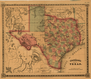
Schönberg's map of Texas.
$17.95 – $47.95 -
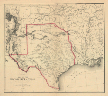
Map of the military dep't of Texas
$17.95 – $47.95 -
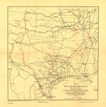
Rio Grande and Pecos Railway
$17.95 – $47.95 -
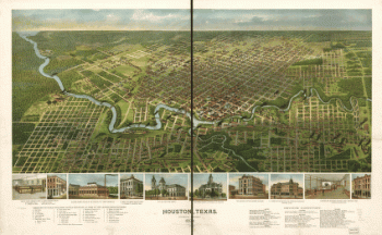
Houston, Texas … 1891
$17.95 – $47.95 -
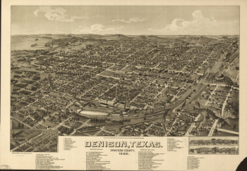
Denison, Texas, Grayson County 1886
$17.95 – $47.95 -
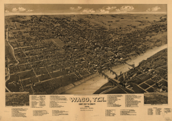
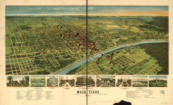
Waco, Texas, county seat of McLennan Cy. 1886
$17.95 – $47.95 -
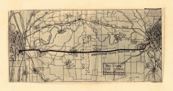
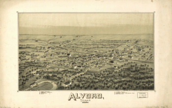
Alvord, Texas
$17.95 – $47.95 -
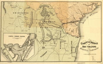
Corpus Christi and Rio Grande Railway Company
$17.95 – $47.95 -
Waco, Texas 1892
$17.95 – $47.95 -
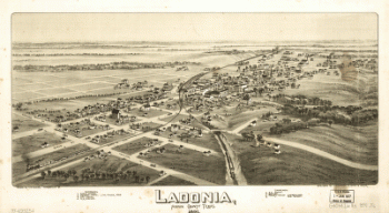
Ladonia, Fannin County, Texas.
$17.95 – $47.95 -
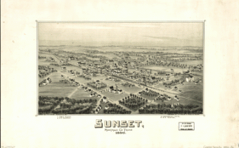
Sunset, Montague Co., Texas, 1890
$17.95 – $47.95 -
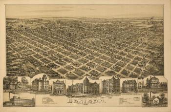
Denison, Grayson County, Texas 1891
$17.95 – $47.95 -
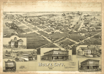
Wolfe City, Texas 1891.
$17.95 – $47.95 -
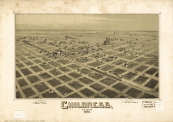
Childress, Texas 1890
$17.95 – $47.95 -
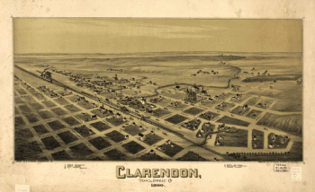
Clarendon, Texas, Donley Co. 1890
$17.95 – $47.95 -
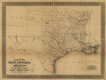
Campaign map of Texas, Louisiana and Arkansas
$17.95 – $47.95 -
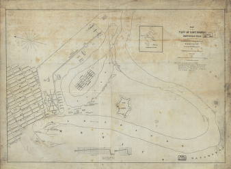
Map of the post of Fort Brown, Brownsville, Texas
$17.95 – $47.95 -
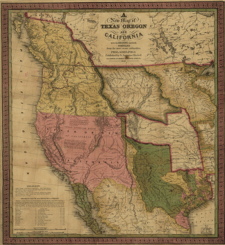
A new map of Texas, Oregon and California.
$17.95 – $47.95 -
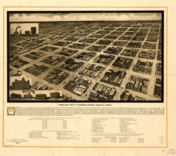
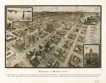
Houston – A modern city
$17.95 – $47.95 -
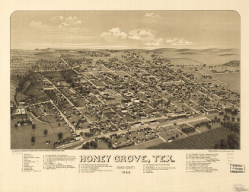
Honey Grove, Tex. Fannin County 1886
$17.95 – $47.95 -
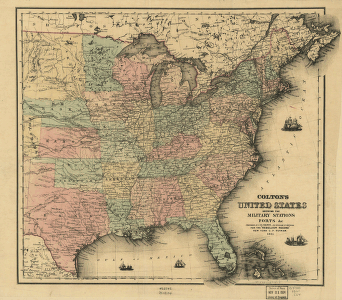
Colton's United States
$17.95 – $47.95