Map of the routes examined and surveyed for the Winchester and Potomac Rail Road, State of Virginia, under the direction of Capt. J. D. Graham, U.S. Top. Eng., 1831 and 1832; surveyed by Lts. A. D. Mackay and E. French, 1st Arty., assistants in 1831, and Lts. E. French and J. F. Izard, assistants in 1832; drawn from the original plot by Lt. Humphreys, 2d Artillery. Topographic map surveyed in strips along the railroad routes. Shows property owners and covers an area between the Shenandoah and Potomac Rivers to Winchester. Includes table showing a summary of the routes surveyed for the Winchester and Potomac Rail Road

Winchester and Potomac Railroad Company
$17.95 – $47.95
SKU: rrsz78
Related products
-

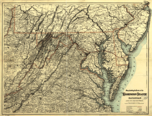
Washington and Atlantic Railroad
$17.95 – $47.95 -
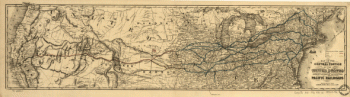
Union Pacific Railroad Company
$17.95 – $47.95 -
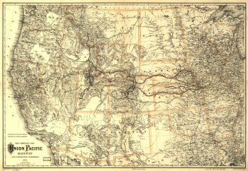
Union Pacific Railway Company
$17.95 – $47.95 -
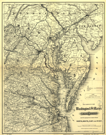
Washington and St
$17.95 – $47.95