-

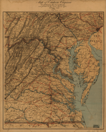
Map of eastern Virginia
$17.95 – $47.95 -
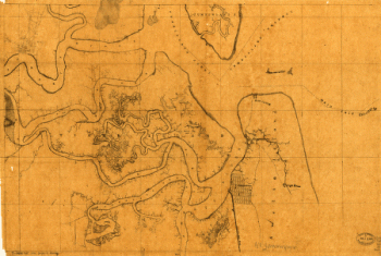
Map of Fernandina region, Florida
$17.95 – $47.95 -
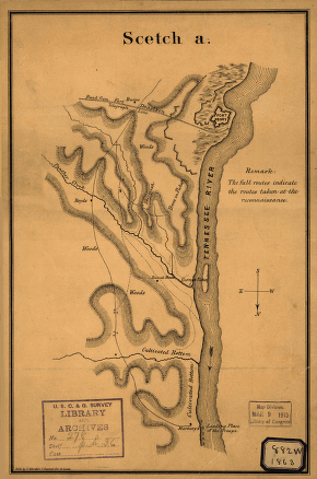
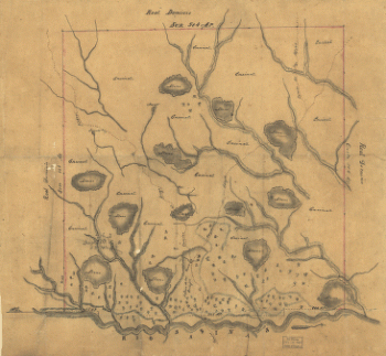
Map of Fort Henry, Tennessee, and environs
$17.95 – $47.95 -
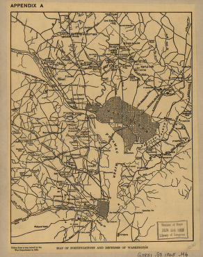
Map of fortifications and defenses of Washington
$17.95 – $47.95 -
Map of fortifications and defenses of Washington
$17.95 – $47.95 -
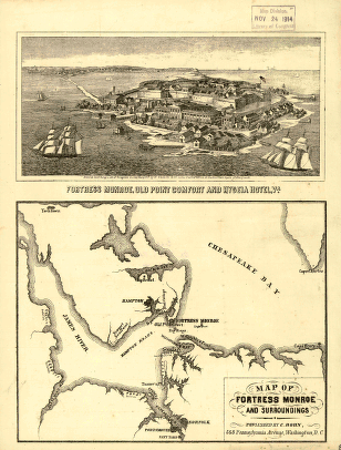
Map of Fortress Monroe and surroundings
$17.95 – $47.95 -
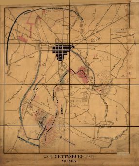
Map of Gettysburg and vicinity
$17.95 – $47.95 -
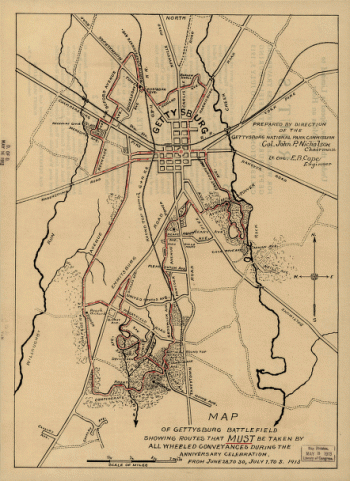
Map of Gettysburg battlefield
$17.95 – $47.95 -
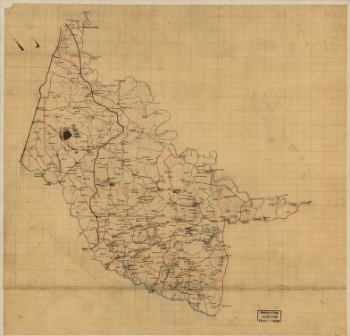
Map of Hanover County, Va.
$17.95 – $47.95 -
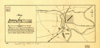
Map of Jackson, Miss: and surroundings
$17.95 – $47.95 -
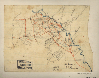
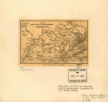
Map of Kentucky and Tennessee
$17.95 – $47.95 -
Map of Kentucky and Tennessee.
$17.95 – $47.95 -
Map of Las Ormigas Grant, Sabine and DeSoto Parishes, Louisiana
$17.95 – $47.95 -
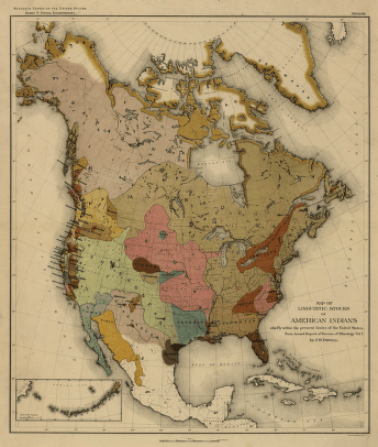
Map of linguistic stocks of American Indians
$17.95 – $47.95 -
Map of Logan county, Ohio
$17.95 – $47.95 -
Map of Logan county, Ohio
$17.95 – $47.95 -
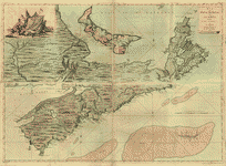
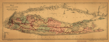
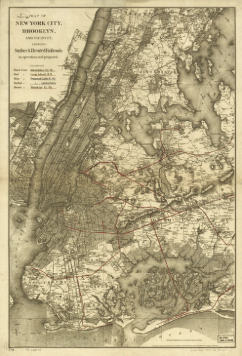
Map of Long Island showing the Long Island Railroad.
$17.95 – $47.95 -
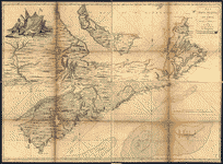
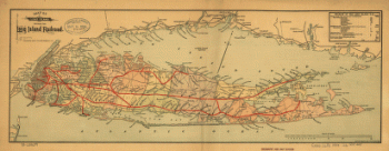
Map of Long Island showing the Long Island Railroad.
$17.95 – $47.95 -
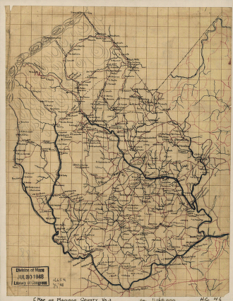
Map of Madison County, Va.
$17.95 – $47.95 -
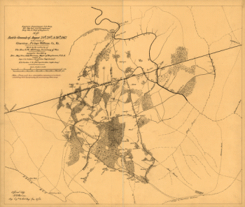
Map of Manassas battle-grounds
$17.95 – $47.95 -
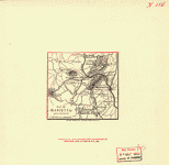
Map of Marietta and vicinity
$17.95 – $47.95 -
Map of Montgomery County
$17.95 – $47.95 -
Map of Montgomery County, Va.
$17.95 – $47.95 -
Map of operations of the Yazoo Pass expedition
$17.95 – $47.95 -
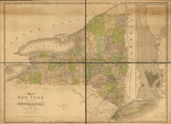
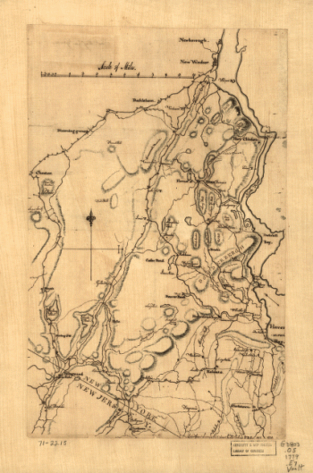
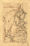
Map of Orange and Rockland counties area of New York
$17.95 – $47.95 -
Map of Orange and Rockland counties area of New York
$17.95 – $47.95 -
Map of part of Wythe County, Va
$17.95 – $47.95 -
Map of parts of Orange, Louisa, and Spotsylvania counties
$17.95 – $47.95 -
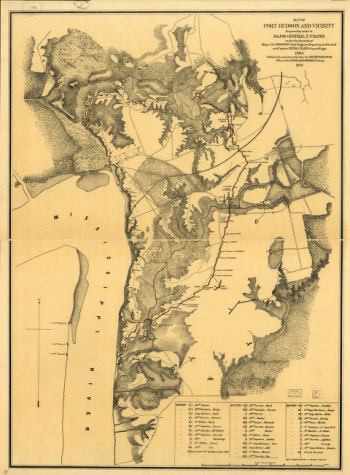
Map of Port Hudson and vicinity
$17.95 – $47.95 -
Map of portions of Virginia and Maryland
$17.95 – $47.95 -
Map of portions of Virginia and Maryland
$17.95 – $47.95 -
Map of portions of Virginia, West Virginia, and Maryland
$17.95 – $47.95 -
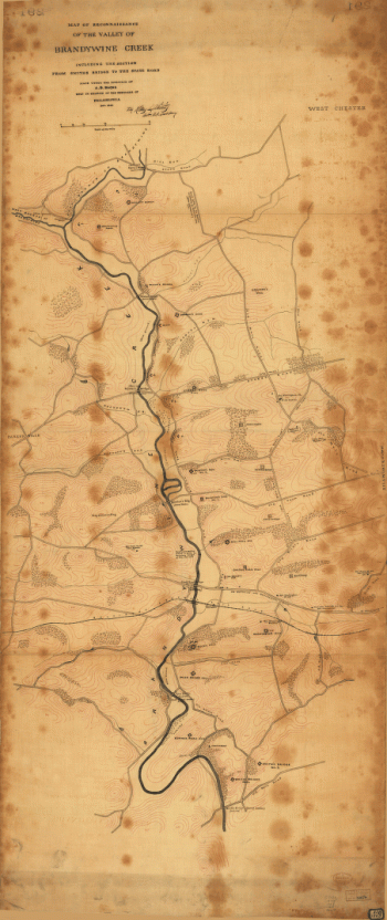
Map of reconnaissance of the valley of Brandywine Creek
$17.95 – $47.95 -
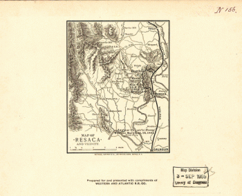
Map of Resaca and vicinity
$17.95 – $47.95 -
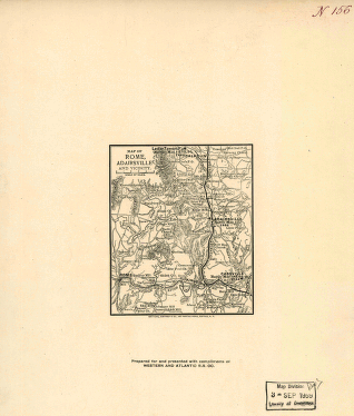
Map of Rome, Adairsville and vicinity
$17.95 – $47.95 -
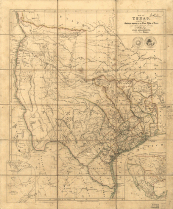
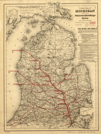
Map of Texas
$17.95 – $47.95


![Map of New York City, Brooklyn, and vicinity, shewing [sic] suburban lines of Long Island Railroad and its connections.](https://www.ushistoricalarchive.com/wp-content/uploads/nc/data/products/im/sm/nyc/b8-350x504.gif)