-

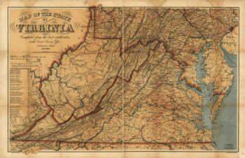
Map of the State of Virginia
$17.95 – $47.95 -
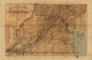
Map of the State of Virginia
$17.95 – $47.95 -
Map of the State of Virginia
$17.95 – $47.95 -
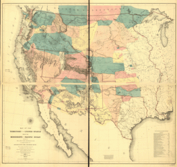
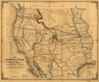
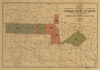
Map of the United States west of the Mississippi
$17.95 – $47.95 -
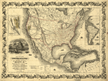
Map of the United States, the British provinces, Mexico &c.
$17.95 – $47.95 -
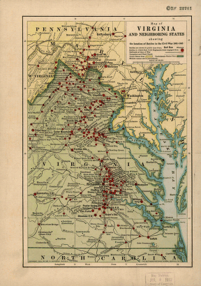
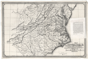
Map of Virginia and neighboring states
$17.95 – $47.95 -
Map of Virginia and neighboring states
$17.95 – $47.95 -
Map of Virginia and neighboring states
$17.95 – $47.95 -
Map of Virginia and neighboring states
$17.95 – $47.95 -
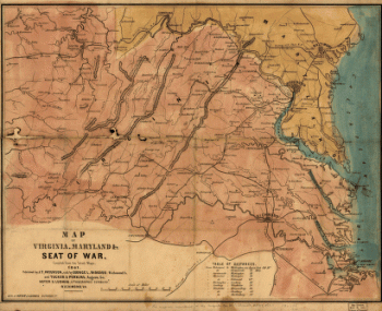
Map of Virginia, Maryland, and Seat of War
$17.95 – $47.95 -
Map of West Florida B Romans, inv delin & in AEre incidit
$17.95 – $47.95 -
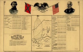
Map showing the battle field at Harrisburg
$17.95 – $47.95 -
Map showing the Bowery Lane area of Manhattan
$17.95 – $47.95 -
Map showing the Bowery Lane area of Manhattan.
$17.95 – $47.95 -
Map showing the Bowery Lane area of Manhattan.
$17.95 – $47.95 -
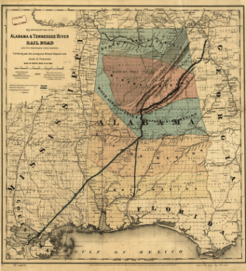
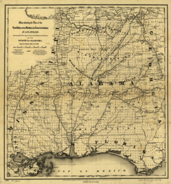
Map showing the line of the Alabama & Tennessee River Rail Road
$17.95 – $47.95 -
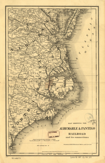
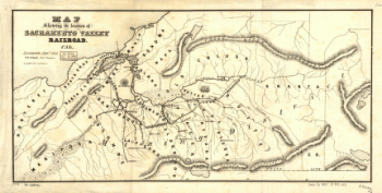
Map showing the location of Sacramento Valley Railroad, Cal.
$17.95 – $47.95 -
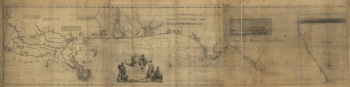
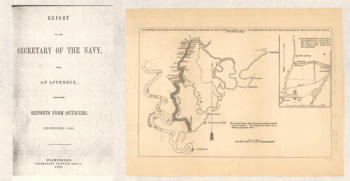
Map showing the route of the late expedition
$17.95 – $47.95 -
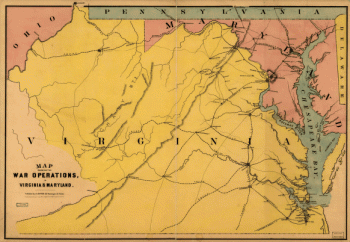
Map showing the war operations, in Virginia & Maryland
$17.95 – $47.95 -
Map showing the west shore of the North or Hudson River
$17.95 – $47.95 -
Mapa del Golfo y costa de la Nueva Espaea
$17.95 – $47.95 -
Mapa topográfico de la provincia de Texas
$17.95 – $47.95 -
Mappa geographica Provinciae Nova Eboraci ab Anglis New-York
$17.95 – $47.95