-


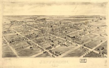
Jefferson OH 1901
$17.95 – $47.95 -
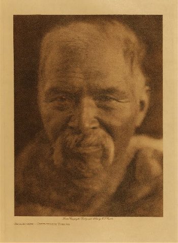
Jeditoh (Navaho) 1904
$17.95 -
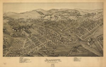
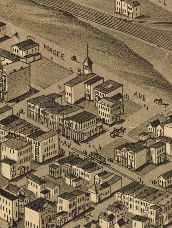
Jeannette PA 1897
$17.95 – $47.95 -
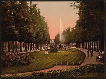
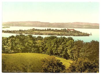
Janssingel, Arnhem, Holland
$17.95 -
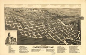
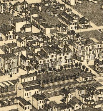
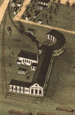
Jamestown ND 1883
$17.95 – $47.95 -
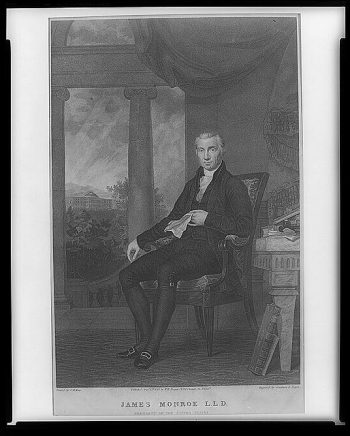
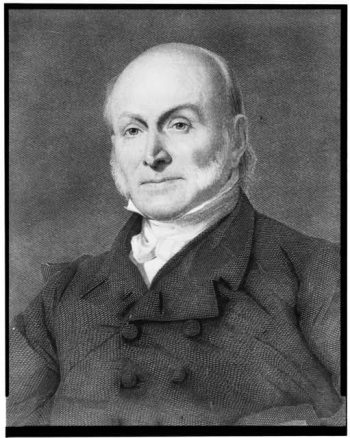
James Monroe, L.L.D., President of the United States
$17.95 – $47.95 -
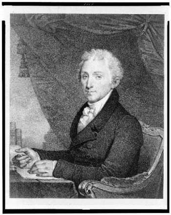
James Monroe
$17.95 – $47.95 -
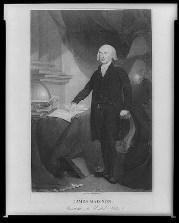
James Madison, President of the United States
$17.95 – $47.95 -
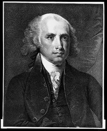
James Madison, fourth President of the United States.
$17.95 – $47.95 -
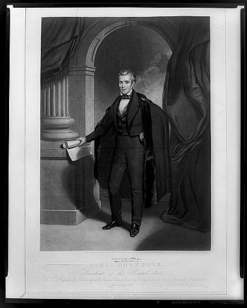
James Knox Polk, President of the United States
$17.95 – $47.95 -
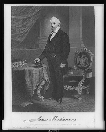
James Buchanan
$17.95 – $47.95 -
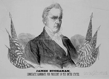
JAMES BUCHANAN
$17.95 – $47.95 -
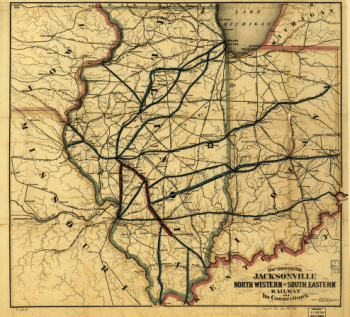
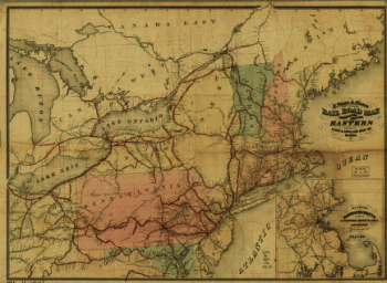
Jacksonville, Northwestern & Southeastern Railway Company
$17.95 – $47.95 -
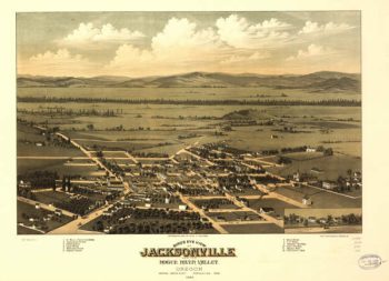
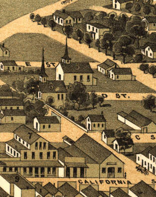
Jacksonville OR 1883
$17.95 – $47.95 -
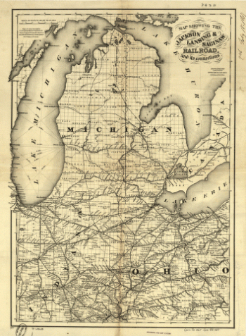
Jackson, Lansing, and Saginaw Railroad
$17.95 – $47.95 -
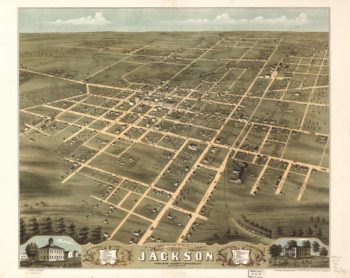
Jackson TN 1870
$17.95 – $47.95 -
J.Q. Adams.
$17.95 – $47.95 -
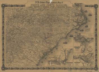
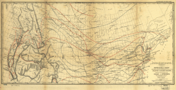
J. H. Colton's topographical map of North and South Carolina
$17.95 – $47.95 -
J. H. Colton's topographical map of North and South Carolina
$17.95 – $47.95 -
J. H. Colton's topographical map of North and South Carolina
$17.95 – $47.95 -
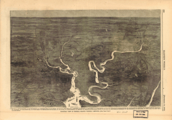
Isometric view of General Grant's Virginia campaign
$17.95 – $47.95 -
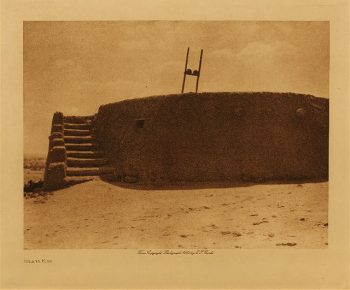
Isleta kiva 1925
$17.95