-

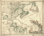
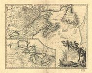
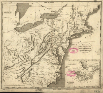
Partie de l'Amerique septent
$17.95 – $47.95 -
Partie de l'Amerique septent
$17.95 – $47.95 -
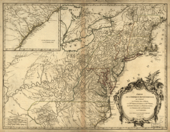
Partie des États-Unis de l'Amérique septentrionale
$17.95 – $47.95 -
Partie occidentale de la Nouvelle France
$17.95 – $47.95 -
Partie occidentale de la Nouvelle France ou Canada
$17.95 – $47.95 -
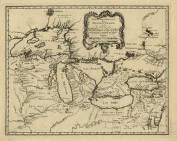
Partie occidentale de la Nouvelle France ou du Canada
$17.95 – $47.95 -
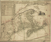
Partie occidentale de la Nouvelle France ou du Canada
$17.95 – $47.95 -
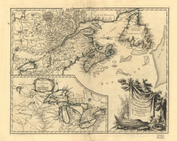
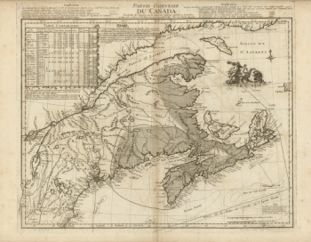
Partie orientale du Canada
$17.95 – $47.95 -
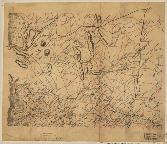
Parts of Caroline, Hanover, and Henrico counties
$17.95 – $47.95 -
Parts of Fauquier, Prince William, and Rappahannock counties
$17.95 – $47.95 -
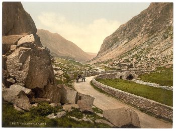
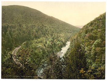
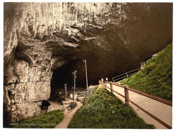
Pass I, Llanberis, Wales
$17.95 -
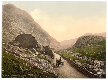
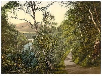
Pass II, Llanberis, Wales
$17.95 -

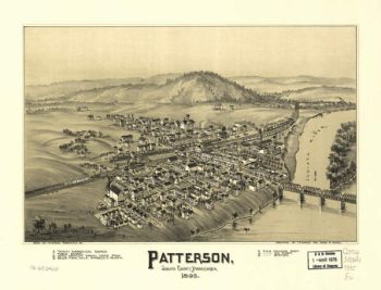
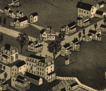
Patterson PA 1895
$17.95 – $47.95 -
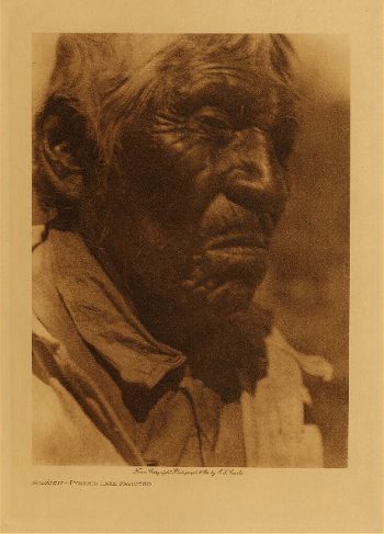
Pavia (Taos) 1905
$17.95 -
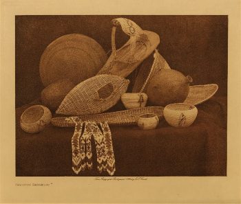
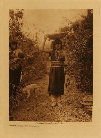
Paviotso basketry 1924
$17.95 -
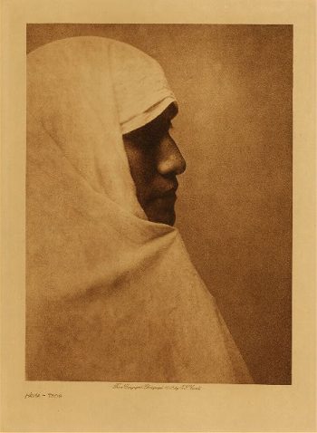
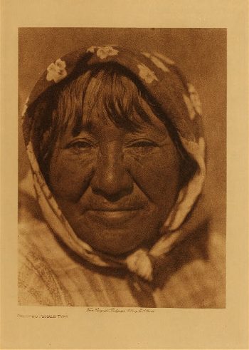
Paviotso female type 1924
$17.95 -
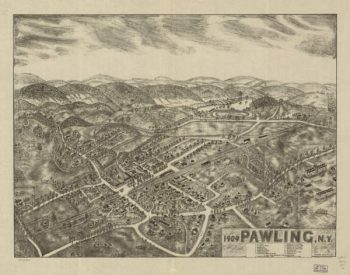
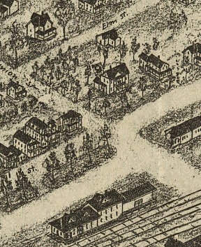
Pawling NY 1909
$17.95 – $47.95 -
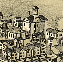
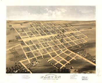
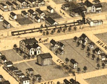
Paxton lIllinois in 1869
$17.95 – $47.95 -
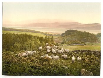
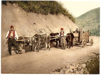
Peace and plenty, England
$17.95 -
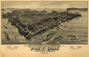
Peaks Island Portand Maine 1886
$17.95 – $47.95 -
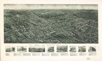
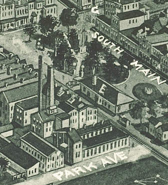
Pearl River NY 1924
$17.95 – $47.95