-

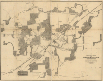
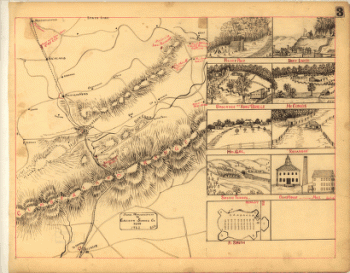
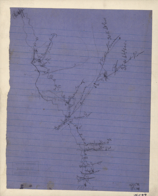
Topographical sketch of the battlefield of Stone's River
$17.95 – $47.95 -
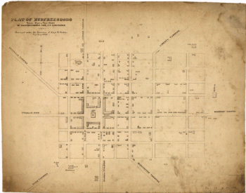
Murfreesboro
$17.95 – $47.95 -
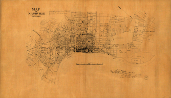
Nashville, Tennessee
$17.95 – $47.95 -
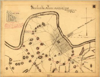
Topographical map of Nashville, Tenn.
$17.95 – $47.95 -
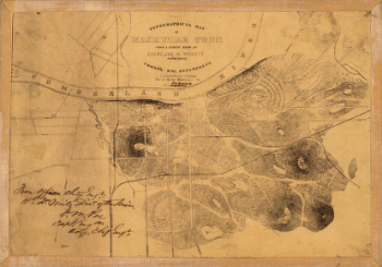
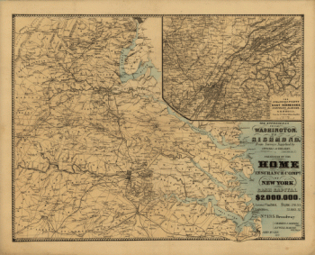
Nashville and vicinity in 1863
$17.95 – $47.95 -
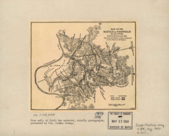
The battle of Nashville
$17.95 – $47.95 -
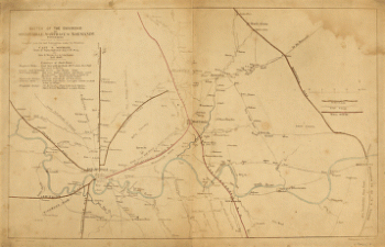
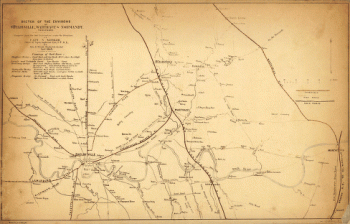
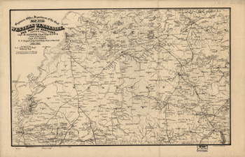
The environs of Shelbyville, Wartrace & Normandy, Tennessee
$17.95 – $47.95 -
The environs of Shelbyville, Wartrace & Normandy
$17.95 – $47.95 -
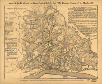
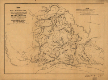
General Buell's map of the battle-field of Shiloh
$17.95 – $47.95 -
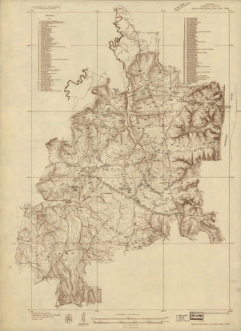
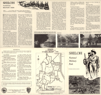
Shiloh National Military Park, Tenn.
$17.95 – $47.95 -
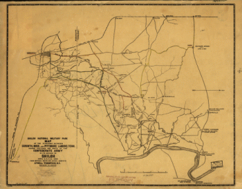
Shiloh National Military Park
$17.95 – $47.95 -
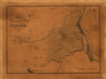
Map of the battle field of Shiloh
$17.95 – $47.95 -
The field of Shiloh, near Pittsburgh Landing, Tenn.
$17.95 – $47.95 -
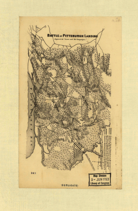
Battle of Pittsburgh Landing – Shiloh
$17.95 – $47.95 -
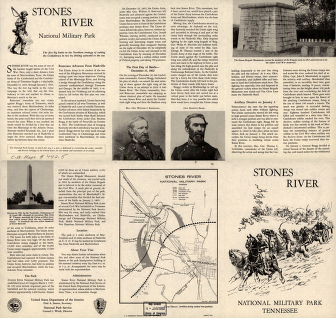
Stones River National Military Park, Tennessee
$17.95 – $47.95 -
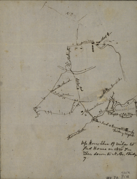
From Mitchelsville to Gallatin–Sumner Co.
$17.95 – $47.95 -
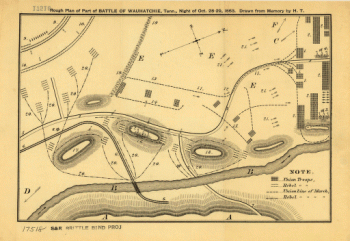
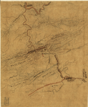
Rough plan of part of battle of Wauhatchie, Tenn.
$17.95 – $47.95 -
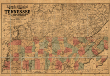
Lloyd's official map of the State of Tennessee
$17.95 – $47.95 -
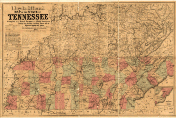
Lloyd's official map of the State of Tennessee 2
$17.95 – $47.95 -
Western Tennessee, and part of Kentucky
$17.95 – $47.95 -
The approaches from Washington to Richmond
$17.95 – $47.95 -
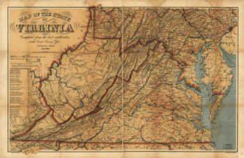
Map of the State of Virginia
$17.95 – $47.95 -
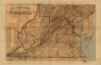
Map of the State of Virginia
$17.95 – $47.95 -
Route of the New River R.R.
$17.95 – $47.95 -
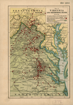
Map of Virginia and neighboring states
$17.95 – $47.95 -
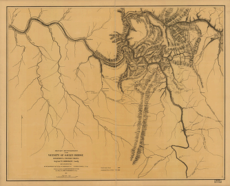
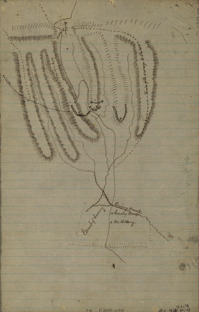
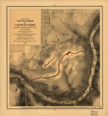
Military reconnaissance in the vicinity of Gauley Bridge
$17.95 – $47.95 -
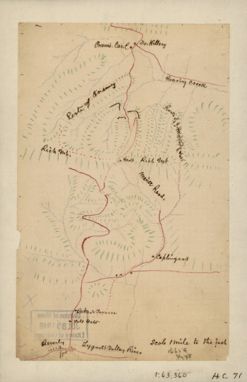
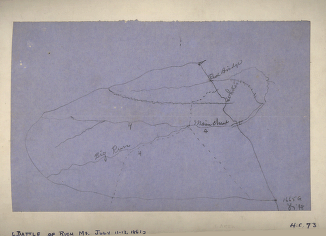
Rich Mountain battlefield, July 11-12, 1861
$17.95 – $47.95 -
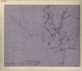
Sketch of the battle of Rich Mountain
$17.95 – $47.95 -
Battle of Rich Mt.
$17.95 – $47.95 -
Area of the battle of Rich Mountain
$17.95 – $47.95 -
Rough sketch of the Rich Mountain battle area
$17.95 – $47.95 -
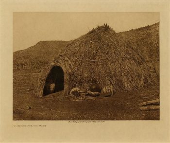
Primitive Apache home 1903
$17.95 -
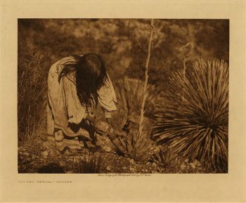
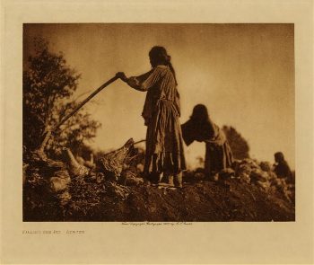
Cutting mescal (Apache) 1906
$17.95 -
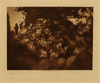
Mescal (Apache) 1906
$17.95 -
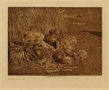
Apache still life 1903
$17.95 -
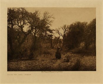
Among the oaks (Apache) 1903
$17.95 -
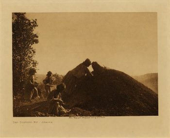
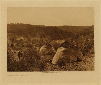
Mescal camp (Apache) 1903
$17.95 -
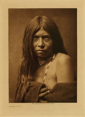
Apache girl 1906
$17.95 -
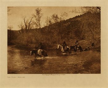
The ford (Apache) 1903
$17.95 -
Apache medicine-man 1907
$17.95 -
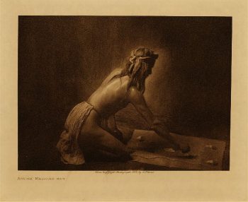
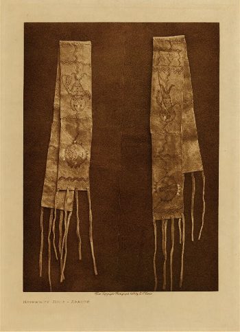
Maternity belt (Apache) 1907
$17.95
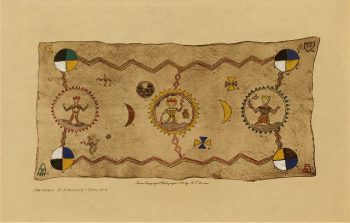
![Explanation of Plate [Sacred Buckskin]](https://www.ushistoricalarchive.com/wp-content/uploads/nc/data/products/ii/cai/ct01/ct01024r-350x243.jpg)