-


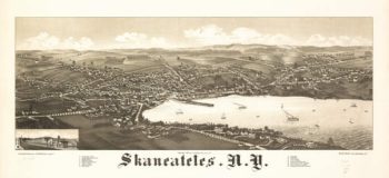
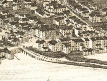
Skaneateles NY 1884
$17.95 – $47.95 -
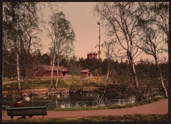
Skansen, Stockholm, Sweden
$17.95 -
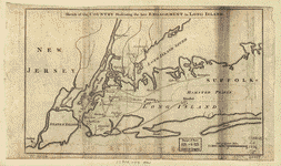
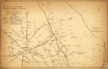
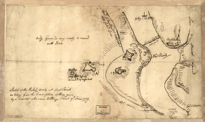
Skecth [sic] of the road from Kings Bridge to White Plains.
$17.95 – $47.95 -
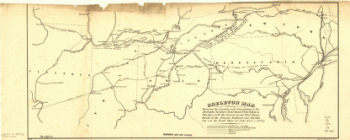
Skeleton map
$17.95 – $47.95 -
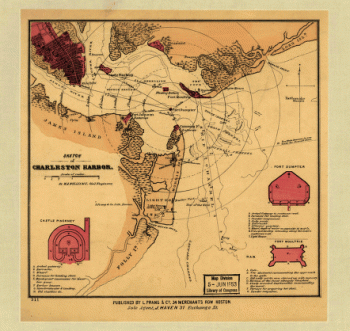
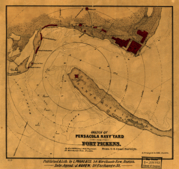
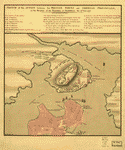
Sketch of Charleston Harbor
$17.95 – $47.95 -
Sketch of Charleston Harbor By W. A. Williams, Civil Engineer.
$17.95 – $47.95 -
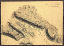
Sketch of Forts Clinton & Montgomery, stormed the 6th Oct 1777
$17.95 – $47.95 -
Sketch of Haddonfield
$17.95 – $47.95 -
Sketch of Haddonfield
$17.95 – $47.95 -
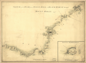
Sketch of Haddonfield, March 1778
$17.95 – $47.95 -
Sketch of parts of Albemarle and Nelson counties, Virginia
$17.95 – $47.95 -
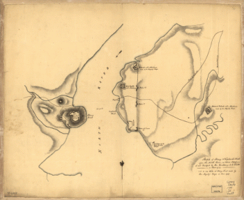
Sketch of rebel fortifications at Hayne's Bluff
$17.95 – $47.95 -
Sketch of roads and streams in Highland County, Va.
$17.95 – $47.95 -
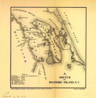
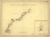
Sketch of Roanoke Island, N.C.
$17.95 – $47.95 -
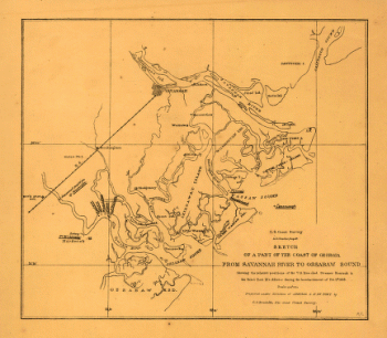
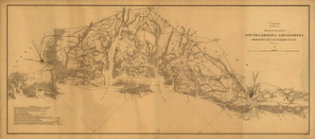
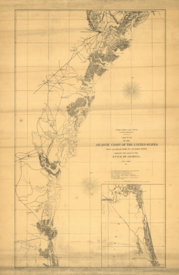
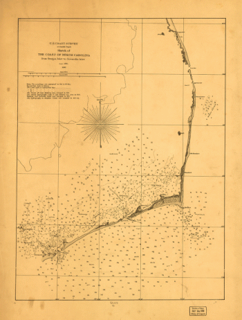
Sketch of sea coast of South Carolina and Georgia
$17.95 – $47.95 -
Sketch of Stoney & Verplank's Points upon the North River
$17.95 – $47.95 -
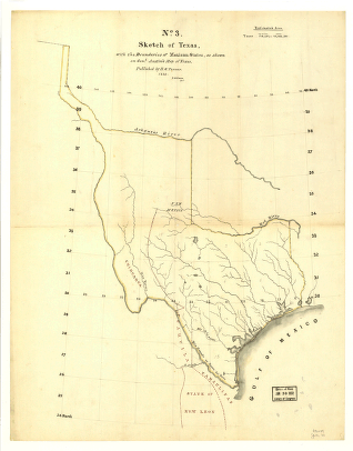
Sketch of Texas with the boundaries of Mexican States
$17.95 – $47.95 -
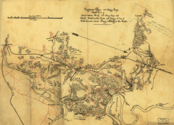
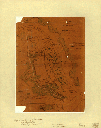
Sketch of the battle field of Fredericksburg
$17.95 – $47.95 -
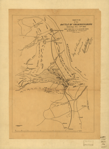
Sketch of the battle of Fredericksburg
$17.95 – $47.95 -
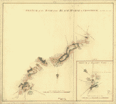
Sketch of the battle of Rich Mountain
$17.95 – $47.95 -
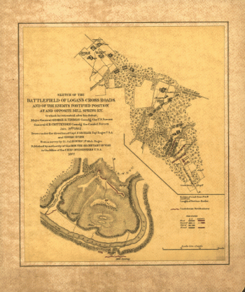
Sketch of the battlefield of Logan's Cross Roads
$17.95 – $47.95 -
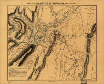
Sketch of the battles of Chattanooga
$17.95 – $47.95 -
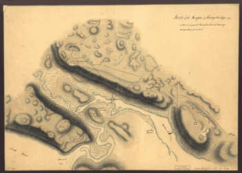
Sketch of the Heights of Kingsbridge 1777
$17.95 – $47.95 -
Sketch of the Hessian attack on Fort Washington
$17.95 – $47.95 -
Sketch of the rebel works at West Point
$17.95 – $47.95 -
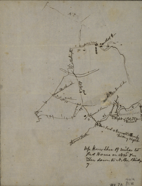
Sketch of the road from Black Horse to Crosswick
$17.95 – $47.95 -
Sketch of the road from Black Horse to Crosswick
$17.95 – $47.95
![Skecth [sic] of the road from Kings Bridge to White Plains.](https://www.ushistoricalarchive.com/wp-content/uploads/nc/data/products/im/sm/ny/b29-350x507.gif)