Home
All Products
Historic Maps
American Indian Maps
Birds Eye View Maps
Civil War Maps
Panoramic Maps
Railroad Maps
Revolutionary War Maps
State Maps
Historic Prints
Civil War Prints
Civil War Posters
Historic Portraits
Presidential Portraits
Contact Us
0
0
press
Enter
to search
Showing all results:
No products found.
Search
Search Product or SKU
×
Sort By
Default
Price: Low to High
Price: High to Low
Alphabetical
SKU
Categories
All
American Indian Maps
American Indian Photos
Birds Eye View Maps
CD Collections
Civil War Maps
Civil War Posters
Civil War Prints
Panoramic Maps
Photo-chromes
Presidential Portraits
Railroad Maps
Revolutionary War Maps
St. Augustine
State Maps
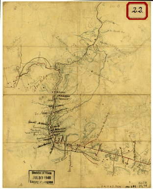
Sketch of the road from Waynesboro toward Staunton – Map 1
$
17.95
–
$
47.95
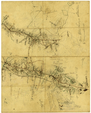
Sketch of the road from Waynesboro toward Staunton – Map 2
$
17.95
–
$
47.95
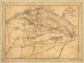
Sketch of the seat of war in Alexandria & Fairfax Counties
$
17.95
–
$
47.95
Sketch of the two breakwaters above Alexandria in the Red River
$
17.95
–
$
47.95
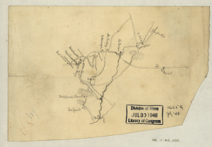
Sketch of the vicinity of Cross Keys, Va.
$
17.95
–
$
47.95
Sketch of the vicinity of McDowell, Va.
$
17.95
–
$
47.95
Sketch of vicinity of Fort Fisher
$
17.95
–
$
47.95
Sketch of West Point.
$
17.95
–
$
47.95
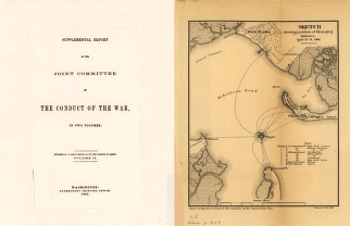
Sketch showing position of besieging batteries
$
17.95
–
$
47.95
Sketch showing position of besieging batteries. [Fort Sumter] April 12-13, 1861 Bowen & Co., lith., Phila.
$
17.95
–
$
47.95
Sketch showing position of Boyd's Neck, Honey Hill, and Devaux' Neck
$
17.95
–
$
47.95
Sketch showing position of Boyd's Neck, Honey Hill, and Devaux' Neck
$
17.95
–
$
47.95
Sketch showing position of Boyd's Neck, Honey Hill, and Devaux' Neck, in Decr. 1864 Bowen & Co., lith., Philada.
$
17.95
–
$
47.95
Sketch showing route of the Burnside expedition [to Roanoke Island, N.C., February 6, 1862]
$
17.95
–
$
47.95
Sketch showing route of the Burnside expedition to Roanoke Island, N.C.
$
17.95
–
$
47.95
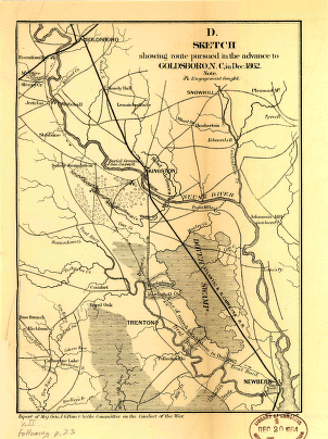
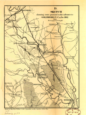
Sketch showing route pursued in the advance to Goldsboro, N.C.
$
17.95
–
$
47.95
Sketch showing route pursued in the advance to Goldsboro, N.C., in Dec. 1862
$
17.95
–
$
47.95
Sketch showing the position of the attacking and defending forces at the siege of Washington, N.C.
$
17.95
–
$
47.95
Sketch showing the positions of the beacons on the Florida reefs
$
17.95
–
$
47.95
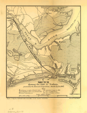
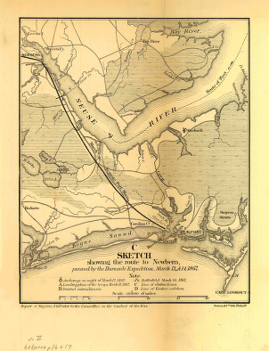
Sketch showing the route to Newbern
$
17.95
–
$
47.95
Sketch showing the route to Newbern, pursued by the Burnside expedition, March 13 & 14, 1862
$
17.95
–
$
47.95
Skidi and Wichita dancers 1927
$
17.95
Skins Wolf (Apsaroke) 1908
$
17.95
Skipton Castle, gateway, Yorkshire, England
$
17.95
Skipton Castle, Yorkshire, England
$
17.95
Skjeggedalsfos, I, Odde, Hardanger Fjord, Norway
$
17.95
Skjeggedalsfos, II, Odde, Hardanger Fjord, Norway
$
17.95
Skokomish baskets 1912
$
17.95
Skuthun (Klickitat) 1910
$
17.95
Slate carvings representing a Haida shaman 1915
$
17.95
Slate quarries, Bethesda, Wales
$
17.95
Sled, Nunivak 1928
$
17.95
Slow Bull's tipi 1907
$
17.95
Slow Bull's wife 1907
$
17.95
Small temple and aqueduct, Cassel (i.e., Kassel), Hesse-Nassau, Germany
$
17.95
Smeerenburg at Danskerne, Spitzbergen, Norway
$
17.95
Snake charmer, Tunis, Tunisia
$
17.95
Snake dancer and “hugger” 1921
$
17.95
Snake jars in the kiva 1906
$
17.95
Snake priest entering the kiva 1921
$
17.95
Snakes and antelopes at Oraibi 1921
$
17.95
Snebrae at Advent Bay, Spitzbergen, Norway
$
17.95
Snohomish WA 1890
$
17.95
–
$
47.95
Snowdon from Pardarn Llyn, Llanberis, Wales
$
17.95
Sodus Point and Southern Railroad
$
17.95
–
$
47.95
Somers Point NJ 1925
$
17.95
–
$
47.95
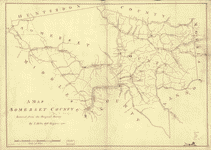
Somerset County
$
17.95
–
$
47.95
Somerset PA 1900
$
17.95
–
$
47.95
1
2
3
…
155
156
157
158
159
160
161
…
206
207
208
Load More
All products loaded.
Search Product or SKU
×
Home
All Products
Historic Maps
American Indian Maps
Birds Eye View Maps
Civil War Maps
Panoramic Maps
Railroad Maps
Revolutionary War Maps
State Maps
Historic Prints
Civil War Prints
Civil War Posters
Historic Portraits
Presidential Portraits
Contact Us
Cart
0
Cart
Close
Updating…
No products in the cart.
Continue shopping