-


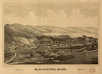
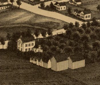
Blackington (N. Adams) MA 1889
$17.95 – $47.95 -
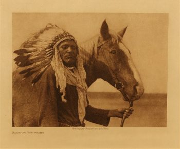
Blackfoot war-bonnet 1926
$17.95 -
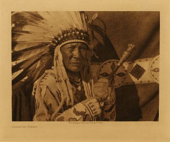
Blackfoot finery 1926
$17.95 -
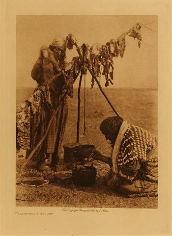
Blackfoot cookery 1926
$17.95 -
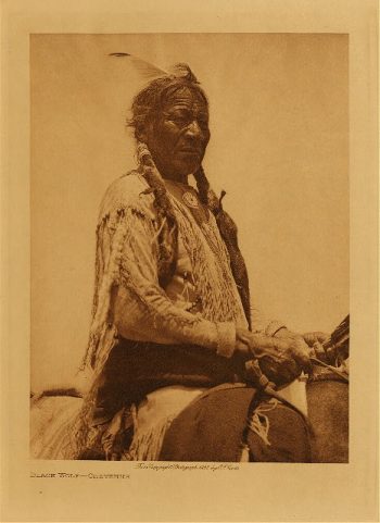
Black Wolf (Cheyenne) 1927
$17.95 -
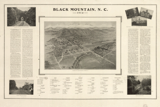
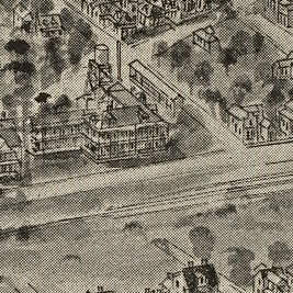
Black Mountain, N.C. 1912.
$17.95 – $47.95 -
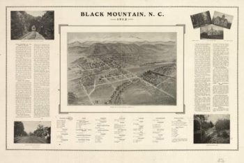
Black Mountain NC 1912
$17.95 – $47.95 -
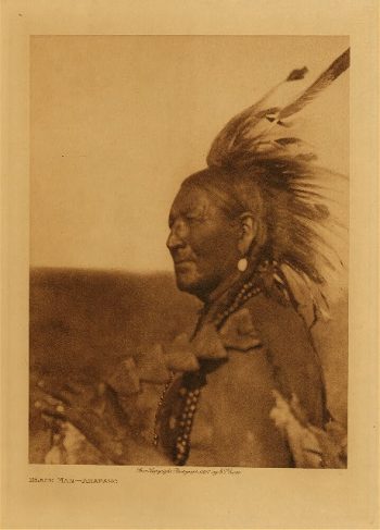
Black Man (Arapaho) 1927
$17.95 -
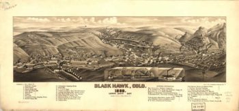
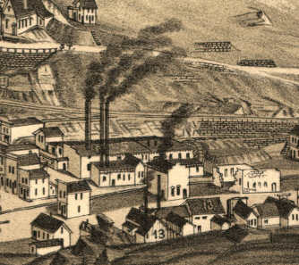
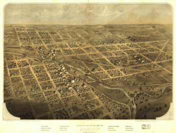
Black Hawk CO in 1882
$17.95 – $47.95 -
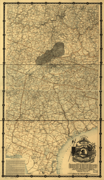
Black Diamond System
$17.95 – $47.95 -
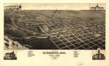
Bismarck ND 1883
$17.95 – $47.95 -
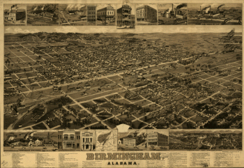
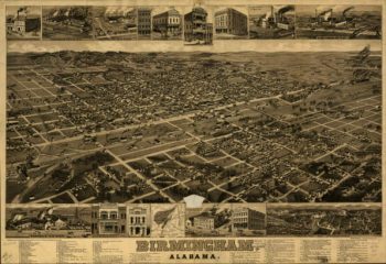
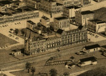
Birmingham, Alabama. H. Wellge, del. Beck & Pauli, litho.
$17.95 – $47.95 -
Birmingham AL in 1885
$17.95 – $47.95 -
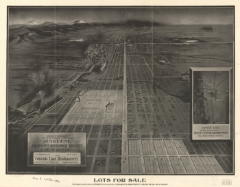
Birdseye view from South Broadway
$17.95 – $47.95 -
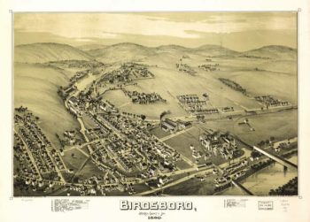
Birdsboro PA 1890
$17.95 – $47.95 -
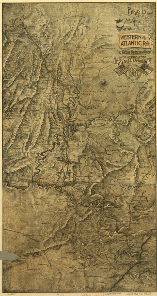
Birds-eye map of the Western and Atlantic R.R
$17.95 – $47.95 -
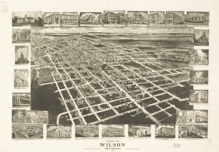
Birds eye view of Wilson, North Carolina 1908.
$17.95 – $47.95 -
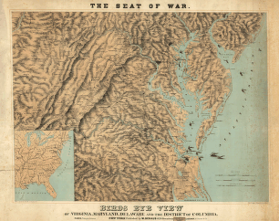
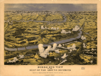
Birds eye view of the seat of war around Richmond
$17.95 – $47.95 -
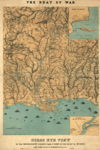
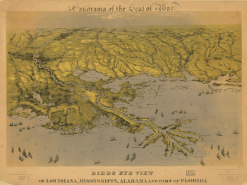
Birds eye view of the Mississippi Valley
$17.95 – $47.95 -
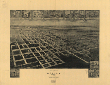
Birds eye view of Ocilla, Georgia 1908.
$17.95 – $47.95 -
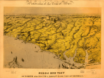
Birds eye view of North and South Carolina and part of Georgia.
$17.95 – $47.95 -
Birds eye view of North and South Carolina and part of Georgia.
$17.95 – $47.95 -
Birds eye view of North and South Carolina and part of Georgia
$17.95 – $47.95 -
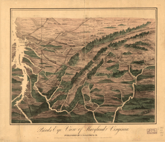
Birds eye view of Maryland and Virginia
$17.95 – $47.95