-

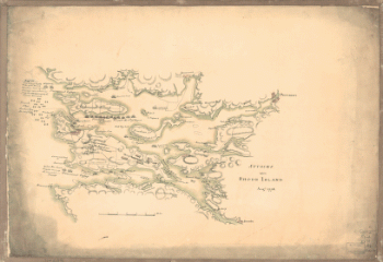
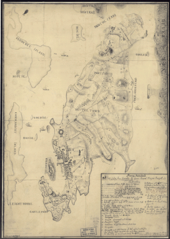
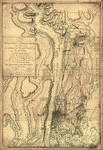
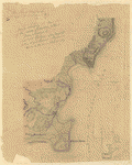
Attacks upon Rhode Island, Augt 1778
$17.95 – $47.95 -
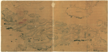
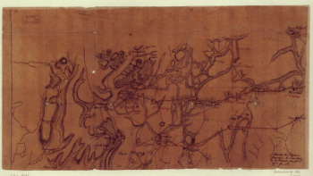
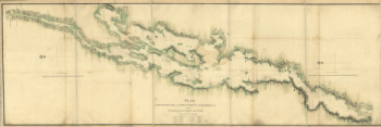
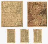
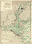
Marche de l'armee francaise de Providence a la Rivière du Nord
$17.95 – $47.95 -
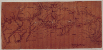
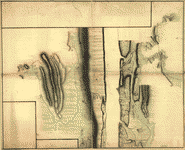
Marche de l'armee francaise de Providence a la Rivière du Nord
$17.95 – $47.95 -
Marche de l'armee francaise de Providence a la Rivière du Nord
$17.95 – $47.95 -
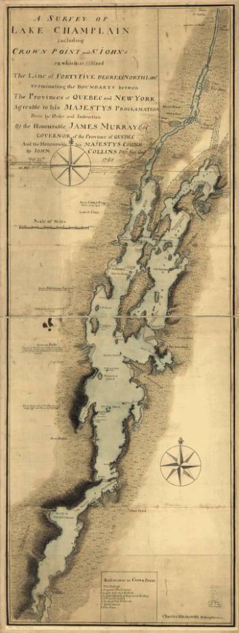
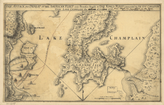
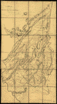
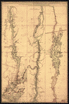
A survey of Lake Champlain
$17.95 – $47.95 -
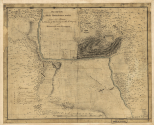
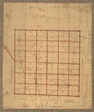
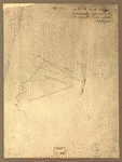
The Above is a plan of the town of Cabot, State of Vermont
$17.95 – $47.95 -
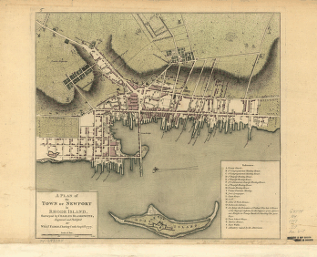
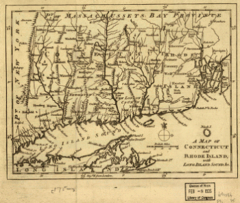
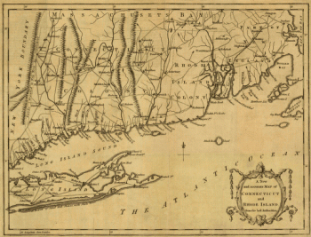
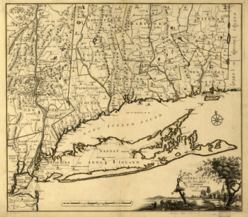
A map of Connecticut and Rhode Island with Long Island Sound, &c
$17.95 – $47.95 -
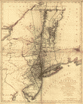
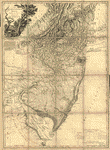
The provinces of New York, and New Jersey
$17.95 – $47.95 -
The provinces of New York, and New Jersey
$17.95 – $47.95 -
The provinces of New York and New Jersey
$17.95 – $47.95 -
The provinces of New York, and New Jersey
$17.95 – $47.95 -
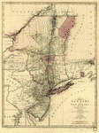
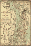
A map of the Province of New-York
$17.95 – $47.95 -
Province of New-York
$17.95 – $47.95 -
Province of New York
$17.95 – $47.95 -
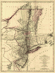
A map of the provinces of New-York and New-Yersey
$17.95 – $47.95 -
A map of the provinces of New-York and New Jersey
$17.95 – $47.95 -
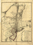
Mappa geographica Provinciae Nova Eboraci ab Anglis New-York
$17.95 – $47.95 -
Part of the Provinces of New York and New Jersey
$17.95 – $47.95 -
A sketch of the operations of His Majesty's fleet
$17.95 – $47.95 -
Operations in America No 2
$17.95 – $47.95 -
Hudsons River – topographical
$17.95 – $47.95 -
New York Island and East Jersey
$17.95 – $47.95 -
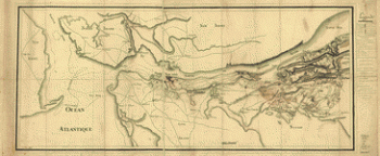
Carte de l'entree de la rivière d'Hudson
$17.95 – $47.95 -
Carte de l'entree de la rivière d'Hudson
$17.95 – $47.95 -
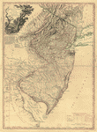
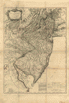
The State of New Jersey
$17.95 – $47.95 -
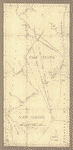
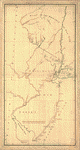
Northern New Jersey – 3 Maps
$17.95 – $47.95 -
Map showing the west shore of the North or Hudson River
$17.95 – $47.95 -
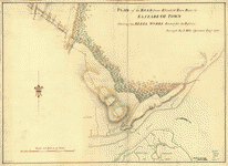
Plan of the road from Elizabeth Town Point to Elizabeth Town
$17.95 – $47.95 -
Amboy to Elizabethtown
$17.95 – $47.95 -
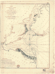
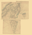
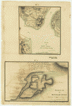
Plan of Perth Amboy from an actual survey
$17.95 – $47.95