-

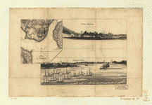
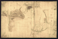
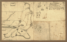
Plan d'Amboy
$17.95 – $47.95 -
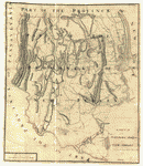
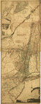
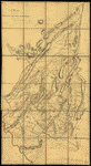
A sketch of the northern parts of New Jersey
$17.95 – $47.95 -
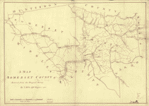
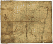
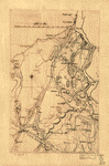
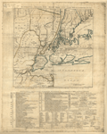
Somerset County
$17.95 – $47.95 -
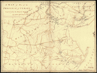
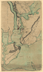
A map of part of the province of Jersey
$17.95 – $47.95 -
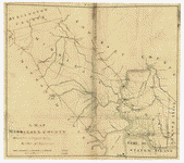
Middlesex County
$17.95 – $47.95 -
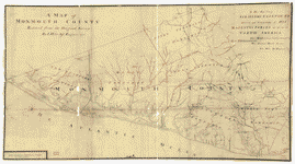
Monmouth County
$17.95 – $47.95 -
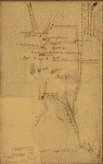
Sketch of Haddonfield
$17.95 – $47.95 -
Sketch of Haddonfield, March 1778
$17.95 – $47.95 -
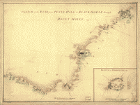
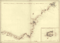
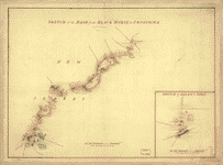
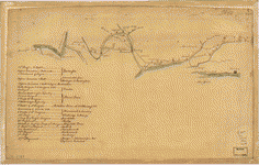
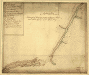
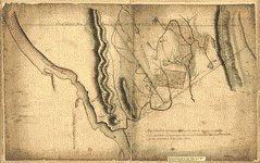
Sketch of the road from Black Horse to Crosswick
$17.95 – $47.95 -
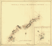
Sketch of the road from Black Horse to Crosswick
$17.95 – $47.95 -
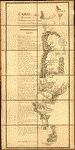
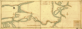
Plan of part of the River Delaware from Chester to Philadelphia
$17.95 – $47.95 -
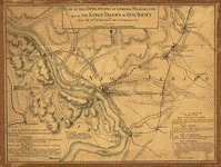
Carte de l'affaire de Montmouth
$17.95 – $47.95 -
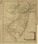
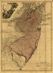
A new and accurate map of New Jersey, from the best authorities
$17.95 – $47.95 -
Plan of Princeton, Dec 31, 1776
$17.95 – $47.95 -
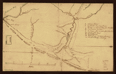
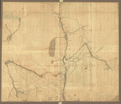
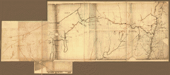
British outposts between Burlington and New Bridge, New Jersey
$17.95 – $47.95 -
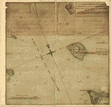
Map of the coast of New Jersey from Barnegat Inlet to Cape May
$17.95 – $47.95 -
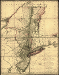
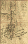
The provinces of New York and New Jersey
$17.95 – $47.95 -
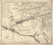
Northern Department of North-America
$17.95 – $47.95 -
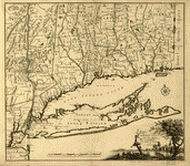
Connecticut and parts adjacent
$17.95 – $47.95 -
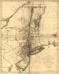
The provinces of New York, and New Jersey
$17.95 – $47.95 -
The provinces of New York, and New Jersey
$17.95 – $47.95 -
The provinces of New York, and New Jersey
$17.95 – $47.95 -
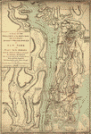
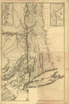
The Province of New York
$17.95 – $47.95 -
A map of the Province of New-York
$17.95 – $47.95 -
A map of the Province of New York
$17.95 – $47.95 -
Province de New-York en 4 feuilles
$17.95 – $47.95 -
The Hudsons River
$17.95 – $47.95 -
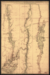
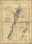
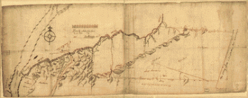
Lake Champlain
$17.95 – $47.95 -
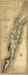
Lake Champlain including Crown Point and St Iohn's
$17.95 – $47.95 -
The Northern parts of New York
$17.95 – $47.95 -
NW parts of New York, no 156
$17.95 – $47.95 -
Map showing the Bowery Lane area of Manhattan
$17.95 – $47.95 -
Plan of Governor's, Kennedy's, and Brown's Islands
$17.95 – $47.95 -
Map of Orange and Rockland counties area of New York
$17.95 – $47.95 -
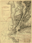
The country twenty five miles round New York
$17.95 – $47.95 -
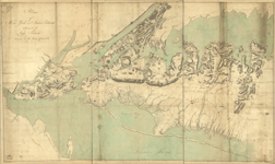
Plan of New York and Staten Islands with part of Long Island
$17.95 – $47.95 -
Plan of New York and Staten Islands with part of Long Island
$17.95 – $47.95